2010s Maps of Spokane, Washington
Explore 24 historic maps of Spokane from the 2010s. These maps offer a rare glimpse into what life looked like during the 2010s — showing old roads, neighborhoods, homes, and landmarks that have changed or disappeared over time.
Whether you're researching your family's past, planning a metal detecting trip, or studying how Spokane's landscape evolved across the 2010s, these high-resolution maps are a powerful tool for exploring the history of this region.
- Focus on a specific era: All maps on this page are from the 2010s, giving you a focused view of this time period.
- See what’s changed: Compare century-old streets, trails, and buildings to today's modern landscape using overlays and satellite layers.
- Research with precision: Use these maps for genealogy, historical research, land use analysis, or educational projects.
- View, download, or print: Maps are fully viewable online in high resolution, and can be downloaded or printed for your own records.
Start exploring Spokane's history through authentic maps from the 2010s. This is your window into the past.
Spokane, WA maps
(24)- 2011 Map of Airway Heights, 2011 Print
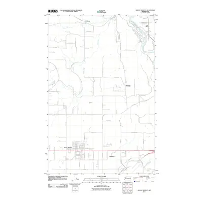 2011 Airway Heights2011 Print · USGSThe growing city of Airway Heights and the surrounding rural plains are captured here in the early 2000s. Genealogists and local historians can locate Stevens Township Hall, the residential clusters of Highland and Lyons, and the scenic boundaries of Riverside State Park.
 - 2011 Map of Dartford, 2011 Print
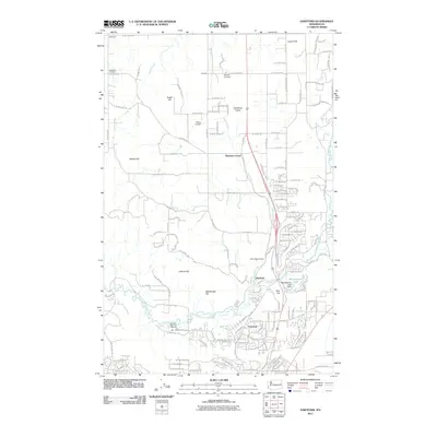 2011 Dartford2011 Print · USGSSpokane County north of the city shows a mix of river valley and prairie in the early twenty-first century. Researchers can trace land use at Pete's Airport, the Spokane State Fish Hatchery, and the historic Wild Rose Cemetery.
 - 2011 Map of Spokane SW, 2011 Print
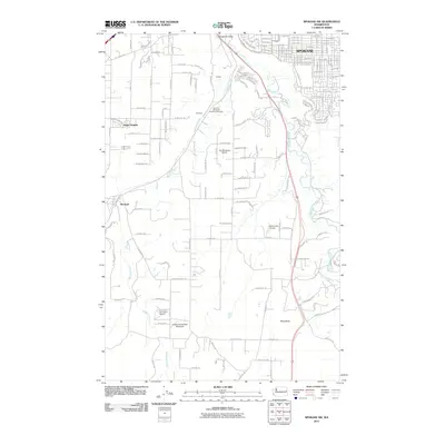 2011 Spokane SW2011 Print · USGSSpokane and its southern valleys are documented in the early twenty-first century as the city expanded into the surrounding hills. Researchers can trace local aviation history at Ox Meadows Airport and Homeport Airport or locate family sites near Marshall.
 - 2011 Map of Four Lakes, 2011 Print
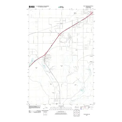 2011 Four Lakes2011 Print · USGSSpokane County's transition from agricultural outposts to modern crossroads is visible here in the early twenty-first century. Researchers can locate family sites near Marshall Cemetery or trace the early paths of Minnie Creek past Scribner and Four Lakes.
 - 2011 Map of Nine Mile Falls, 2011 Print
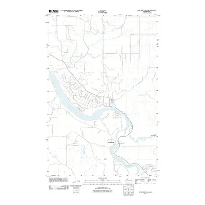 2011 Nine Mile Falls2011 Print · USGSThe convergence of the Spokane and Little Spokane rivers is captured here during the early twenty-first century. Researchers can trace the layout of Nine Mile Falls, locate the Nine Mile Dam, and identify cultural landmarks like the Indian Rock Paintings.
 - 2011 Map of Spokane SE, 2011 Print
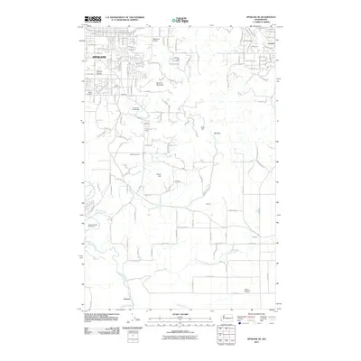 2011 Spokane SE2011 Print · USGSSoutheast Spokane and the adjacent prairie lands are captured here just over a decade ago as suburban growth reached toward the Palouse. Genealogists and local historians can trace family markers at Moran Cemetery and Wood Memorial Cemetery or locate old community hubs like Sharon and Kiesling.
 - 2011 Map of Spokane NW, 2011 Print
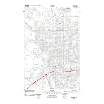 2011 Spokane NW2011 Print · USGSSpokane at the start of the 2010s reveals a cityscape shaped by its dramatic river falls and historic park systems. Local researchers can trace the development of Fivemile Prairie, locate family sites in Holy Cross Cemetery, or study industrial landmarks like The Flour Mill.
 - 2011 Map of Spokane NE, 2011 Print
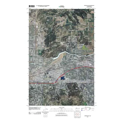 2011 Spokane NE2011 Print · USGSSpokane and its northeast suburbs are captured here in the early twenty-first century, showing the balance of industrial river frontage and upland prairies. Researchers can trace local lineage through Orchard Prairie Cemetery, explore the historic Hutton Settlement, or locate the site of the Playfair Racetrack.
 - 2014 Map of Dartford, 2014 Print
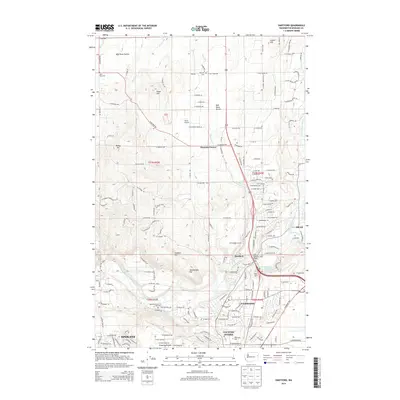 2014 Dartford2014 Print · USGSThe Spokane hinterlands come into focus in the early 2010s as suburban growth meets long-standing agricultural prairies. You can trace early settlement patterns at Wayside and Wild Rose Cem or locate institutional landmarks like Whitworth University.
 - 2014 Map of Spokane NW, 2014 Print
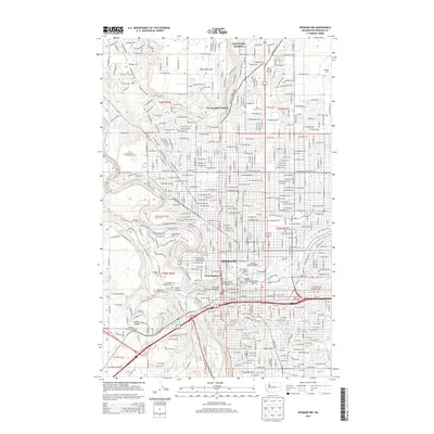 2014 Spokane NW2014 Print · USGSSpokane's urban landscape and riverfront are captured here in the mid-2010s, showing a city defined by its water power and academic centers. Genealogists can trace family records across Fairmount Memorial Park, Holy Cross Cem, and the historic Peaceful Valley neighborhood.
 - 2014 Map of Spokane SE, 2014 Print
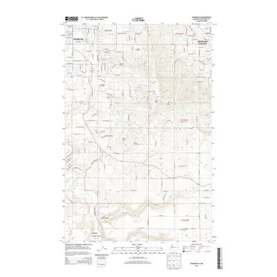 2014 Spokane SE2014 Print · USGSSoutheast Spokane and the Palouse foothills come into focus in the mid-2010s, showing the intersection of suburban growth and traditional prairie life. Local historians can trace the foundations of Glenrose Prairie and Moran Prairie or locate the Wood Memorial Cem near Duncan.
 - 2014 Map of Spokane NE, 2014 Print
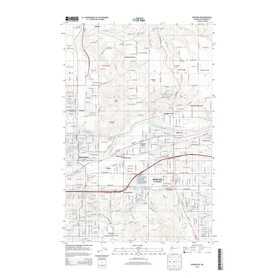 2014 Spokane NE2014 Print · USGSSpokane's northeastern reaches and the sprawling valley floor appear here in high detail during a period of significant suburban integration. Researchers can trace historic neighborhoods like Hillyard, locate family plots at Orchard Prairie Cem, or map the industrial corridor near Felts Field Airport.
 - 2014 Map of Spokane SW, 2014 Print
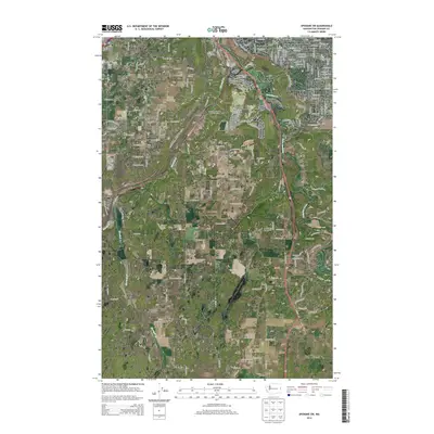 2014 Spokane SW2014 Print · USGSThe outskirts of Spokane and the valley of Hangman Creek are documented here in the early twenty-first century. Local historians can trace the aviation legacy of the area through private fields like Mullan Hill Airport and settlements such as Marshall and Geiger Heights.
 - 2014 Map of Four Lakes, 2014 Print
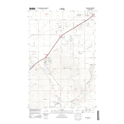 2014 Four Lakes2014 Print · USGSSpokane County at the start of the 2010s reveals a landscape of lakeside settlements and growing infrastructure around Cheney. Researchers can trace the layout of family-named landmarks like Wrights Hill and burial sites at Green Mound Cem.
 - 2014 Map of Airway Heights, 2014 Print
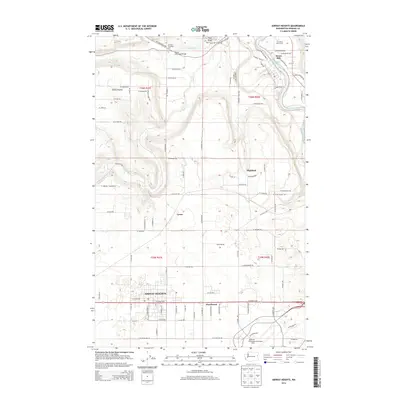 2014 Airway Heights2014 Print · USGSThe West Plains area near Spokane was undergoing significant development in the early 2010s, balancing modern aviation with its rural roots. Researchers can trace the expansion of Airway Heights and the Spokane International Airport alongside older landmarks like the Stevens Township Hall.
 - 2014 Map of Nine Mile Falls, 2014 Print
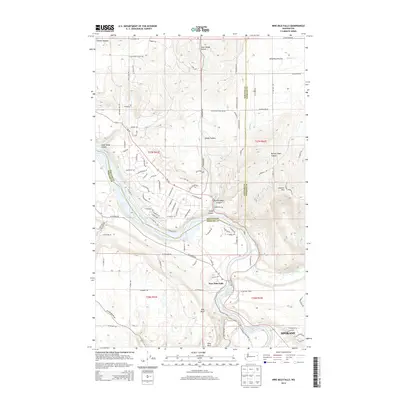 2014 Nine Mile Falls2014 Print · USGSThe Spokane River valley and the Wild Rose Prairie appear here in the early twenty-first century as suburban growth meets the river's rugged canyons. Researchers can trace the water's edge from Nine Mile Falls to Long Lake and explore landmarks like Pine Bluff.
 - 2017 Map of Nine Mile Falls, 2017 Print
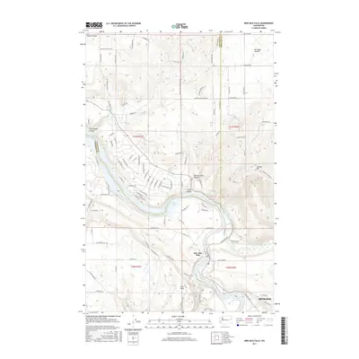 2017 Nine Mile Falls2017 Print · USGSThe Nine Mile Falls area near the Spokane-Stevens county line is shown here in the late twenty-teens as it centers around the Little Spokane River. Researchers can trace the modern development of Wild Rose Prairie or locate landmarks like Lookout Mtn and Pine Bluff.
 - 2017 Map of Spokane NW, 2017 Print
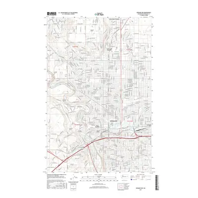 2017 Spokane NW2017 Print · USGSSpokane's urban landscape and the sharp contours of the river valley are captured here in the late 2010s. Researchers can trace the extensive cemetery grounds of Fairmount Memorial Park or locate institutional landmarks like Gonzaga University.
 - 2017 Map of Dartford, 2017 Print
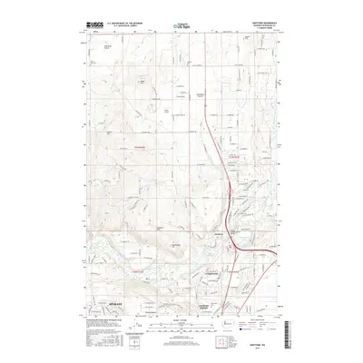 2017 Dartford2017 Print · USGSSpokane's northern reaches and the agricultural plateaus of the late twenty-tens are captured here during a period of suburban expansion. Genealogists and local historians can trace rural landmarks like Wild Rose Cem or explore the development around Whitworth Univ and the Little Spokane River.
 - 2017 Map of Spokane SE, 2017 Print
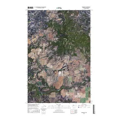 2017 Spokane SE2017 Print · USGSSoutheast of the city in the late twenty-teens, the hills of Moran Prairie meet the rising slopes of Browne Mtn. Genealogists and local historians can trace burial sites at Moran Cem and Wood Memorial Cem or follow the path of Hangman Creek.
 - 2017 Map of Spokane SW, 2017 Print
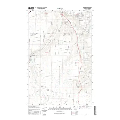 2017 Spokane SW2017 Print · USGSThe southwestern outskirts of Spokane and the pastoral Moran Prairie are captured here during a period of modern suburban and rural development. Genealogists and local historians can trace family locations near Spokane, Marshall, and Spokane Memorial Gardens.
 - 2017 Map of Spokane NE, 2017 Print
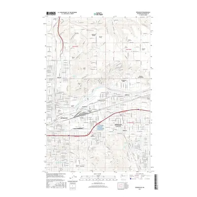 2017 Spokane NE2017 Print · USGSGreater Spokane during the late twenty-tens reveals a landscape defined by its deep rail roots and river-bound industries. Researchers can trace historic neighborhoods from Hillyard to Dishman, and locate legacy sites like Felts Field and Hutton Settlement.
 - 2017 Map of Airway Heights, 2017 Print
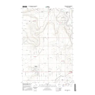 2017 Airway Heights2017 Print · USGSSpokane County's West Plains are captured here during a period of significant aviation and suburban development. Genealogists and local historians can trace the residential growth of Airway Heights and Hazelwood alongside the landmark Spokane International Airport.
 - 2017 Map of Four Lakes, 2017 Print
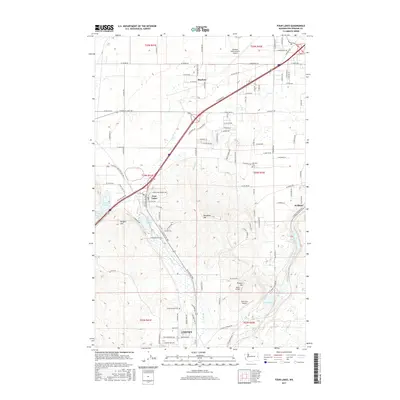 2017 Four Lakes2017 Print · USGSSpokane County's transition from airport hub to college town is captured here in the late 2010s. Genealogists and local historians can trace family sites at Green Mound Cem or locate the small-town roots of Four Lakes and Scribner.
End of results
Showing maps 1-24 of 24
Top cities near Spokane
- Spokane Valley historical maps
- Cheney historical maps
- Airway Heights historical maps
- Colbert historical maps
- Fairwood historical maps
- Mead historical maps
See more
Top neighborhoods of Spokane
- Hillyard historical maps
- Balboa / South Indian Trail historical maps
- Shiloh Hills historical maps
- Lincoln Heights historical maps
- Nevada Heights historical maps
- Northwest historical maps
See more
Frequently asked questions
- What are the different types of historical maps available for Spokane?
- What is the oldest map of Spokane?
- Where can I purchase historical maps of Spokane for my home or office?
- Where can I download high-res historical maps of Spokane?
- Are there historical topographic maps available for Spokane?
- Is there historical aerial imagery available for Spokane?
- Where are historical maps of Spokane sourced from?