1980s Maps of Wahkiakum County, Washington
Explore 12 historic maps of Wahkiakum County from the 1980s. These maps offer a rare glimpse into what life looked like during the 1980s — showing old roads, neighborhoods, homes, and landmarks that have changed or disappeared over time.
Whether you're researching your family's past, planning a metal detecting trip, or studying how Wahkiakum County's landscape evolved across the 1980s, these high-resolution maps are a powerful tool for exploring the history of this region.
- Focus on a specific era: All maps on this page are from the 1980s, giving you a focused view of this time period.
- See what’s changed: Compare century-old streets, trails, and buildings to today's modern landscape using overlays and satellite layers.
- Research with precision: Use these maps for genealogy, historical research, land use analysis, or educational projects.
- View, download, or print: Maps are fully viewable online in high resolution, and can be downloaded or printed for your own records.
Start exploring Wahkiakum County's history through authentic maps from the 1980s. This is your window into the past.
Wahkiakum County, WA maps
(12)- 1981 Map of Astoria, 1982 Print
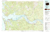 1981 Astoria1982 Print · USGSThe Oregon and Washington borderlands meet at the Columbia River estuary in the early eighties, a time of active timber transport and maritime trade. Researchers can trace the river's many islands, the grounds of Fort Stevens, and riverside towns like Cathlamet and Westport.3 unique versions available
 - 1985 Map of Nassa Point
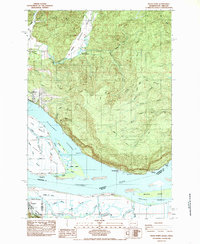 1985 Nassa Point1985 Print · USGSThe Columbia River shoreline near the Washington and Oregon border comes alive in this mid-eighties survey. Researchers can trace the waterfront geography of Cathlamet and Westport, or explore the complex sloughs around Puget Island and Wallace Island.
 - 1985 Map of Oak Point
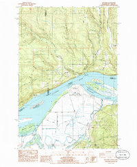 1985 Oak Point1985 Print · USGSThe lower Columbia River shoreline in the mid-1980s reveals a complex landscape of industrial sites and pioneer cemeteries. Genealogists can locate family landmarks like Oak Point Cem and Grasseth Cem alongside river infrastructure like the Beaver Generating Plant.
 - 1985 Map of Shamokawa
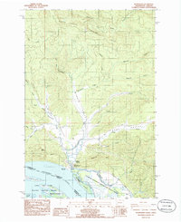 1985 Shamokawa1985 Print · USGSSkamokawa and the surrounding river valleys are captured here in the mid-1980s as the Columbia River shoreline transitioned toward conservation and recreation. Researchers can trace the legacy of the area through Fern Hill Hill Cem, the riverfront at Skamokawa Vista Park, and the quiet corners of Sleepy Hollow.
 - 1985 Map of Skamokawa Pass
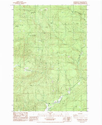 1985 Skamokawa Pass1985 Print · USGSWahkiakum County in the mid-1980s reveals a landscape of industrial forestry and high timber ridges. Researchers can trace the remote settlement at McDonald and the geographic prominence of Huckleberry Ridge as they stood before modern development.
 - 1985 Map of Grays River, 1986 Print
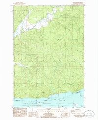 1985 Grays River1986 Print · USGSThe northern banks of the Columbia River are captured in the mid-1980s, showcasing the transition from tidal flats to timbered ridges. Genealogists and historians can locate the Grays River Cem, the historical Covered Bridge, and the small river settlements of Brookfield and Dahlia.
 - 1985 Map of Cathlamet, 1986 Print
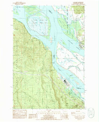 1985 Cathlamet1986 Print · USGSThe Lower Columbia River islands and Washington-Oregon borderlands are mapped here in the mid-eighties, showing a mix of industrial river sites and wildlife conservation. Genealogists and researchers can trace the roads of Puget Island and find landmarks like Greenwood Cemetery and the Gnat Creek Fish Hatchery.
 - 1986 Map of Elochoman Lake
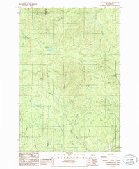 1986 Elochoman Lake1986 Print · USGSThe timberlands and watersheds of southwest Washington are captured here in the mid-1980s as the regional road network was being established. Researchers can trace the drainage patterns of Germany Creek and Elochoman River or locate several local Borrow Pits.
 - 1986 Map of Elochoman Pass
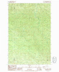 1986 Elochoman Pass1986 Print · USGSThe high timberlands of the Washington interior are captured here in the mid-1980s at the meeting of three counties. Researchers can trace the headwaters of the Chehalis River and find localized landmarks like Elochoman Pass and the Borrow Pit.
 - 1986 Map of Boistfort Peak
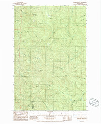 1986 Boistfort Peak1986 Print · USGSThe high ridges of Lewis and Cowlitz counties are captured here in the mid-1980s, showcasing a landscape of timber and headwaters. Researchers can trace the drainages of the South Fork Chehalis River and locate distinctive landmarks like Boistfort Peak and Ferrier Peak.
 - 1986 Map of Blaney Creek
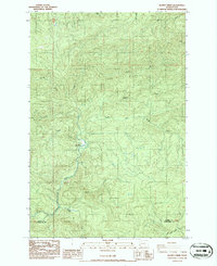 1986 Blaney Creek1986 Print · USGSPacific and Wahkiakum Counties are shown in the mid-1980s as a landscape of timber ridges and salmon-bearing waters. Local researchers can trace the course of the Grays River Salmon Pond or locate historic resource sites like the Quarry and Barrow Pit.
 - 1986 Map of Sweigiler Creek
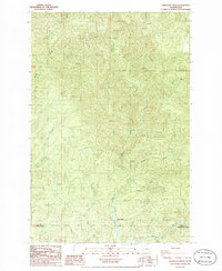 1986 Sweigiler Creek1986 Print · USGSThe Pacific and Wahkiakum county line in the 1980s reveals a landscape of deep timbered valleys and critical river systems. Genealogists and researchers can trace the waters of the Naselle River or locate the site of the Grays River State Fish Hatchery.
End of results
Showing maps 1-12 of 12
Top cities of Wahkiakum County
Frequently asked questions
- What are the different types of historical maps available for Wahkiakum County?
- What is the oldest map of Wahkiakum County?
- Where can I purchase historical maps of Wahkiakum County for my home or office?
- Where can I download high-res historical maps of Wahkiakum County?
- Are there historical topographic maps available for Wahkiakum County?
- Is there historical aerial imagery available for Wahkiakum County?
- Where are historical maps of Wahkiakum County sourced from?