2000s (21st Century) Maps of Wahkiakum County, Washington
Explore 65 historic maps of Wahkiakum County from the 2000s (21st Century). These maps offer a rare glimpse into what life looked like during the 2000s — showing old roads, neighborhoods, homes, and landmarks that have changed or disappeared over time.
Whether you're researching your family's past, planning a metal detecting trip, or studying how Wahkiakum County's landscape evolved across the 2000s, these high-resolution maps are a powerful tool for exploring the history of this region.
- Focus on a specific era: All maps on this page are from the 2000s, giving you a focused view of this time period.
- See what’s changed: Compare century-old streets, trails, and buildings to today's modern landscape using overlays and satellite layers.
- Research with precision: Use these maps for genealogy, historical research, land use analysis, or educational projects.
- View, download, or print: Maps are fully viewable online in high resolution, and can be downloaded or printed for your own records.
Start exploring Wahkiakum County's history through authentic maps from the 2000s. This is your window into the past.
Wahkiakum County, WA maps
(65)- 2011 Map of Blaney Creek, 2011 Print
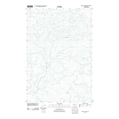 2011 Blaney Creek2011 Print · USGSThe Pacific County timberlands and river headwaters are captured here during the early twenty-first century. Researchers can trace the drainage of the Grays River and locate specific sites like the Blaney Lookout and the Grays River Salmon Pond.
 - 2011 Map of Skamokawa Pass, 2011 Print
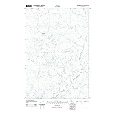 2011 Skamokawa Pass2011 Print · USGSWahkiakum County's timberlands and river valleys are captured here in the early twenty-first century, centered on the strategic crossing at Skamokawa Pass. Genealogists and local historians can trace forest work sites like Family Camp and the grounds of the Elochoman Hatchery.
 - 2011 Map of Sweigiler Creek, 2011 Print
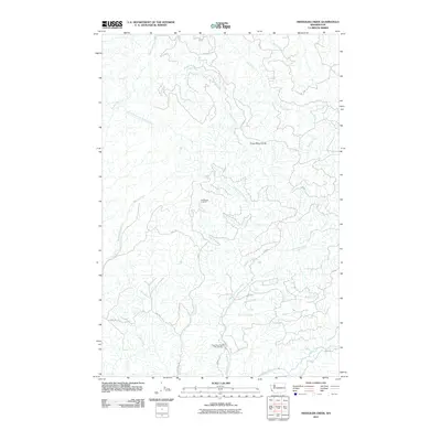 2011 Sweigiler Creek2011 Print · USGSPacific County's timberlands and river systems are shown in detail during the early 21st century. Researchers can trace the logging road networks through the Grays River Divide and locate sites like the Grays River State Fish Hatchery or Hull Creek Lookout.
 - 2011 Map of Elochoman Lake, 2011 Print
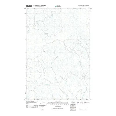 2011 Elochoman Lake2011 Print · USGSCowlitz County timberlands and headwaters are captured here in the early twenty-first century, showing a landscape defined by forestry and stream networks. Researchers can trace historic access routes and lookouts like Incline Truck Trl, Bradley Truck Rd, and the Incline Lookout.
 - 2011 Map of Elochoman Pass, 2011 Print
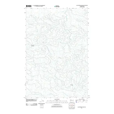 2011 Elochoman Pass2011 Print · USGSThe headwaters of several major river systems converge in this high-altitude landscape during the early twenty-first century. Hydrologists and local researchers can trace the intricate origins of the Chehalis River and the North Fork Elochoman River from landmarks like Elochoman Pass.
 - 2011 Map of Boistfort Peak, 2011 Print
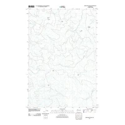 2011 Boistfort Peak2011 Print · USGSThe high timber country of Cowlitz County is captured here in the early twenty-first century, showing the critical headwaters of major Washington rivers. Trace the rugged terrain between the Boistfort Peak Lookout and the upper reaches of the South Fork Chehalis River.
 - 2011 Map of Upper Naselle River, 2011 Print
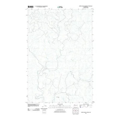 2011 Upper Naselle River2011 Print · USGSPacific County at the turn of the millennium shows a landscape defined by its timber heritage and the winding Naselle River. Researchers can trace old logging routes and family-named landmarks like Bergquist Rd, Alanen Rd, and Deep River Hill.
 - 2011 Map of Oak Point, 2011 Print
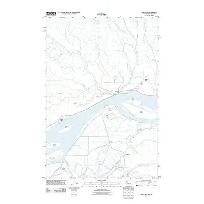 2011 Oak Point2011 Print · USGSThe lower Columbia River shoreline is captured here in the early twenty-first century, showing the industrial development and historic cemeteries of the Washington-Oregon border. Genealogists can locate family sites like Grasseth Cemetery and Bunker Hill Cemetery, while historians can trace the river economy at Port Westward.
 - 2011 Map of Nassa Point, 2011 Print
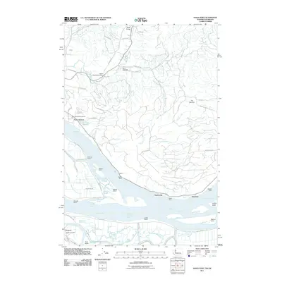 2011 Nassa Point2011 Print · USGSThe Lower Columbia River frontier is captured here in the early twenty-first century, showing the intricate tidal islands and waterfront settlements between Washington and Oregon. Genealogists and locals can trace the roads and landmarks of Upper Elochoman Valley or locate the Westport Post Office and Waterford.
 - 2011 Map of Cathlamet, 2011 Print
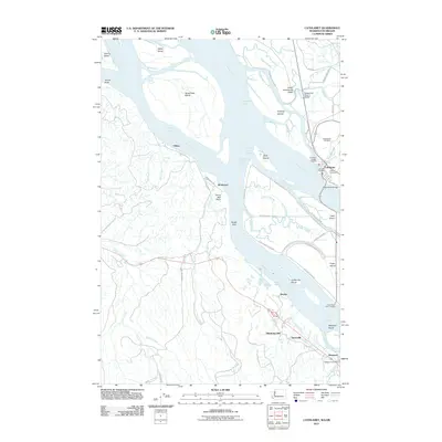 2011 Cathlamet2011 Print · USGSThe Columbia River estuary at the start of the decade shows a landscape shaped by water and timber. Researchers can locate the Puget Island Ferry Landing, trace family roots at Pioneer Cemetery, or explore the old riverfronts at Bradwood and Westport.
 - 2011 Map of Skamokawa, 2011 Print
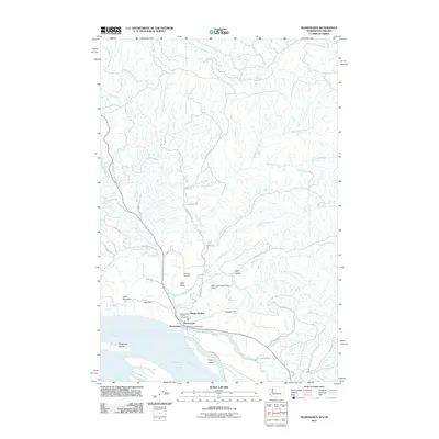 2011 Skamokawa2011 Print · USGSThe riverfront and valley communities of Wahkiakum County are captured here in the early twenty-first century. Researchers can trace local heritage at Fern Hill Cemetery or explore the river-side geography of Price Island and Steamboat Slough.
 - 2011 Map of Grays River, 2011 Print
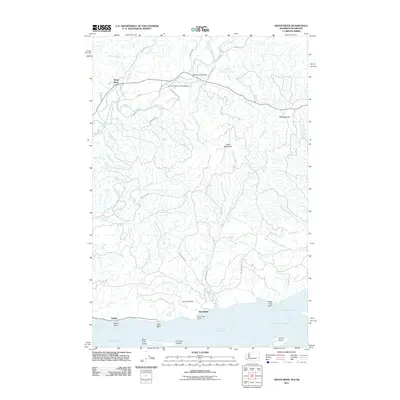 2011 Grays River2011 Print · USGSNear the mouth of the Columbia River in the early twenty-first century, this area shows a landscape defined by timbered ridges and tidal reaches. Researchers can locate the landmark Grays River Covered Bridge or trace the riverfront history of Brookfield and Dahlia.
 - 2011 Map of Rosburg, 2011 Print
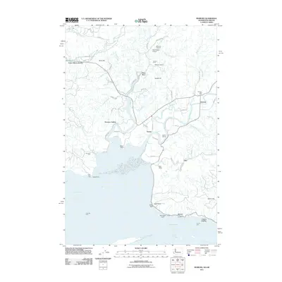 2011 Rosburg2011 Print · USGSWahkiakum County’s riverfront is captured here in the early twenty-first century, showing a landscape defined by tidal sloughs and historic landings. Researchers can trace the roots of riverside settlements at Altoona, Eden, and the Rosburg Post Office.
 - 2013 Map of Upper Naselle River, 2013 Print
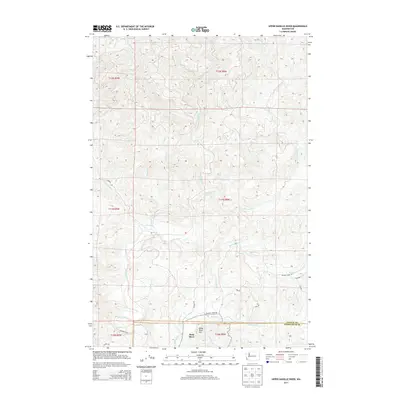 2013 Upper Naselle River2013 Print · USGSCoastal Washington's timbered interior is captured here in the early twenty-first century, showing the remote drainages of the Naselle River. Researchers can trace old forest access routes like Bergquist Rd and Bighill Rd near the settlement of Deep River.
 - 2013 Map of Elochoman Pass, 2013 Print
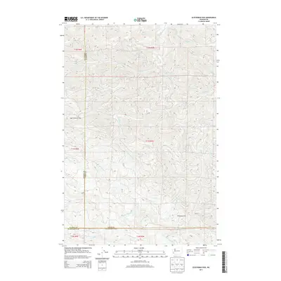 2013 Elochoman Pass2013 Print · USGSThe high timberlands of Lewis County and its neighbors are captured here at the start of the decade, showing a landscape defined by its river headwaters. Researchers can trace the origins of the Chehalis River and locate vital mountain crossings at Elochoman Pass and Sage Creek Low Gap.
 - 2013 Map of Blaney Creek, 2013 Print
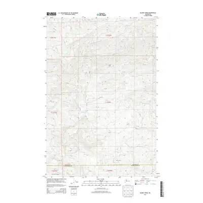 2013 Blaney Creek2013 Print · USGSThe Pacific and Wahkiakum county line crosses this coastal timberland during the early twenty-first century. Researchers can trace the logging history and hydrology of the Grays River system, from the Blaney Lookout to the Grays River Salmon Pond.
 - 2013 Map of Grays River, 2013 Print
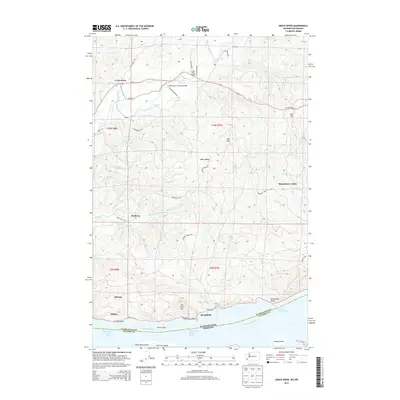 2013 Grays River2013 Print · USGSCoastal Wahkiakum County is seen here in the early twenty-first century as the Grays River valley meets the Columbia. Genealogists and historians can trace the riverside sites of Altoona, Brookfield, and the Grays River Covered Bridge.
 - 2013 Map of Sweigiler Creek, 2013 Print
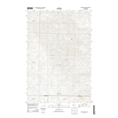 2013 Sweigiler Creek2013 Print · USGSPacific and Wahkiakum counties were deeply tied to the river systems of the Willapa Hills during the early 2000s. Researchers can trace the management of local watersheds through the Grays River State Fish Hatchery and the historic Hull Creek Lookout.
 - 2013 Map of Elochoman Lake, 2013 Print
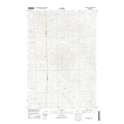 2013 Elochoman Lake2013 Print · USGSThe timberlands of the Wahkiakum and Cowlitz border are captured here in the early twenty-first century. Researchers can trace the extensive logging road network and drainage basins of the S Fork Chehalis River, Elochoman Lake, and the high-point Incline Lookout.
 - 2013 Map of Boistfort Peak, 2013 Print
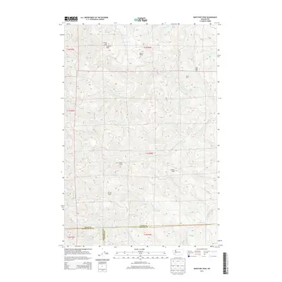 2013 Boistfort Peak2013 Print · USGSThe high ridges of southwest Washington are mapped here in the early twenty-first century at the intersection of Lewis, Cowlitz, and Wahkiakum counties. Researchers can trace the rugged watershed from Boistfort Peak Lookout down to the S Fork Chehalis River and Stillman Cr.
 - 2013 Map of Skamokawa Pass, 2013 Print
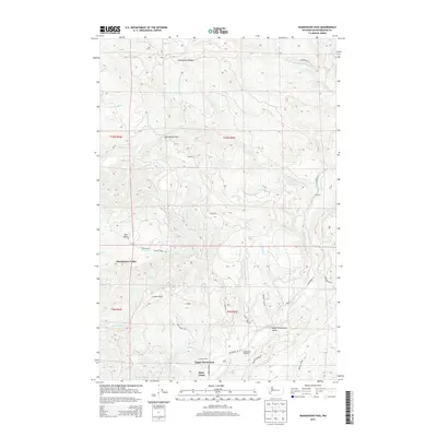 2013 Skamokawa Pass2013 Print · USGSThe high timber country of Wahkiakum County is documented here during the early twenty-first century. Researchers can trace the river-bottom settlements of Skamokawa Valley and Upper Elochoman alongside landmarks like the Elochoman Hatchery.
 - 2014 Map of Nassa Point, 2014 Print
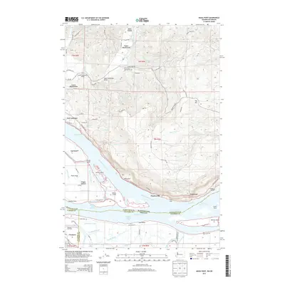 2014 Nassa Point2014 Print · USGSThe Washington and Oregon border along the Columbia River is defined here by a maze of sloughs and tidal islands in the early twenty-first century. Genealogists and local historians can trace family-named sites and rural settlements from Westport to East Cathlamet and the Lower Elochoman Valley.
 - 2014 Map of Skamokawa, 2014 Print
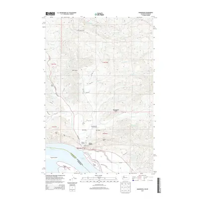 2014 Skamokawa2014 Print · USGSThe Lower Columbia River shoreline in Wahkiakum County is captured here in the early twenty-first century. Researchers can trace the layout of Skamokawa and the surrounding drainages, locating the Fern Hill Cem and Wahkiakum County Fairgrounds.
 - 2014 Map of Cathlamet, 2014 Print
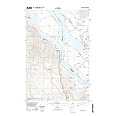 2014 Cathlamet2014 Print · USGSThe Columbia River corridor is captured here in the early 21st century, showing the intricate sloughs and islands between Washington and Oregon. Researchers can trace local heritage at Cathlamet, locate Pioneer Cem, and find river landmarks like the Puget Island Ferry Landing.
 - 2014 Map of Rosburg, 2014 Print
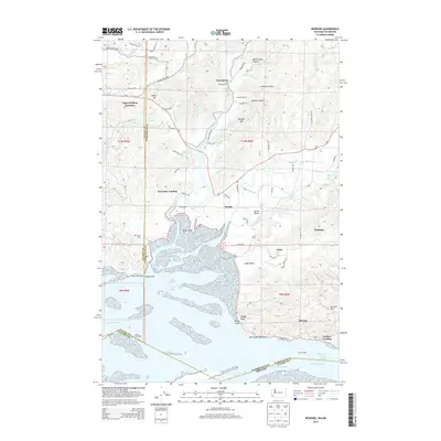 2014 Rosburg2014 Print · USGSWahkiakum County's riverfront and timberlands are documented here as they appeared in the early 21st century. Genealogists and local historians can trace family-named sites like Johnson Ranch and Old Camp Brix or locate shoreline markers like Rocky Point Light.
Showing maps 1-25 of 65
Top cities of Wahkiakum County
Frequently asked questions
- What are the different types of historical maps available for Wahkiakum County?
- What is the oldest map of Wahkiakum County?
- Where can I purchase historical maps of Wahkiakum County for my home or office?
- Where can I download high-res historical maps of Wahkiakum County?
- Are there historical topographic maps available for Wahkiakum County?
- Is there historical aerial imagery available for Wahkiakum County?
- Where are historical maps of Wahkiakum County sourced from?