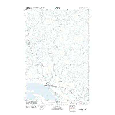
2011 Map of Skamokawa
USGS Topo · Published 2011About this map
Skamokawa sits at the heart of this coastal river landscape, where the Columbia River meets a complex network of sloughs and creek forks. The area is defined by its deep valley settlements, including West Valley, Middle Valley, and the aptly named Sleepy Hollow. Near the river's edge, the Wahkiakum County Fairgrounds and the Skamokawa Post Office serve as local landmarks for this community. The topography is shaped by the transition from the waterway to the highlands, with Lutes Mountain and Moe Hill rising above the bottomlands.
Find a feature on this map
53 named features on this map. Tap any name to fly to it.
Don’t see what you’re looking for? This feature index may not catch every label — zoom into the map to look around manually.
Map Details
Editions of this 2011 Skamokawa Map
This is the sole edition of this map. No revisions or reprints were ever made.
Other maps of this area

1940 · Svensen
USGS Topo · 1:62,500

1940 · Brookfield
USGS Topo · 1:62,500

1941 · Skamokawa
USGS Topo · 1:62,500

1941 · Cathlamet
USGS Topo · 1:62,500

1953 · Hoquiam
USGS Topo · 1:250,000

1953 · Skamokawa
USGS Topo · 1:62,500

1953 · Cathlamet
USGS Topo · 1:62,500
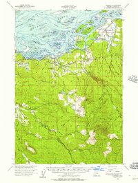
1955 · Svensen
USGS Topo · 1:62,500

1955 · Grays River
USGS Topo · 1:62,500

1957 · Hoquiam
USGS Topo · 1:250,000