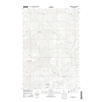
2013 Map of Skamokawa Pass
USGS Topo · Published 2013About this map
Huckleberry Ridge and the Skamokawa Pass define the high terrain of Wahkiakum County in this 2013 survey, where the landscape transitions into the deep drainages of the Elochoman River system. The map reveals a specialized pattern of use, with industrial and conservation sites like the Elochoman Hatchery and State Camp situated along the valley floors. Settlement is concentrated in the sheltered lowlands of Skamokawa Valley and East Valley, where Wilson Cr and Alger Cr converge.
Find a feature on this map
38 named features on this map. Tap any name to fly to it.
Don’t see what you’re looking for? This feature index may not catch every label — zoom into the map to look around manually.
Map Details
Editions of this 2013 Skamokawa Pass Map
This is the sole edition of this map. No revisions or reprints were ever made.
Other maps of this area

1919 · Mayger
USGS Topo · 1:62,500

1941 · Skamokawa
USGS Topo · 1:62,500

1941 · Clatskanie
USGS Topo · 1:62,500

1941 · Cathlamet
USGS Topo · 1:62,500

1952 · Clatskanie
USGS Topo · 1:62,500

1953 · Hoquiam
USGS Topo · 1:250,000

1953 · Ryderwood
USGS Topo · 1:62,500

1953 · Skamokawa
USGS Topo · 1:62,500

1953 · Cathlamet
USGS Topo · 1:62,500

1957 · Hoquiam
USGS Topo · 1:250,000