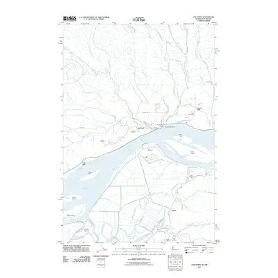
2011 Map of Oak Point
USGS Topo · Published 2011About this map
Columbia River commerce and the low-lying wetlands of the lower river basin define this landscape on the Washington-Oregon border. The settlement at Oak Point and the nearby rise of Bunker Hill overlook a complex network of channels and islands, including Crims Island and Gull Island. This area serves as a primary industrial corridor, evidenced by the expansive infrastructure at Port Westward and the Port Westward Spur. These facilities are built upon a foundation of sloughs and reclaimed land, where McLean Slough and Dobbins Slough snake through the marshes near the town of Quincy.
Find a feature on this map
91 named features on this map. Tap any name to fly to it.
Don’t see what you’re looking for? This feature index may not catch every label — zoom into the map to look around manually.
Map Details
Editions of this 2011 Oak Point Map
This is the sole edition of this map. No revisions or reprints were ever made.
Other maps of this area

1919 · Mayger
USGS Topo · 1:62,500

1941 · Skamokawa
USGS Topo · 1:62,500

1941 · Clatskanie
USGS Topo · 1:62,500

1941 · Cathlamet
USGS Topo · 1:62,500

1952 · Clatskanie
USGS Topo · 1:62,500

1953 · Hoquiam
USGS Topo · 1:250,000

1953 · Ryderwood
USGS Topo · 1:62,500

1953 · Skamokawa
USGS Topo · 1:62,500

1953 · Cathlamet
USGS Topo · 1:62,500

1957 · Hoquiam
USGS Topo · 1:250,000