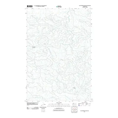
2011 Map of Elochoman Pass
USGS Topo · Published 2011About this map
Elochoman Pass serves as a central geographic landmark in this heavily dissected landscape, where multiple river systems originate and diverge. The area is defined by the headwaters of the Chehalis River, including its West Fork and East Fork, which flow alongside numerous named tributaries such as Big Roger Creek and Cinnabar Creek. The intricate drainage patterns shown here illustrate the watershed divide between the Chehalis basin and the rivers flowing south toward the Columbia, including the North Fork Elochoman River and the forks of the Grays River.
Find a feature on this map
18 named features on this map. Tap any name to fly to it.
Don’t see what you’re looking for? This feature index may not catch every label — zoom into the map to look around manually.
Map Details
Editions of this 2011 Elochoman Pass Map
This is the sole edition of this map. No revisions or reprints were ever made.
Other maps of this area

1941 · Walville
USGS Topo · 1:62,500

1941 · Meskill
USGS Topo · 1:62,500

1941 · Skamokawa
USGS Topo · 1:62,500

1953 · Hoquiam
USGS Topo · 1:250,000

1953 · Ryderwood
USGS Topo · 1:62,500

1953 · Skamokawa
USGS Topo · 1:62,500

1953 · Pe Ell
USGS Topo · 1:62,500

1953 · Adna
USGS Topo · 1:62,500

1957 · Hoquiam
USGS Topo · 1:250,000

1958 · Hoquiam
USGS Topo · 1:250,000