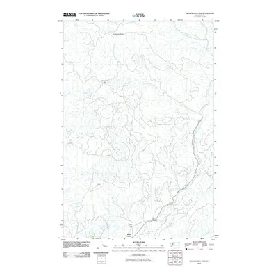
2011 Map of Skamokawa Pass
USGS Topo · Published 2011About this map
The Elochoman River and its intricate network of tributaries define the landscape of this region in Wahkiakum County. The river system includes the North Fork Elochoman River and West Fork Elochoman River, which drain the timberlands surrounding Huckleberry Ridge. This map documents a transition point between natural hydrology and early 21st-century infrastructure, centered on the Skamokawa Pass.
Find a feature on this map
30 named features on this map. Tap any name to fly to it.
Don’t see what you’re looking for? This feature index may not catch every label — zoom into the map to look around manually.
Map Details
Editions of this 2011 Skamokawa Pass Map
This is the sole edition of this map. No revisions or reprints were ever made.
Other maps of this area

1919 · Mayger
USGS Topo · 1:62,500

1941 · Skamokawa
USGS Topo · 1:62,500

1941 · Clatskanie
USGS Topo · 1:62,500

1941 · Cathlamet
USGS Topo · 1:62,500

1952 · Clatskanie
USGS Topo · 1:62,500

1953 · Hoquiam
USGS Topo · 1:250,000

1953 · Ryderwood
USGS Topo · 1:62,500

1953 · Skamokawa
USGS Topo · 1:62,500

1953 · Cathlamet
USGS Topo · 1:62,500

1957 · Hoquiam
USGS Topo · 1:250,000