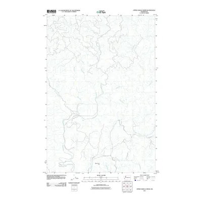
2011 Map of Upper Naselle River
USGS Topo · Published 2011About this map
Naselle River and its intricate network of tributaries define this coastal drainage basin in Pacific County. The terrain is characterized by the branching headwaters of the North Naselle River, Alder Creek, and Brock Creek, which carve through the heavily forested landscape. To the south, Deep River Hill stands as a prominent elevation point overlooking the transition toward the Deep River basin.
Find a feature on this map
23 named features on this map. Tap any name to fly to it.
Don’t see what you’re looking for? This feature index may not catch every label — zoom into the map to look around manually.
Map Details
Editions of this 2011 Upper Naselle River Map
This is the sole edition of this map. No revisions or reprints were ever made.
Other maps of this area

1938 · Fort Columbia
USGS Topo · 1:62,500

1938 · South Bend
USGS Topo · 1:62,500

1940 · Brookfield
USGS Topo · 1:62,500

1940 · South Bend
USGS Topo · 1:62,500

1943 · Fort Columbia
USGS Topo · 1:62,500

1949 · Upper Naselle River
USGS Topo · 1:24,000

1949 · Oman Ranch
USGS Topo · 1:24,000

1949 · Knappton
USGS Topo · 1:24,000

1949 · Rosburg
USGS Topo · 1:24,000

1953 · Hoquiam
USGS Topo · 1:250,000