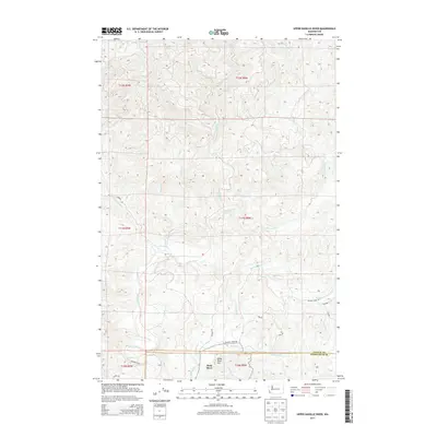
2013 Map of Upper Naselle River
USGS Topo · Published 2013About this map
The Naselle River flows through this heavily forested portion of the Pacific Northwest, tracing a winding path through the southwest corner of Pacific County. The terrain is defined by a dense network of drainage systems, including the N Nemah River and Salmon Creek, which carve through the timbered hills. Near the southern border, the map identifies the small settlement of Deep River situated near the base of Deep River Hill. This area, documented in the early 21st century, shows a landscape managed for commercial forestry, characterized by numerous numbered logging roads such as 4900 Rd and 5910 Rd. The boundary between Pacific County and Wahkiakum County is clearly delineated at the southern edge, where the headwaters of Russian Cr and Person Cr begin their descent toward the Columbia River watershed.
Find a feature on this map
27 named features on this map. Tap any name to fly to it.
Don’t see what you’re looking for? This feature index may not catch every label — zoom into the map to look around manually.
Map Details
Editions of this 2013 Upper Naselle River Map
This is the sole edition of this map. No revisions or reprints were ever made.
Other maps of this area

1938 · Fort Columbia
USGS Topo · 1:62,500

1938 · South Bend
USGS Topo · 1:62,500

1940 · Brookfield
USGS Topo · 1:62,500

1940 · South Bend
USGS Topo · 1:62,500

1943 · Fort Columbia
USGS Topo · 1:62,500

1949 · Upper Naselle River
USGS Topo · 1:24,000

1949 · Oman Ranch
USGS Topo · 1:24,000

1949 · Knappton
USGS Topo · 1:24,000

1949 · Rosburg
USGS Topo · 1:24,000

1953 · Hoquiam
USGS Topo · 1:250,000