Old Maps of Grays River, Washington for Genealogy
Trace your family roots with 13 historic maps of Grays River. These high-res maps reveal old neighborhoods, homesites, landmarks, and streets — helping you uncover where your ancestors lived and how the area evolved over time.
- Explore historic neighborhoods: Identify where your relatives may have lived in the 1800s or 1900s.
- Compare maps over time: Trace the changes in streets, buildings, and landmarks for multi-generational research.
- Perfect for genealogy & ancestry research: Used by family historians and researchers to map out lineage and migration.
These maps are an incredible resource for exploring your personal connection to Grays River's past.
Grays River, WA maps
(13)- 1940 Map of Brookfield
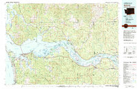
 1940 Brookfield1940 Print · USGSPacific and Wahkiakum Counties are shown in detail during the early 1940s, highlighting the heavy industrial presence along the Columbia River shoreline. Researchers can locate salmon canneries, logging camps, and family holdings such as the Pillar Rock Cannery, Old Camp Brix Logging Co, and Maki Ranch.
 - 1953 Map of Hoquiam
 1953 Hoquiam1953 Print · USGSSouthwest Washington in the early fifties shows a landscape shaped by timber, rail, and river commerce from the coast to the Cascades. Genealogists and historians can trace the development of timber towns like Ryderwood and the industrial hubs of Hoquiam and Kelso.2 unique versions available
 - 1955 Map of Grays River, 1957 Print
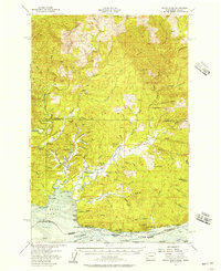 1955 Grays River1957 Print · USGSCoastal Washington and the northern bank of the Columbia River are shown here in the mid-fifties, when timber and fishing drove the local economy. Researchers can locate the Grays River Cemetery, the Pillar Rock Cannery, and rural landmarks like the Dahlia Sch.3 unique versions available
 - 1957 Map of Hoquiam
 1957 Hoquiam1957 Print · USGSCoastal timber ports and inland rail hubs define Southwest Washington during the late fifties. Genealogists can trace early twentieth-century settlements like Bordeaux, Tono, and Cosmopolis alongside the expanding tracks of the Northern Pacific.
 - 1958 Map of Hoquiam, 1969 Print
 1958 Hoquiam1969 Print · USGSSouthwest Washington and the Columbia River estuary appear here in the mid-century, before major landscape shifts. Researchers can trace the rail lines of the Northern Pacific, locate the Fort Henness Site, or explore the Naselle Air Force Station.2 unique versions available
 - 1962 Map of Hoquiam
 1962 Hoquiam1962 Print · USGSSouthwest Washington in the late fifties is defined by the bustling timber ports of Hoquiam and the rail-linked commerce of the interior valleys. Genealogists and historians can trace the early footprints of settlements like Raymond and Pe Ell, or locate family sites at Grand Mound Cem and Odd Fellows Cem.
 - 1981 Map of Astoria, 1982 Print
 1981 Astoria1982 Print · USGSThe Oregon and Washington borderlands meet at the Columbia River estuary in the early eighties, a time of active timber transport and maritime trade. Researchers can trace the river's many islands, the grounds of Fort Stevens, and riverside towns like Cathlamet and Westport.3 unique versions available
 - 1985 Map of Grays River, 1986 Print
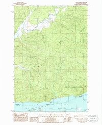 1985 Grays River1986 Print · USGSThe northern banks of the Columbia River are captured in the mid-1980s, showcasing the transition from tidal flats to timbered ridges. Genealogists and historians can locate the Grays River Cem, the historical Covered Bridge, and the small river settlements of Brookfield and Dahlia.
 - 2011 Map of Grays River, 2011 Print
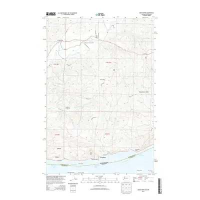
 2011 Grays River2011 Print · USGSCovers Grays River, including Dahlia, Brookfield, and other nearby areas
 - 2013 Map of Grays River, 2013 Print
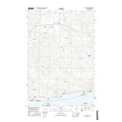
 2013 Grays River2013 Print · USGSCovers Grays River, including Dahlia, Brookfield, and other nearby areas
 - 2017 Map of Grays River, 2017 Print
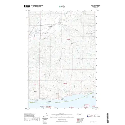
 2017 Grays River2017 Print · USGSCovers Grays River, including Dahlia, Brookfield, and other nearby areas
 - 2020 Map of Grays River, 2020 Print
 2020 Grays River2020 Print · USGSCovers Grays River, including Dahlia, Brookfield, and other nearby areas
 - 2023 Map of Grays River, 2023 Print
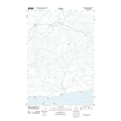
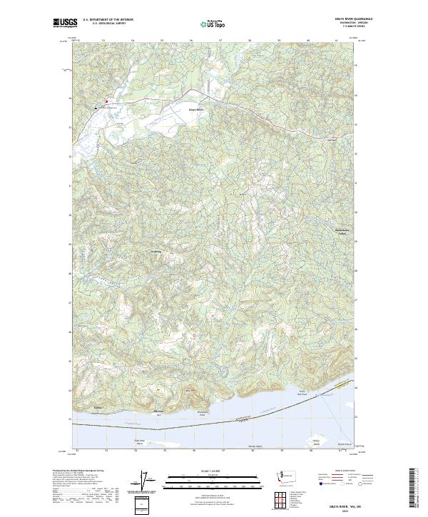 2023 Grays River2023 Print · USGSThe lower Columbia River shoreline and the timbered hills of Wahkiakum County are captured here in the early twenty-first century. Researchers can trace historic riverfront settlements like Altoona and Dahlia or locate the Grays River Grange Cem and Covered Bridge Rd.
End of results
Showing maps 1-13 of 13
Top cities near Grays River
Frequently asked questions
- What are the different types of historical maps available for Grays River?
- What is the oldest map of Grays River?
- Where can I purchase historical maps of Grays River for my home or office?
- Where can I download high-res historical maps of Grays River?
- Are there historical topographic maps available for Grays River?
- Is there historical aerial imagery available for Grays River?
- Where are historical maps of Grays River sourced from?