Old Maps of Deer Cove, Washington for Genealogy
Trace your family roots with 14 historic maps of Deer Cove. These high-res maps reveal old neighborhoods, homesites, landmarks, and streets — helping you uncover where your ancestors lived and how the area evolved over time.
- Explore historic neighborhoods: Identify where your relatives may have lived in the 1800s or 1900s.
- Compare maps over time: Trace the changes in streets, buildings, and landmarks for multi-generational research.
- Perfect for genealogy & ancestry research: Used by family historians and researchers to map out lineage and migration.
These maps are an incredible resource for exploring your personal connection to Deer Cove's past.
Deer Cove, WA maps
(14)- 1902 Map of Mount Aix
 1902 Mount Aix1902 Print · USGSThe eastern Cascades around Yakima are captured here at the start of the twentieth century, showing a high-country landscape of early mining and pack trails. Genealogists and historians can locate the site of Fife's Mine, the settlement at Goose Prairie, and early landmarks like Lake House.
 - 1904 Map of Mt Aix
 1904 Mt Aix1904 Print · USGSThe high mountain passes and forest reserves of the Central Cascades are captured here at the start of the century. Genealogists and researchers can trace early outposts like Russell Ranch and the Lake House, or locate the Fires Mine and remote Mc Allister Meadows.6 unique versions available
 - 1950 Map of Yakima, 1951 Print
 1950 Yakima1951 Print · USGSThe Yakima Valley and the towering Cascades meet in this mid-century survey of South Central Washington. Genealogists and local historians can trace the irrigation-era growth of Yakima, the historic Fort Simcoe outpost, and the White Swan Mission on the Yakima Indian Reservation.
 - 1958 Map of Yakima, 1964 Print
 1958 Yakima1964 Print · USGSThe Yakima Valley in the late fifties shows a landscape of mountain peaks and irrigated plains at the height of its rail-era development. Researchers can trace the lineage of early settlements through sites like Fort Simcoe, the Wenas Cemetery, and the Yakima Indian Agency School.3 unique versions available
 - 1961 Map of Yakima
 1961 Yakima1961 Print · USGSCentral Washington thrived in the mid-century as an agricultural powerhouse defined by the Yakima River. Trace local roots through Medicine Valley School, Fort Simcoe, and the rail lines of the Northern Pacific RR.
 - 1971 Map of Cliffdell, 1973 Print
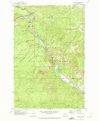 1971 Cliffdell1973 Print · USGSThe Naches River valley in the early seventies shows a landscape of mountain settlements and forest recreation. Trace the community layout of Cliffdell, the grounds of Camp Roganunda, and family history at Peterson Cem.2 unique versions available
 - 1978 Map of Mount Rainier
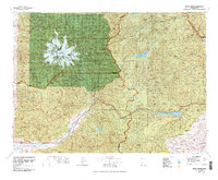 1978 Mount Rainier1978 Print · USGSThe high Cascades and the Yakima backcountry are shown in detail during the late seventies, centered on the glacial peaks and river valleys. Researchers can trace the development of Packwood and Goose Prairie or locate landmarks like the Packwood Landing Strip and Rimrock Lake.2 unique versions available
 - 1992 Map of Cliffdell, 1996 Print
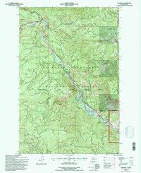 1992 Cliffdell1996 Print · USGSThe Naches River valley in the early nineties highlights a landscape of forest management and mountain recreation. Researchers can trace local landmarks like Peterson Cem and Camp Roganunda, or locate natural features such as Boulder Cave and Milk Pond.
 - 2000 Map of Cliffdell, 2001 Print
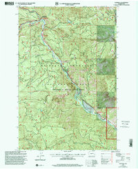 2000 Cliffdell2001 Print · USGSThe Naches River valley in the Central Cascades is captured here at the end of the century, showing a landscape defined by mountain recreation and small riverside settlements. Researchers can trace the grounds of Camp Roganunda, find the Peterson Cem, and locate numerous sites like Sawmill Flat Campground.
 - 2011 Map of Cliffdell, 2011 Print
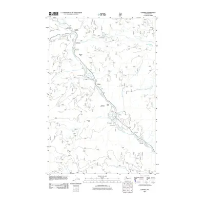 2011 Cliffdell2011 Print · USGSThe Naches River valley in the early twenty-first century shows a landscape defined by seasonal camps and riverside settlements. Researchers can locate family landmarks like Peterson Cemetery or trace the development around Cliffdell, Pinecliff, and Sawmill Flat.
 - 2014 Map of Cliffdell, 2014 Print
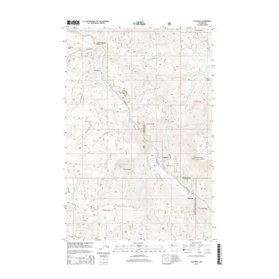 2014 Cliffdell2014 Print · USGSThe river valleys of the Snoqualmie National Forest appear in high detail during the early 2010s, centering on the mountain passage of the Naches River. Local historians and hikers can trace the corridor of State Hwy 410 to find Cliffdell, the Peterson Cem, and notable landmarks like Edgar Rock.
 - 2017 Map of Cliffdell, 2017 Print
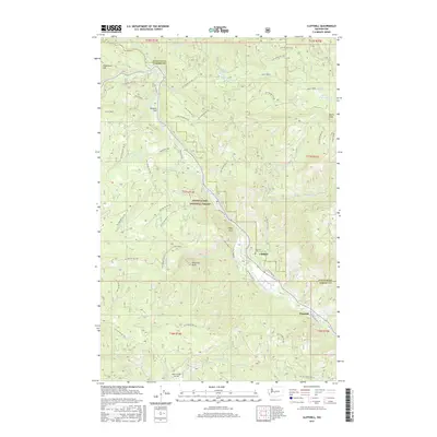 2017 Cliffdell2017 Print · USGSUpper Yakima County mountain life is centered around the confluence of the Naches and Bumping rivers in the late twenty-teens. Researchers can trace forest development roads to Peterson Cem, the community of Cliffdell, and landmarks like Boulder Cave.
 - 2020 Map of Cliffdell, 2020 Print
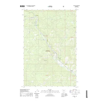 2020 Cliffdell2020 Print · USGSThe Naches River valley in the early twenty-first century remains a vital corridor through the Yakima County high country. Genealogists and hikers can locate the Peterson Cem near Cliffdell or explore the landmarks of Boulder Cave and Sawmill Flat.
 - 2023 Map of Cliffdell, 2023 Print
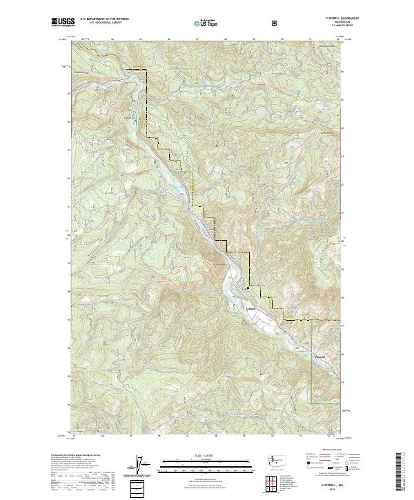 2023 Cliffdell2023 Print · USGSCliffdell and the Naches River canyon are documented here in the early 2020s on the Yakima and Kittitas county line. Genealogists and hikers can trace local landmarks like Peterson Cem, the Sawmill Flat settlement, and Edgar Rock.
End of results
Showing maps 1-14 of 14
Frequently asked questions
- What are the different types of historical maps available for Deer Cove?
- What is the oldest map of Deer Cove?
- Where can I purchase historical maps of Deer Cove for my home or office?
- Where can I download high-res historical maps of Deer Cove?
- Are there historical topographic maps available for Deer Cove?
- Is there historical aerial imagery available for Deer Cove?
- Where are historical maps of Deer Cove sourced from?