Old Maps of Goose Prairie, Washington for Metal Detecting
Plan your next treasure hunt with 14 historic maps of Goose Prairie. Find old homesites, ghost towns, trails, and gathering spots that may be lost to time — perfect for identifying promising metal detecting locations.
- Locate forgotten sites: Uncover places like long-lost settlements, abandoned rail lines, or gathering spots.
- Plan better hunts: Use map overlays combined with LiDAR or satellite views to narrow in on historically rich areas.
- Made for detectorists: Thousands of hobbyists use these maps to discover relics, coins, and hidden history.
Use these historic maps to boost your research and find new opportunities beneath the surface of Goose Prairie.
Goose Prairie, WA maps
(14)- 1902 Map of Mount Aix
 1902 Mount Aix1902 Print · USGSThe eastern Cascades around Yakima are captured here at the start of the twentieth century, showing a high-country landscape of early mining and pack trails. Genealogists and historians can locate the site of Fife's Mine, the settlement at Goose Prairie, and early landmarks like Lake House.
 - 1904 Map of Mt Aix
 1904 Mt Aix1904 Print · USGSThe high mountain passes and forest reserves of the Central Cascades are captured here at the start of the century. Genealogists and researchers can trace early outposts like Russell Ranch and the Lake House, or locate the Fires Mine and remote Mc Allister Meadows.6 unique versions available
 - 1950 Map of Yakima, 1951 Print
 1950 Yakima1951 Print · USGSThe Yakima Valley and the towering Cascades meet in this mid-century survey of South Central Washington. Genealogists and local historians can trace the irrigation-era growth of Yakima, the historic Fort Simcoe outpost, and the White Swan Mission on the Yakima Indian Reservation.
 - 1958 Map of Yakima, 1964 Print
 1958 Yakima1964 Print · USGSThe Yakima Valley in the late fifties shows a landscape of mountain peaks and irrigated plains at the height of its rail-era development. Researchers can trace the lineage of early settlements through sites like Fort Simcoe, the Wenas Cemetery, and the Yakima Indian Agency School.3 unique versions available
 - 1961 Map of Yakima
 1961 Yakima1961 Print · USGSCentral Washington thrived in the mid-century as an agricultural powerhouse defined by the Yakima River. Trace local roots through Medicine Valley School, Fort Simcoe, and the rail lines of the Northern Pacific RR.
 - 1962 Map of Bumping Lake, 1964 Print
 1962 Bumping Lake1964 Print · USGSThe high Cascades of Yakima County are captured here in the early sixties, showing a wilderness of alpine lakes and national forest trails. Genealogists and historians can trace the remnants of Copper City or locate the remote Goose Prairie post office.3 unique versions available
 - 1978 Map of Mount Rainier
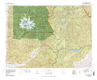 1978 Mount Rainier1978 Print · USGSThe high Cascades and the Yakima backcountry are shown in detail during the late seventies, centered on the glacial peaks and river valleys. Researchers can trace the development of Packwood and Goose Prairie or locate landmarks like the Packwood Landing Strip and Rimrock Lake.2 unique versions available
 - 1988 Map of Goose Prairie
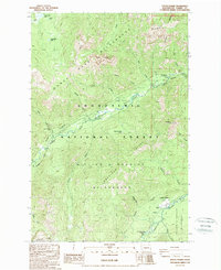 1988 Goose Prairie1988 Print · USGSThe high Cascades of Yakima County come into focus in the late eighties, centered on the river-fed valley of Goose Prairie. Researchers can trace old forest campsites like Pleasant Valley Campground, the location of Graves, and mountain landmarks like Goat Peak.
 - 2000 Map of Goose Prairie, 2001 Print
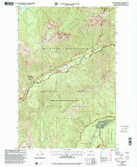 2000 Goose Prairie2001 Print · USGSThe mountain settlement of Goose Prairie and its surrounding wilderness are captured here at the turn of the millennium. Researchers and hikers can locate specific sites like Camp Fife, Pleasant Valley Campground, and the summits of Fifes Peaks.
 - 2011 Map of Goose Prairie, 2011 Print
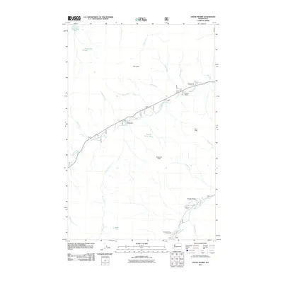 2011 Goose Prairie2011 Print · USGSIn the high Cascades during the early 21st century, this map documents the remote settlements and recreation sites of the Yakima backcountry. Trace the mountain roads to Camp Fife, Goose Prairie, and local landmarks like Union Creek Falls or the Fifes Peaks.
 - 2014 Map of Goose Prairie, 2014 Print
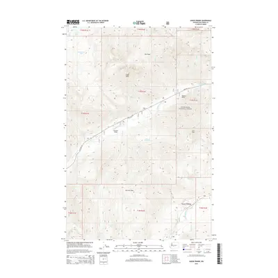 2014 Goose Prairie2014 Print · USGSThe high Cascade wilderness of Yakima County is captured here in the early twenty-first century as it appeared within the Snoqualmie National Forest. Trace the mountain valleys to find the small settlements of Goose Prairie and Pleasant Valley tucked along the American River.
 - 2017 Map of Goose Prairie, 2017 Print
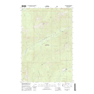 2017 Goose Prairie2017 Print · USGSGoose Prairie and the surrounding Snoqualmie National Forest are captured here in the early twenty-first century. Genealogists and historians can trace the paths of Crow Lake Way and Pleasant Valley Loop, or locate the site of the Richmond Mine.
 - 2020 Map of Goose Prairie, 2020 Print
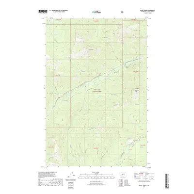 2020 Goose Prairie2020 Print · USGSThe Snoqualmie National Forest in the 2020s remains a high-country wilderness defined by the American River and the small outpost of Goose Prairie. Researchers can trace old mining interest at Richmond Mine and locate natural landmarks like Union Creek Falls and Fifes Peaks.
 - 2023 Map of Goose Prairie, 2023 Print
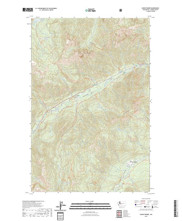 2023 Goose Prairie2023 Print · USGSThe high Cascades of Yakima County are captured here in a period of modern wilderness preservation. Researchers can locate the isolated Goose Prairie settlement and trace historic routes like the Richmond Mine Trl or find the Union Creek Falls.
End of results
Showing maps 1-14 of 14
Frequently asked questions
- What are the different types of historical maps available for Goose Prairie?
- What is the oldest map of Goose Prairie?
- Where can I purchase historical maps of Goose Prairie for my home or office?
- Where can I download high-res historical maps of Goose Prairie?
- Are there historical topographic maps available for Goose Prairie?
- Is there historical aerial imagery available for Goose Prairie?
- Where are historical maps of Goose Prairie sourced from?