2000s (21st Century) Maps of Toppenish, Washington
Explore 10 historic maps of Toppenish from the 2000s (21st Century). These maps offer a rare glimpse into what life looked like during the 2000s — showing old roads, neighborhoods, homes, and landmarks that have changed or disappeared over time.
Whether you're researching your family's past, planning a metal detecting trip, or studying how Toppenish's landscape evolved across the 2000s, these high-resolution maps are a powerful tool for exploring the history of this region.
- Focus on a specific era: All maps on this page are from the 2000s, giving you a focused view of this time period.
- See what’s changed: Compare century-old streets, trails, and buildings to today's modern landscape using overlays and satellite layers.
- Research with precision: Use these maps for genealogy, historical research, land use analysis, or educational projects.
- View, download, or print: Maps are fully viewable online in high resolution, and can be downloaded or printed for your own records.
Start exploring Toppenish's history through authentic maps from the 2000s. This is your window into the past.
Toppenish, WA maps
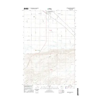
(10)- 2011 Map of Kisumxi Mountain, 2011 Print
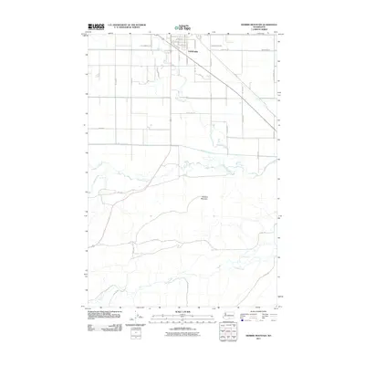 2011 Kisumxi Mountain2011 Print · USGSCovers Toppenish, including Yakima County, United States, and other nearby areas
 - 2011 Map of Toppenish, 2011 Print
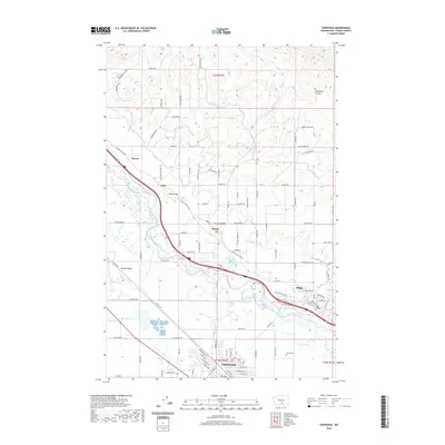
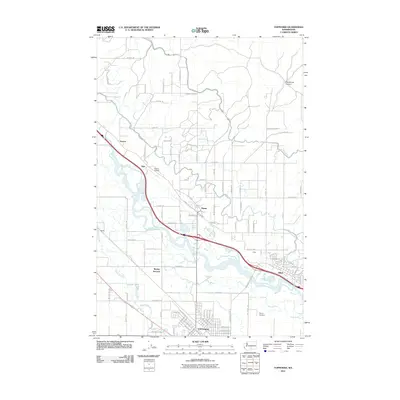 2011 Toppenish2011 Print · USGSCovers Toppenish, including Zillah, Buena, and other nearby areas
 - 2013 Map of Toppenish, 2013 Print
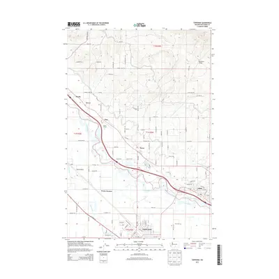 2013 Toppenish2013 Print · USGSCovers Toppenish, including Zillah, Buena, and other nearby areas
 - 2014 Map of Kisumxi Mountain, 2014 Print
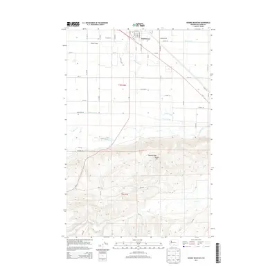 2014 Kisumxi Mountain2014 Print · USGSCovers Toppenish, including Yakima County, United States, and other nearby areas
 - 2017 Map of Toppenish, 2017 Print
 2017 Toppenish2017 Print · USGSCovers Toppenish, including Zillah, Buena, and other nearby areas
 - 2017 Map of Kisumxi Mountain, 2017 Print
 2017 Kisumxi Mountain2017 Print · USGSCovers Toppenish, including Yakima County, United States, and other nearby areas
 - 2020 Map of Kisumxi Mountain, 2020 Print
 2020 Kisumxi Mountain2020 Print · USGSCovers Toppenish, including Yakima County, United States, and other nearby areas
 - 2020 Map of Toppenish, 2020 Print
 2020 Toppenish2020 Print · USGSCovers Toppenish, including Zillah, Buena, and other nearby areas
 - 2023 Map of Toppenish, 2023 Print
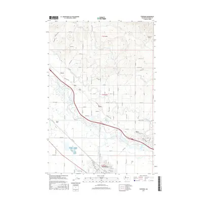
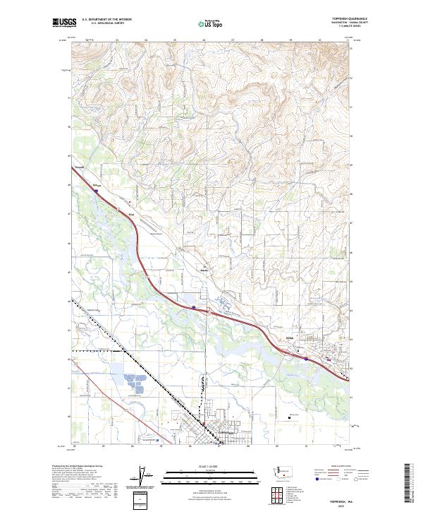 2023 Toppenish2023 Print · USGSYakima County’s agricultural heartland is documented here in the early twenty-first century, centered on the fertile valley between the Yakima River and its upland canyons. Researchers can trace the legacy of irrigation and aviation through the Sunnyside Canal, Buena Airport, and family-named routes like Zickler Rd.
 - 2023 Map of Kisumxi Mountain, 2023 Print
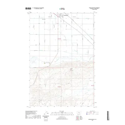
 2023 Kisumxi Mountain2023 Print · USGSThe Yakima Valley meets the high desert in this recent survey of the lands south of Toppenish. Genealogists and historians can locate Elmwood Cem and Winnier Cem or trace the riparian borders of the Toppenish National Wildlife Refuge.
End of results
Showing maps 1-10 of 10
Top cities near Toppenish
- Yakima historical maps
- Union Gap historical maps
- Wapato historical maps
- Moxee historical maps
- Granger historical maps
- Zillah historical maps
See more
Frequently asked questions
- What are the different types of historical maps available for Toppenish?
- What is the oldest map of Toppenish?
- Where can I purchase historical maps of Toppenish for my home or office?
- Where can I download high-res historical maps of Toppenish?
- Are there historical topographic maps available for Toppenish?
- Is there historical aerial imagery available for Toppenish?
- Where are historical maps of Toppenish sourced from?