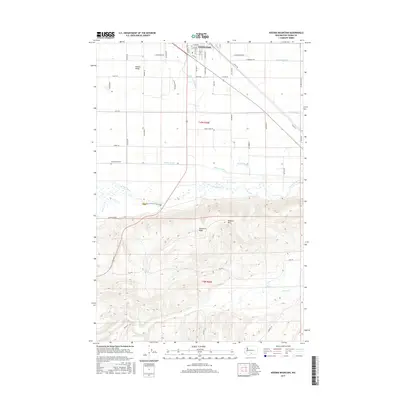
2017 Map of Kisumxi Mountain
USGS Topo · Published 2017About this map
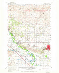
Toppenish sits at the northern edge of this landscape, where the intensive irrigation networks of the Yakima Valley meet the rising slopes of the Yakama Reservation. The map documents a complex system of water management including the Marion Drain, Toppenish Drain, and Parton Drain, which support the agricultural tracts divided by an orderly grid of country roads. South of these fertile lowlands, the terrain shifts abruptly as the Toppenish Ridge climbs toward the summit of Kisumxi Mtn. This geography creates a sharp contrast between the settled valley floor and the high, creek-carved ridges. Waterways such as Wanity Slough and Toppenish Creek meander across the transition zone, while Satus Cr cuts through the deeper canyons of the southern highlands, illustrating the natural drainage patterns that define this part of Washington.
Find a feature on this map
53 named features on this map. Tap any name to fly to it.
Don’t see what you’re looking for? This feature index may not catch every label — zoom into the map to look around manually.
Map Details
Editions of this 2017 Kisumxi Mountain Map
This is the sole edition of this map. No revisions or reprints were ever made.
Other maps of this area

1910 · Zillah
USGS Topo · 1:125,000

1950 · Yakima
USGS Topo · 1:250,000

1958 · Hembre Mtn
USGS Topo · 1:24,000

1958 · Toppenish SW
USGS Topo · 1:24,000
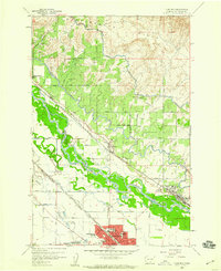
1958 · Toppenish
USGS Topo · 1:24,000
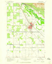
1958 · Wapato
USGS Topo · 1:24,000

1958 · Yakima
USGS Topo · 1:250,000

1961 · Yakima
USGS Topo · 1:250,000
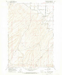
1965 · Bluelight NW
USGS Topo · 1:24,000
1965 · Granger
USGS Topo · 1:62,500