2000s (21st Century) Maps of Clay County, West Virginia
Explore 15 historic maps of Clay County from the 2000s (21st Century). These maps offer a rare glimpse into what life looked like during the 2000s — showing old roads, neighborhoods, homes, and landmarks that have changed or disappeared over time.
Whether you're researching your family's past, planning a metal detecting trip, or studying how Clay County's landscape evolved across the 2000s, these high-resolution maps are a powerful tool for exploring the history of this region.
- Focus on a specific era: All maps on this page are from the 2000s, giving you a focused view of this time period.
- See what’s changed: Compare century-old streets, trails, and buildings to today's modern landscape using overlays and satellite layers.
- Research with precision: Use these maps for genealogy, historical research, land use analysis, or educational projects.
- View, download, or print: Maps are fully viewable online in high resolution, and can be downloaded or printed for your own records.
Start exploring Clay County's history through authentic maps from the 2000s. This is your window into the past.
Clay County, WV maps
(15)- 2023 Map of Rosedale, 2023 Print
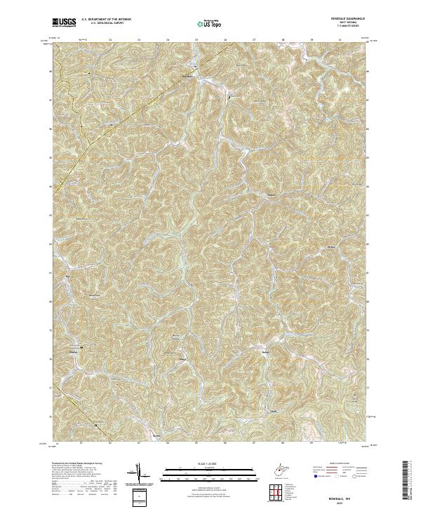 2023 Rosedale2023 Print · USGSBraxton and Gilmer counties are documented here in the early 2020s, showing a landscape of isolated hollows and high ridges. Local historians can locate ancestral sites like the Mollohan Cem, Elmira Baptist Church, and small settlements including Gip and Dessie.
 - 2023 Map of Chloe, 2023 Print
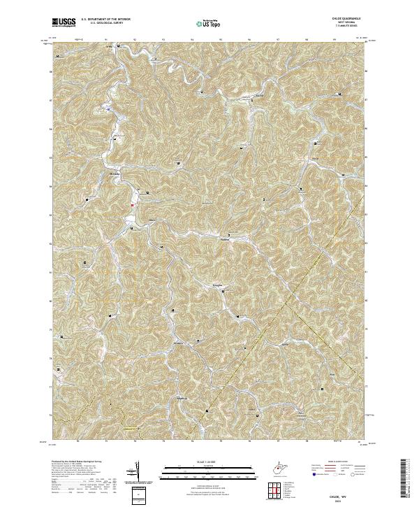 2023 Chloe2023 Print · USGSCalhoun County in the early 2020s remains a landscape of deep hollows and quiet settlements along the West Fork Little Kanawha River. Genealogists and local historians can trace family locations through numerous hilltop burial sites like Mollohan Cem, Booher Cem, and Goodrich Cem.
 - 2023 Map of Mammoth, 2023 Print
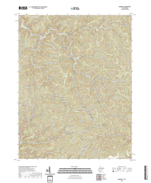 2023 Mammoth2023 Print · USGSKanawha County's rugged ridge-and-hollow terrain is captured here in the early twenty-first century, showing the enduring settlement patterns of West Virginia's coal fields. Researchers can trace local genealogy through named landmarks like Blakeley Cem and family-named hollows such as Goodman Hollow or James Hollow.
 - 2023 Map of Ivydale, 2023 Print
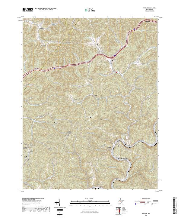 2023 Ivydale2023 Print · USGSCentral West Virginia's rugged creek-bottom settlements and high ridges are shown here in the early 2020s. Genealogists and local historians can trace family locations through numerous sites like Little Laurel Missionary Baptist Church and Murphy Cem.
 - 2023 Map of Clay, 2023 Print
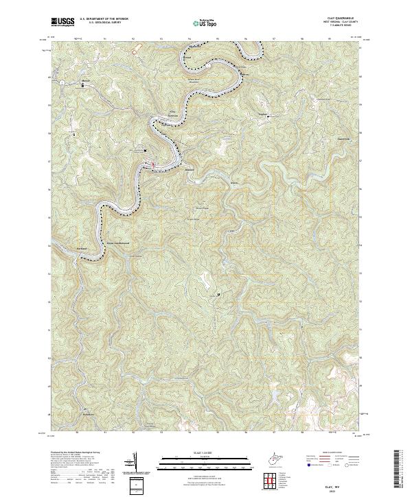 2023 Clay2023 Print · USGSClay and the surrounding Elk River valley are captured in this modern survey of central West Virginia. Family historians can locate numerous family burial grounds like the Reed - Stephenson - Pierson Cem and Woods Cem, or trace the winding Elk River Water Trl.
 - 2023 Map of Elkhurst, 2023 Print
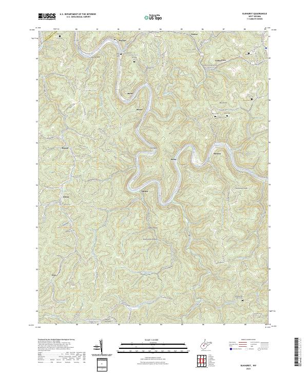 2023 Elkhurst2023 Print · USGSIn the hills of Clay County, the winding Elk River dictates the path of settlement and transport. Genealogists and local historians can trace family roots at Dulls Creek Cem, Samples Cem, and the riverside hamlet of Procious.
 - 2023 Map of Strange Creek, 2023 Print
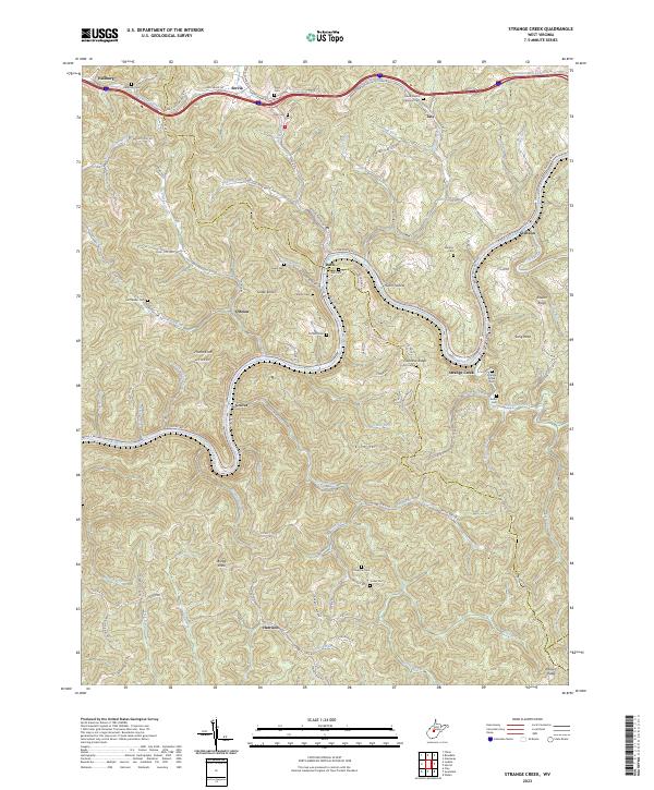 2023 Strange Creek2023 Print · USGSCentral West Virginia's river valleys and ridgelines are shown in detail here in the early twenty-first century. Family historians can locate dozens of burial sites like David Hamric Memorial Cem and trace old routes through Duck, Strange Creek, and Harrison.
 - 2023 Map of Bentree, 2023 Print
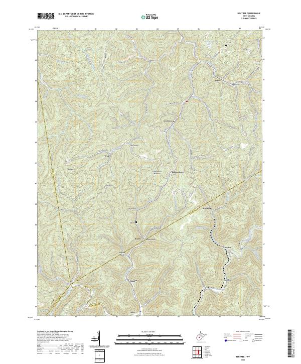 2023 Bentree2023 Print · USGSClay County and the surrounding highlands are depicted here at a moment when traditional hollow life and modern road networks intersect. Genealogists and hikers can trace family names and old paths through Ramp Hollow, Ida Cem, and the winding banks of Twentymile Creek.
 - 2023 Map of Newton, 2023 Print
 2023 Newton2023 Print · USGSRoane County and the surrounding hollows of West Virginia are mapped here in the contemporary era, showing a landscape defined by its creek-side settlements. Local historians can trace family locations at Newton, Wallback, and Pigeon, or locate ancestral sites like Grose Cem and Newton Cem.
 - 2023 Map of Lockwood, 2023 Print
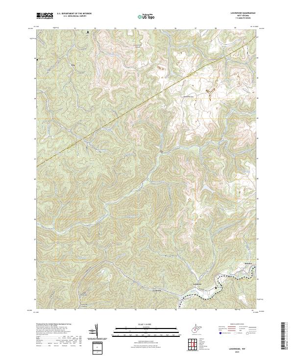 2023 Lockwood2023 Print · USGSThe Nicholas County highlands around the turn of the 21st century remain defined by deep hollows and isolated mountain settlements. Researchers can trace family roots through Sunset Cem or Neil Cem and follow the old Turnpike Rd past Lockwood and Drennen.
 - 2023 Map of Clendenin, 2023 Print
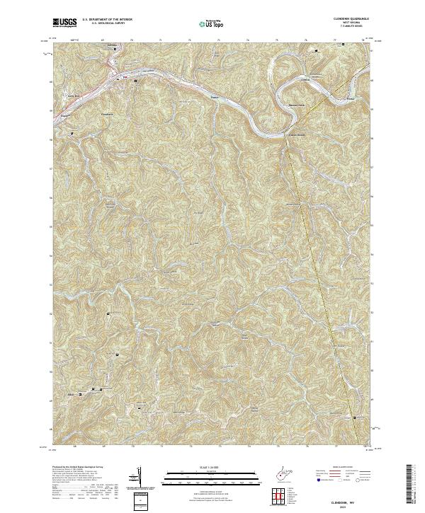 2023 Clendenin2023 Print · USGSThe Elk River valley in Kanawha County is documented here in the early 2020s, showing a landscape of deep hollows and high ridges. Genealogists can trace family locations through numerous sites like O'Dell Cem, Schoolhouse Hollow, and Pilgrim Church.
 - 2023 Map of Gilboa, 2023 Print
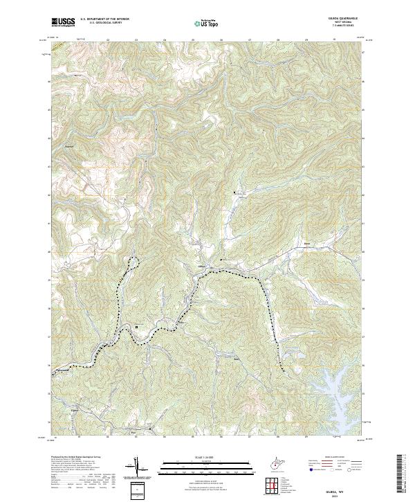 2023 Gilboa2023 Print · USGSNicholas County’s rugged plateau is shown here just as the modern road network weaves between established settlements and the waters of Summersville Lake. Local researchers can trace family roots at Keenan Cem or locate old homestead sites near Zela and Gilboa.
 - 2023 Map of Herold, 2023 Print
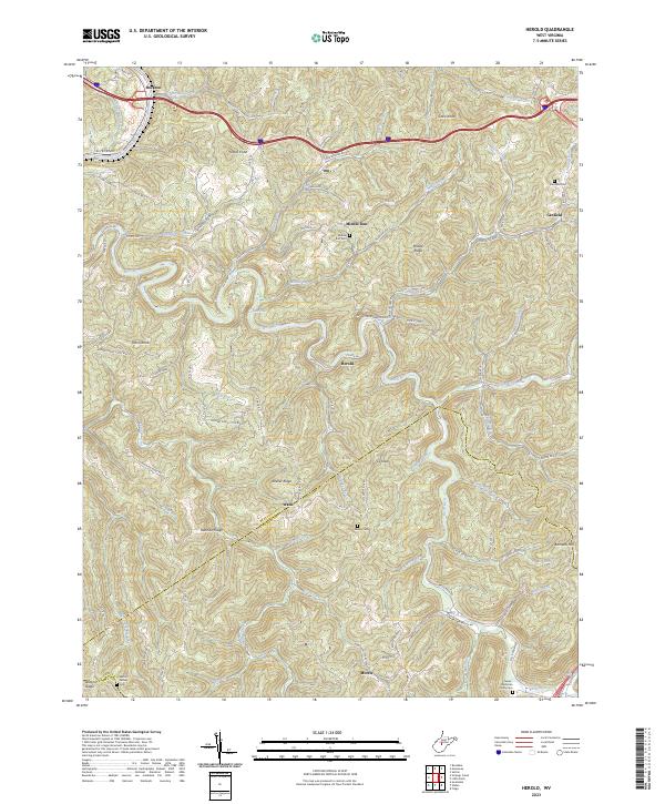 2023 Herold2023 Print · USGSBraxton and Nicholas Counties are shown in the 2020s, where river valleys dictate the layout of high-country settlements. Genealogists can locate several family burial sites like Tinnel-Mollohan Family Cem and the New Hope Church near Morris.
 - 2023 Map of Widen, 2023 Print
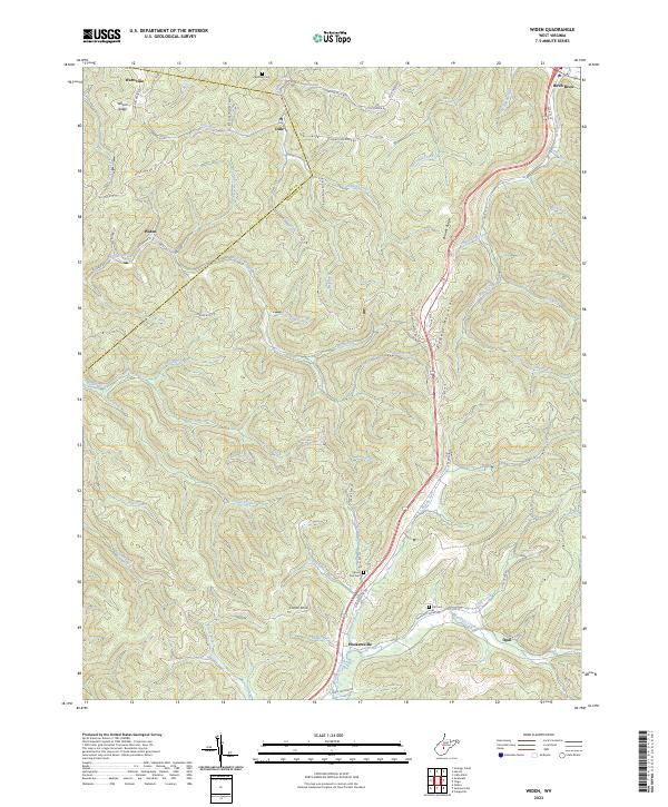 2023 Widen2023 Print · USGSThe Nicholas County highlands are mapped here in the early twenty-first century, showing the remote settlements of Widen and Hookersville. Genealogists can trace family landmarks like Butcher Cem, Spruce Run Cem, and the heights of Powell Mountain.
 - 2023 Map of Swandale, 2023 Print
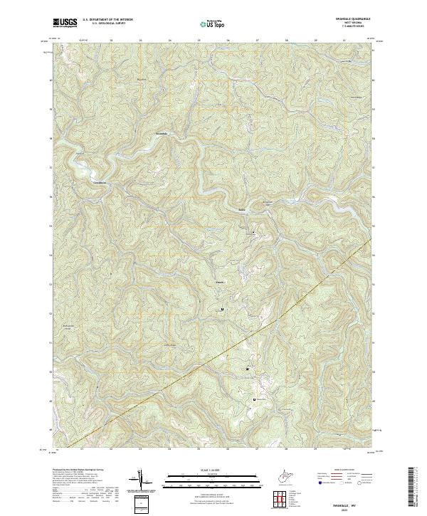 2023 Swandale2023 Print · USGSClay County's interior ridges and hollows are documented here during the early 2020s, showing the enduring layout of the West Virginia highlands. Genealogists can locate several local burial sites like Kyle Cem and Wilson Cem near the communities of Swandale and Enoch.
End of results
Showing maps 1-15 of 15
Top cities of Clay County
Frequently asked questions
- What are the different types of historical maps available for Clay County?
- What is the oldest map of Clay County?
- Where can I purchase historical maps of Clay County for my home or office?
- Where can I download high-res historical maps of Clay County?
- Are there historical topographic maps available for Clay County?
- Is there historical aerial imagery available for Clay County?
- Where are historical maps of Clay County sourced from?