2010s Maps of Clay County, West Virginia
Explore 60 historic maps of Clay County from the 2010s. These maps offer a rare glimpse into what life looked like during the 2010s — showing old roads, neighborhoods, homes, and landmarks that have changed or disappeared over time.
Whether you're researching your family's past, planning a metal detecting trip, or studying how Clay County's landscape evolved across the 2010s, these high-resolution maps are a powerful tool for exploring the history of this region.
- Focus on a specific era: All maps on this page are from the 2010s, giving you a focused view of this time period.
- See what’s changed: Compare century-old streets, trails, and buildings to today's modern landscape using overlays and satellite layers.
- Research with precision: Use these maps for genealogy, historical research, land use analysis, or educational projects.
- View, download, or print: Maps are fully viewable online in high resolution, and can be downloaded or printed for your own records.
Start exploring Clay County's history through authentic maps from the 2010s. This is your window into the past.
Clay County, WV maps
(60)- 2010 Map of Herold, 2010 Print
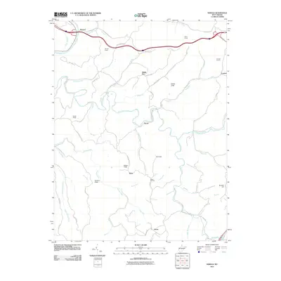 2010 Herold2010 Print · USGSBraxton County’s rugged ridge-and-valley landscape is mapped here in the early twenty-first century, showing the enduring rural layout of the region. Researchers can locate family sites near Canfield Cemetery, the winding Birch River, and small settlements like Herold and Morris.
 - 2010 Map of Widen, 2010 Print
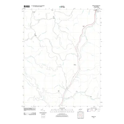 2010 Widen2010 Print · USGSThe rugged coal and timber country of central West Virginia is shown here in the early 2000s, centered on the community of Widen. Researchers can trace local lineage through Butcher Cemetery or locate the historic Dille Post Office and Wattsville.
 - 2010 Map of Strange Creek, 2010 Print
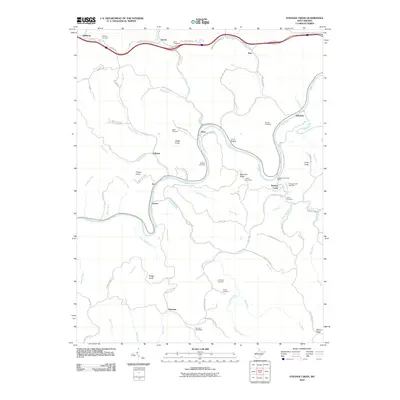 2010 Strange Creek2010 Print · USGSClay County at the start of the 2010s is a landscape of high ridges and deep river valleys defined by the winding Elk River. Genealogists and historians can trace numerous family burial sites and rural post offices, from the Strange Creek Post Office to the Hallburg Cemetery and Snake Knob.
 - 2011 Map of Bentree, 2011 Print
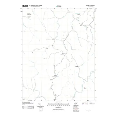 2011 Bentree2011 Print · USGSIn the central West Virginia mountains during the early twenty-first century, this area shows a landscape of ridge-top settlements and deep hollows. Researchers can locate small communities like Adonijah, Cambria, and Dixie, as well as family landmarks including the Holcomb Cemetery and Ida Cemetery.
 - 2011 Map of Mammoth, 2011 Print
 2011 Mammoth2011 Print · USGSKanawha County’s creek-bottom settlements and winding hollows are documented here during the early twenty-first century. Genealogists and local historians can trace family land and community hubs from Mammoth and Kendalia to the Pond Gap Post Office.
 - 2011 Map of Clendenin, 2011 Print
 2011 Clendenin2011 Print · USGSThe Elk River valley near Clendenin appears here in the early 21st century, showing a landscape defined by its deep hollows and riverfront hamlets. Local historians and genealogists can pinpoint specific family landmarks like Osborne Cemetery and the Corton Post Office.
 - 2011 Map of Lockwood, 2011 Print
 2011 Lockwood2011 Print · USGSNear the Clay and Nicholas county line in the early 2010s, this area shows a landscape defined by narrow hollows and small mining communities. Genealogists and local historians can trace the roads and waterways around Fola, Lockwood, and the Legg Road-Legg Mine.
 - 2011 Map of Chloe, 2011 Print
 2011 Chloe2011 Print · USGSCalhoun County’s river valleys and mountain hollows are shown in detail during the early twenty-first century. Genealogists can trace family roots through dozens of local burial sites like Cooper Cemetery and Clark Jarvis Cemetery or locate old post offices in Minnora and Nebo.
 - 2011 Map of Clay, 2011 Print
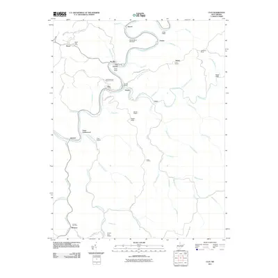 2011 Clay2011 Print · USGSClay County at the start of the 2010s shows a landscape deeply shaped by the winding Elk River and a legacy of mining. Researchers can locate family names and old crossroads at the Reed-Stephenson-Pierson Cemetery, Maysel Post Office, and Cannel Coal Hollow.
 - 2011 Map of Elkhurst, 2011 Print
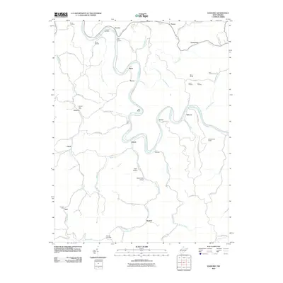 2011 Elkhurst2011 Print · USGSThe Elk River valley in Clay County is captured here in the early twenty-first century, showing the persistence of rural West Virginia communities. Genealogists can trace family landmarks and burial sites including White Cemetery, Davis Cemetery, and the Procious Post Office.
 - 2011 Map of Ivydale, 2011 Print
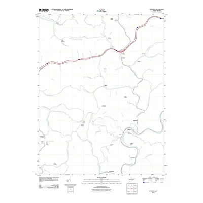 2011 Ivydale2011 Print · USGSThe Elk River valley in the early twenty-first century reveals a landscape of enduring rural settlements and family landmarks. Researchers can trace the heritage of small communities like Ivydale and Kidtown or locate the Big Otter Post Office and Murphy Cemetery.
 - 2011 Map of Newton, 2011 Print
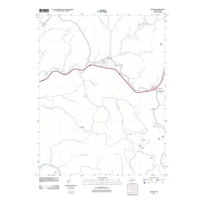 2011 Newton2011 Print · USGSClay County at the start of the 2010s remains a landscape of tightly clustered valley settlements and upland cemeteries. Genealogists can trace family heritage through burial sites like Phillips Cemetery and historic rural hubs such as the Left Hand Post Office.
 - 2011 Map of Swandale, 2011 Print
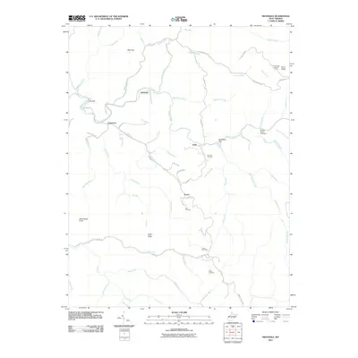 2011 Swandale2011 Print · USGSClay County's creek valleys and high ridges are captured here during the early twenty-first century. Genealogists and local researchers can trace family landmarks like Kyle Cemetery and Acree Cemetery or locate the site of the Pond Ridge Lookout Tower.
 - 2011 Map of Gilboa, 2011 Print
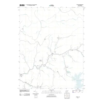 2011 Gilboa2011 Print · USGSNicholas County settlements and rural post offices are preserved here as they appeared in the early 21st century. Researchers can locate family landmarks like Keenan Cemetery and historic local hubs such as Gilboa Post Office or the Lone Star Lookout Tower.
 - 2011 Map of Rosedale, 2011 Print
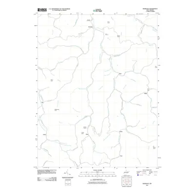 2011 Rosedale2011 Print · USGSBraxton County’s rural highlands appear in great detail at the start of the 2010s. Genealogists and local researchers can trace the roads connecting Rosedale, Tague, and Dessie, or locate landmarks like the Bourn Cemetery and Rattlesnake Knob.
 - 2014 Map of Strange Creek, 2014 Print
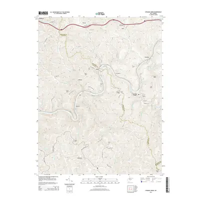 2014 Strange Creek2014 Print · USGSClay and Braxton Counties are shown here during the early twenty-first century, centered on the winding corridor of the Elk River. Genealogists and local historians can locate numerous family burial sites, including the Goad Cem, Turner Cem, and Point Cem near Servia.
 - 2014 Map of Swandale, 2014 Print
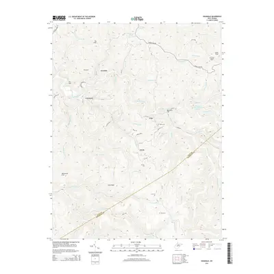 2014 Swandale2014 Print · USGSThe Clay and Nicholas County line is documented here in the mid-2010s, showing a rugged landscape shaped by coal-country industry and small mountain communities. Researchers can locate family burial sites at Kyle Cem or Wilson Cem and trace old routes near Swandale and Cressmont.
 - 2014 Map of Rosedale, 2014 Print
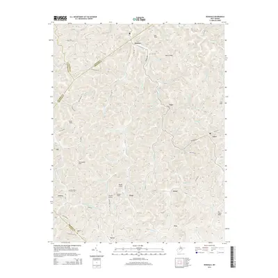 2014 Rosedale2014 Print · USGSBraxton County and its surrounding borders are shown here in the early twenty-first century, mapping the deep hollows and ridges of central West Virginia. Researchers can trace ancestral locations in Rosedale and Tague, or locate family burial plots at Mollohan Cem and Bourn Cem.
 - 2014 Map of Widen, 2014 Print
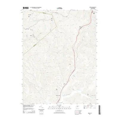 2014 Widen2014 Print · USGSCentral West Virginia's coal and timber country is shown here in the early twenty-first century as it spans the Nicholas and Clay County line. Researchers can trace family sites and remote settlements like Widen, Hookersville, and Opal, alongside local landmarks like Spruce Run Cemetery.
 - 2014 Map of Gilboa, 2014 Print
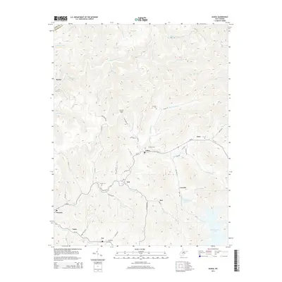 2014 Gilboa2014 Print · USGSNicholas County settlements and high-ridge lookouts define this rural landscape during the early twenty-first century. Genealogists and local researchers can locate family sites like Keenan Cem and Bethel Cem or trace the winding course of WV-39 through Gilboa and Zela.
 - 2014 Map of Herold, 2014 Print
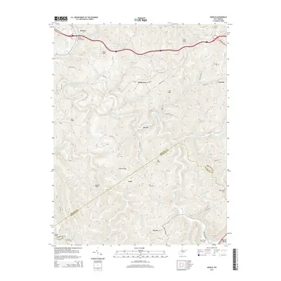 2014 Herold2014 Print · USGSThe rural ridges along the Braxton and Nicholas county line are captured here in the early twenty-first century. Researchers can trace family history through numerous burial grounds like Tinnel/Mollohan Family Cem and Walker Cem or follow the path of the Birch River through Herold.
 - 2014 Map of Clay, 2014 Print
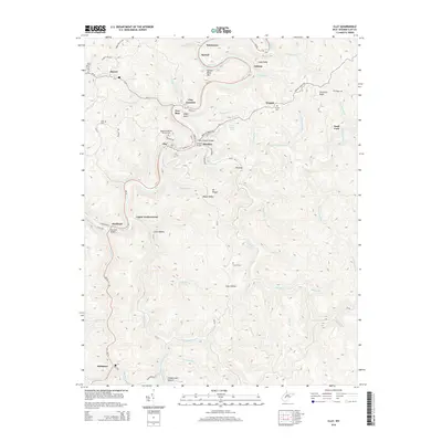 2014 Clay2014 Print · USGSThe Elk River valley in central West Virginia is shown here during the early twenty-first century, as it winds past the county seat and neighboring hamlets. Genealogists can locate several family burial sites including Reed-Stephenson Pierson Cem and King Cem near Maysel.
 - 2014 Map of Ivydale, 2014 Print
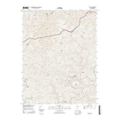 2014 Ivydale2014 Print · USGSClay and Roane counties are shown here as they appeared in 2014, defined by the winding Elk River and a deep network of hollows. Local historians can trace family roots through numerous sites like Little Laurel Cem, Cherrytree Cem, and the settlement at Big Otter.
 - 2014 Map of Chloe, 2014 Print
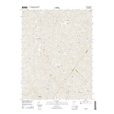 2014 Chloe2014 Print · USGSCalhoun County's river valleys and steep hollows are shown in detail during the early twenty-first century, centered on the community of Chloe. Researchers can trace decades of family history through numerous burial sites like Chenowith Reip Cem and Bailey Siers Cem.
 - 2014 Map of Mammoth, 2014 Print
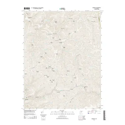 2014 Mammoth2014 Print · USGSThe coal and creek valleys of Kanawha County are shown here in the early twenty-first century, before many smaller settlements shifted. Researchers can locate family landmarks like Blakley Cem and trace the paths of Kellys Cr through Mammoth and Hitop.
Showing maps 1-25 of 60
Top cities of Clay County
Frequently asked questions
- What are the different types of historical maps available for Clay County?
- What is the oldest map of Clay County?
- Where can I purchase historical maps of Clay County for my home or office?
- Where can I download high-res historical maps of Clay County?
- Are there historical topographic maps available for Clay County?
- Is there historical aerial imagery available for Clay County?
- Where are historical maps of Clay County sourced from?