Old Maps of Fola, West Virginia for Academic Research
Study the evolution of Fola with 17 high-resolution historic maps. Whether you're teaching, researching, or modeling changes in land use, these maps provide essential visual documentation of urban, environmental, and geographic change.
- Analyze long-term change: Track patterns in development, transportation, and natural features.
- Ideal for environmental or urban studies: Support academic projects with primary historical map data.
- Use in the classroom or lab: Educators and researchers rely on these maps to bring historical context to life.
These maps are a powerful tool for teaching, research, and visualizing how Fola has changed over the decades.
Fola, WV maps
(17)- 1897 Map of Kanawha Falls
 1897 Kanawha Falls1897 Print · USGSWest Virginia's river valleys and burgeoning industrial corridors are captured here in the late nineteenth century. You can trace the early rail networks and riverside settlements such as Montgomery, Clendenin, and the river engineering at Lock 2.
 - 1900 Map of Kanawha Falls
 1900 Kanawha Falls1900 Print · USGSThe Kanawha and Elk rivers converge here at the turn of the century as the coal and rail industries were rapidly transforming the West Virginia landscape. Genealogists and historians can trace riverside settlements like Montgomery and Coalburg or follow the paths of the Chesapeake and Ohio RR and early river navigation at Lock 2.
 - 1901 Map of Kanawha Falls
 1901 Kanawha Falls1901 Print · USGSWest Virginia's coal and rail heartland is captured here at the end of the nineteenth century, as river navigation and railroads transformed the Kanawha Valley. Genealogists and historians can trace the early footprints of Montgomery, find family sites near Kanawha Falls, and locate landmarks like Hawks Nest or Powellton.3 unique versions available
 - 1908 Map of Clay
 1908 Clay1908 Print · USGSThe river and rail network of central West Virginia dominates this territory at the start of the century. Trace early Appalachian settlement patterns through the COAL AND COKE RR and rural landmarks like Rosetta School and Big Sycamore Eldorado PO.2 unique versions available
 - 1910 Map of Clay
 1910 Clay1910 Print · USGSWest Virginia's coal and timber country comes alive in this survey of the Elk River valley just after the turn of the century. Genealogists and historians can trace the early rail networks of the Coke and Coke RR and locate vanished rural hubs like Yankee Dam PO and Triplett School.3 unique versions available
 - 1954 Map of Charleston
 1954 Charleston1954 Print · USGSWest Virginia’s industrial heart and mountain highlands are captured here during the mid-fifties, centered on the capital city. Researchers can trace historic river-and-rail corridors along the Kanawha River and locate remote peaks within the Monongahela National Forest.
 - 1957 Map of Charleston, 1966 Print
 1957 Charleston1966 Print · USGSMid-century West Virginia unfolds along the industrial Kanawha River valley and into the high Allegheny Mountains. Genealogists and historians can trace the vital rail lines of the Chesapeake and Ohio and locate riverside settlements from Saint Albans to Buckhannon.3 unique versions available
 - 1958 Map of Charleston
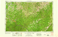 1958 Charleston1958 Print · USGSMid-century West Virginia is defined here by the industrial corridor of the Kanawha River and the high ridges of the Allegheny Mountains. Researchers can trace the rail networks of the New York Central or locate remote highland communities like Pickens and Hillsboro.
 - 1961 Map of Charleston
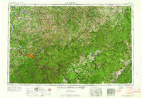 1961 Charleston1961 Print · USGSWest Virginia's capital region and the highlands to the east are shown in detail during the early sixties. Genealogists and historians can trace rail networks like the Baltimore and Ohio RR and find early state parks such as Watoga State Park.
 - 1967 Map of Lockwood, 1968 Print
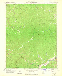 1967 Lockwood1968 Print · USGSNicholas County at the end of the 1960s shows a landscape shaped by coal extraction and the Penn Central railroad. Genealogists and local historians can trace the foundations of Lockwood, Fola, and Lyonsville, alongside rural landmarks like the Otter Creek Sch.2 unique versions available
 - 1984 Map of Charleston
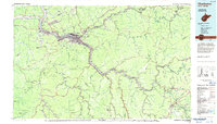 1984 Charleston1984 Print · USGSWest Virginia's capital and the industrial Kanawha Valley are shown here in the mid-eighties as modern interstates began to reshape the region. Local researchers can locate family-named landmarks like Reamer (Sybial PO) and institutional anchors like West Virginia State College.2 unique versions available
 - 1996 Map of Lockwood, 2002 Print
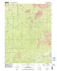 1996 Lockwood2002 Print · USGSThe Nicholas and Clay county borderlands in the 1990s are defined by deep Appalachian valleys and an active extraction economy. Genealogists and historians can trace local landmarks like Lyonsville, the Otter Creek Sch, and the Twentymile Ch among the timbered hills.
 - 2011 Map of Lockwood, 2011 Print
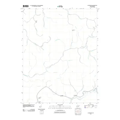 2011 Lockwood2011 Print · USGSNear the Clay and Nicholas county line in the early 2010s, this area shows a landscape defined by narrow hollows and small mining communities. Genealogists and local historians can trace the roads and waterways around Fola, Lockwood, and the Legg Road-Legg Mine.
 - 2014 Map of Lockwood, 2014 Print
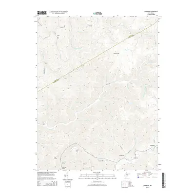 2014 Lockwood2014 Print · USGSThe Clay and Nicholas County borderlands are documented here in the mid-2010s, showing the intersection of deep hollows and high ridges. Genealogy researchers and local historians can trace family sites like the Neil Cem or small communities such as Fola, Lyonsville, and Lockwood.
 - 2016 Map of Lockwood, 2016 Print
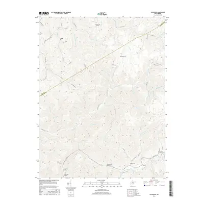 2016 Lockwood2016 Print · USGSClay and Nicholas counties meet in this rugged West Virginia landscape during the mid-2010s. Genealogists and local historians can trace the rural road networks connecting Fola, Lockwood, and Drennen while locating family sites like Holcomb Cem and Neil Cem.
 - 2019 Map of Lockwood, 2019 Print
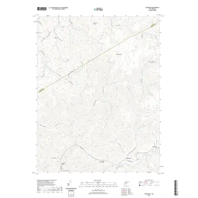 2019 Lockwood2019 Print · USGSThe borderlands of Clay and Nicholas Counties come alive in this recent survey of the central West Virginia hills. Researchers can locate family landmarks like Holcomb Cem and Neil Cem or trace the route of the historic Turnpike Rd through Lockwood.
 - 2023 Map of Lockwood, 2023 Print
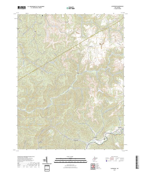 2023 Lockwood2023 Print · USGSThe Nicholas County highlands around the turn of the 21st century remain defined by deep hollows and isolated mountain settlements. Researchers can trace family roots through Sunset Cem or Neil Cem and follow the old Turnpike Rd past Lockwood and Drennen.
End of results
Showing maps 1-17 of 17
Top cities near Fola
- Montgomery historical maps
- Ansted historical maps
- Gauley Bridge historical maps
- Boomer historical maps
- Clay historical maps
- Powellton historical maps
See more
Frequently asked questions
- What are the different types of historical maps available for Fola?
- What is the oldest map of Fola?
- Where can I purchase historical maps of Fola for my home or office?
- Where can I download high-res historical maps of Fola?
- Are there historical topographic maps available for Fola?
- Is there historical aerial imagery available for Fola?
- Where are historical maps of Fola sourced from?