2020s Maps of Grant County, West Virginia
Explore 17 historic maps of Grant County from the 2020s. These maps offer a rare glimpse into what life looked like during the 2020s — showing old roads, neighborhoods, homes, and landmarks that have changed or disappeared over time.
Whether you're researching your family's past, planning a metal detecting trip, or studying how Grant County's landscape evolved across the 2020s, these high-resolution maps are a powerful tool for exploring the history of this region.
- Focus on a specific era: All maps on this page are from the 2020s, giving you a focused view of this time period.
- See what’s changed: Compare century-old streets, trails, and buildings to today's modern landscape using overlays and satellite layers.
- Research with precision: Use these maps for genealogy, historical research, land use analysis, or educational projects.
- View, download, or print: Maps are fully viewable online in high resolution, and can be downloaded or printed for your own records.
Start exploring Grant County's history through authentic maps from the 2020s. This is your window into the past.
Grant County, WV maps
(17)- 2023 Map of Table Rock, 2023 Print
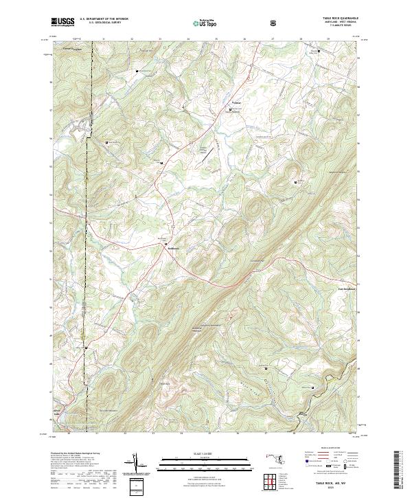 2023 Table Rock2023 Print · USGSThe high Allegheny plateau comes to life in this contemporary survey of the Maryland and West Virginia borderlands. Local historians can trace family plots at Nine Family Cem and Red House Cem or explore the mountain settlements of Redhouse and Gortner.
 - 2023 Map of Gorman, 2023 Print
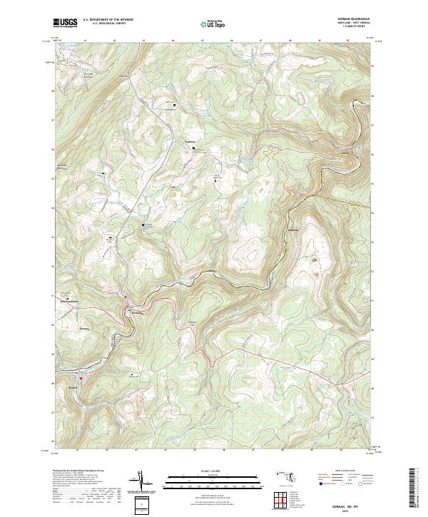 2023 Gorman2023 Print · USGSThe Potomac highlands come alive in this survey of the river-border communities between Maryland and West Virginia. Genealogists can trace family-named sites like Harvey-Wilson Cem and the small settlements of Gormania and Steyer.
 - 2023 Map of Petersburg West, 2023 Print
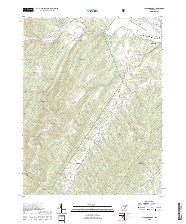 2023 Petersburg West2023 Print · USGSThe West Virginia highlands near the Grant and Pendleton county line come to life in this recent survey. Genealogists and local historians can trace family roots at the Alt Cem or Bible Family Cem, while following the winding course of North Mill Creek.
 - 2023 Map of Maysville, 2023 Print
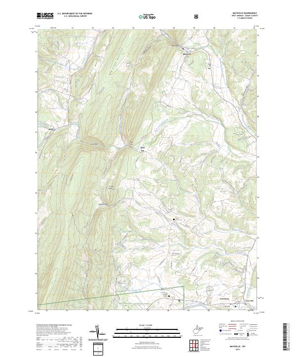 2023 Maysville2023 Print · USGSGrant County is shown in modern detail where the mountains of the Monongahela National Forest meet the Potomac. Researchers can locate the historic Hebron Cem and trace early road networks through Kline Gap and Real Gap.
 - 2023 Map of Mount Storm, 2023 Print
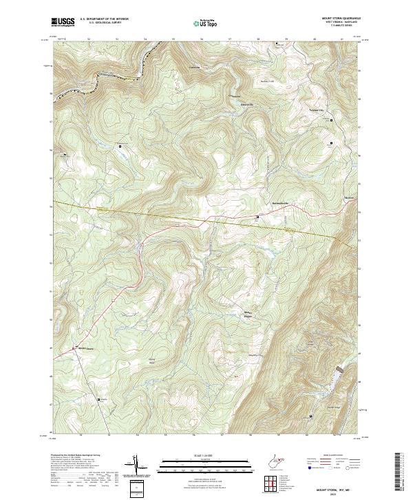 2023 Mount Storm2023 Print · USGSThe Potomac headwaters and the steep rise of the Allegheny Front define this corner of West Virginia. Researchers can trace family history through a network of small burial grounds like Murphy Cem and Evans Cem near the mountain community of Mount Storm.
 - 2023 Map of Greenland Gap, 2023 Print
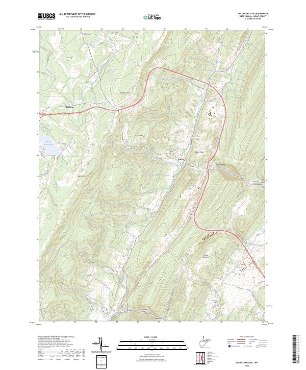 2023 Greenland Gap2023 Print · USGSGrant County’s mountain ridges and high-altitude lakes are documented in this 2023 survey of the West Virginia highlands. Genealogists and local historians can trace the paths between Bismarck, the Brick Church, and the distinctive cut of the Greenland Gap.
 - 2023 Map of Davis, 2023 Print
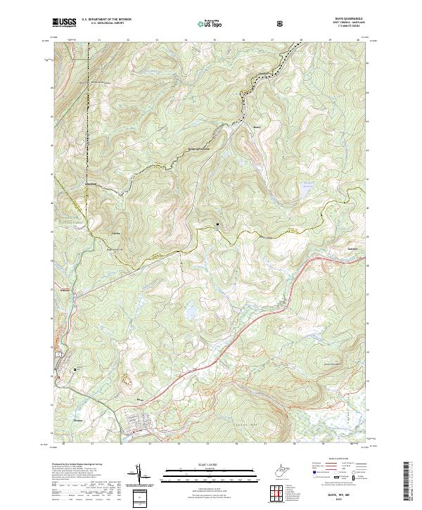 2023 Davis2023 Print · USGSDavis and Thomas sit at the center of this mountain landscape as it appeared in the early 2020s. Trace the high ridges of Backbone Mountain and find family heritage at the Knotts Family Cem or along the banks of the Blackwater River.
 - 2023 Map of Rig, 2023 Print
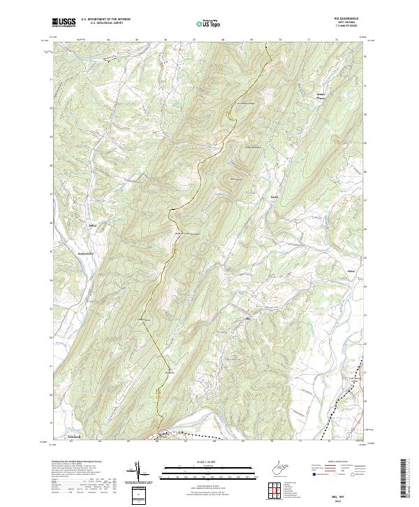 2023 Rig2023 Print · USGSThe Hardy and Grant County borderlands are documented here in recent years, showing a landscape shaped by the ridge of Patterson Creek Mountain. Researchers can trace old family settlements and landmarks like Walnut Bottom, Kessel, and the namesake community of Rig.
 - 2023 Map of Blackbird Knob, 2023 Print
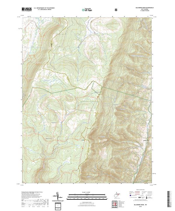 2023 Blackbird Knob2023 Print · USGSGrant County's high-elevation plateau and the Dolly Sods highlands are captured in this modern survey. Hikers and local historians can trace the extensive trail system near Blackbird Knob, the winding Stony River, and the remote settlement of Jordan Run.
 - 2023 Map of Antioch, 2023 Print
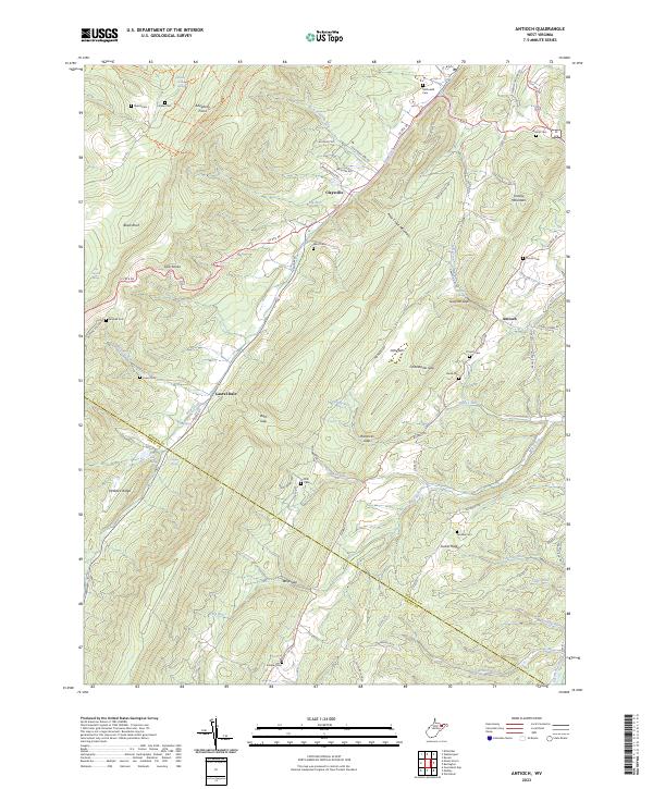 2023 Antioch2023 Print · USGSMineral County in the early 2020s is defined by its deep ridge-and-valley topography and small mountain crossroads. Genealogists can locate family landmarks like Ward Cem, Thrush Cem, and the old settlement at Laurel Dale.
 - 2023 Map of Medley, 2023 Print
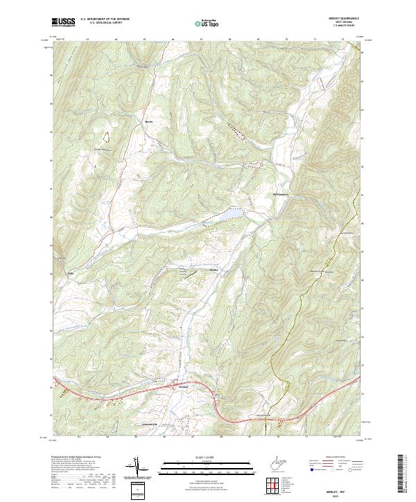 2023 Medley2023 Print · USGSGrant County is captured in this recent survey, showcasing a landscape of high ridges and deep valley settlements. Researchers can trace family ties and landmarks from the Popular School to rural centers like Medley and Lahmansville.
 - 2023 Map of Old Fields, 2023 Print
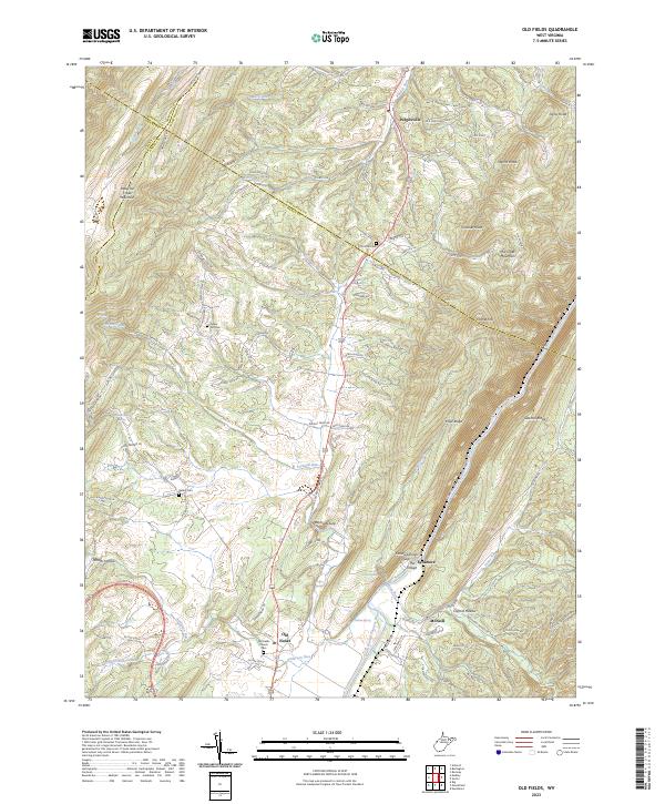 2023 Old Fields2023 Print · USGSThe Potomac Highlands south of Purgitsville are captured in this modern survey of the river valley. Genealogists and hikers can locate several burial grounds including Old Pine Cem and landmarks like The Sycamore and Old Fields Church.
 - 2023 Map of Mozer, 2023 Print
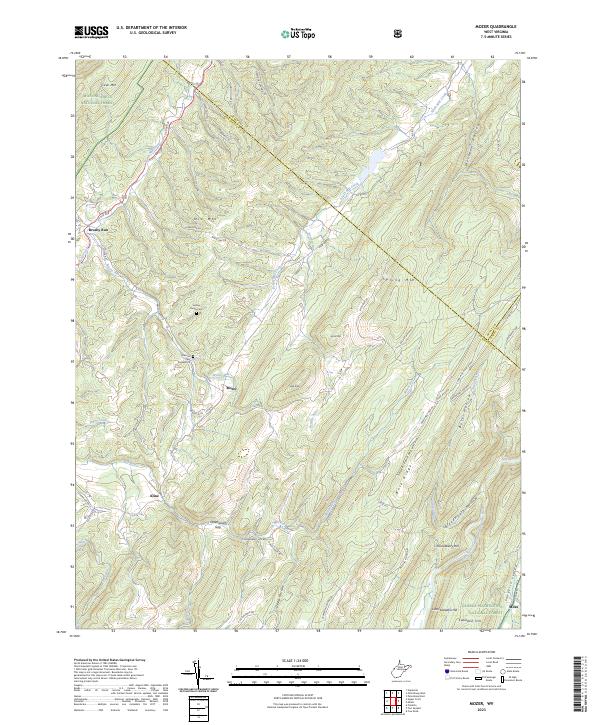 2023 Mozer2023 Print · USGSPendleton County's high ridges and narrow valleys are documented here in the early twenty-first century. Local historians can trace family locations near the Hulvey Family Cem and the small settlements of Mozer and Brushy Run.
 - 2023 Map of Hopeville, 2023 Print
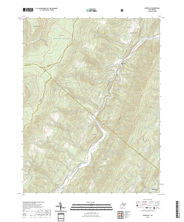 2023 Hopeville2023 Print · USGSThe West Virginia highlands are documented here at the intersection of four counties and the Dolly Sods Wilderness. Local historians can trace the paths between Hopeville and Ketterman or locate landmarks like Trout Rocks Spring and the Allegheny Front.
 - 2023 Map of Petersburg East, 2023 Print
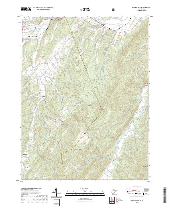 2023 Petersburg East2023 Print · USGSThe Hardy and Grant county line area in the early 2020s shows a landscape of river-gap crossings and high mountain ridges. Researchers can locate small communities like Masonville and Durgon or find family landmarks such as Baker Hollow and Elkhorn Rock.
 - 2023 Map of Milam, 2023 Print
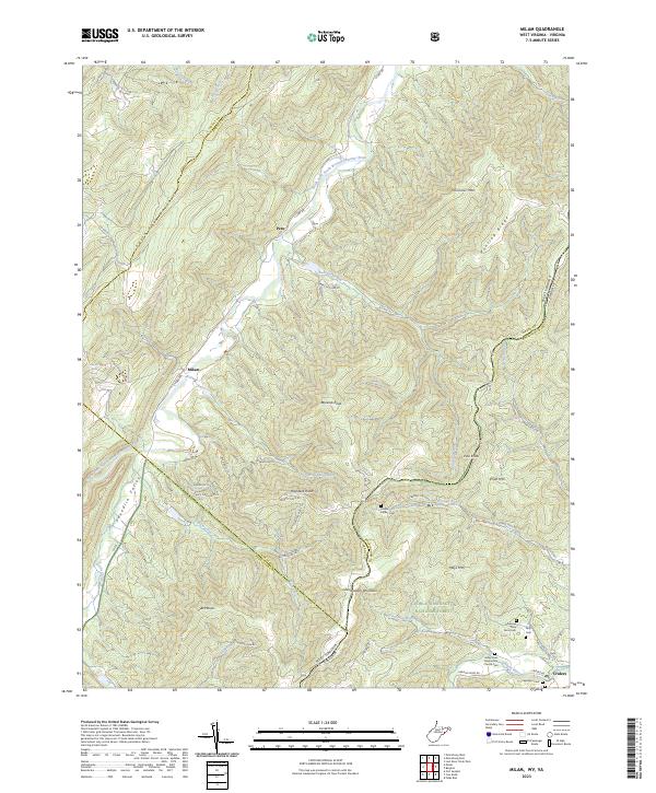 2023 Milam2023 Print · USGSHardy County and the West Virginia-Virginia borderlands are captured here in recent years, showing the high ridges of the Potomac Highlands. Genealogists can locate several family burial sites like George May Farm Cem and landmarks such as the Valley View Mennonite Church.
 - 2023 Map of Mount Storm Lake, 2023 Print
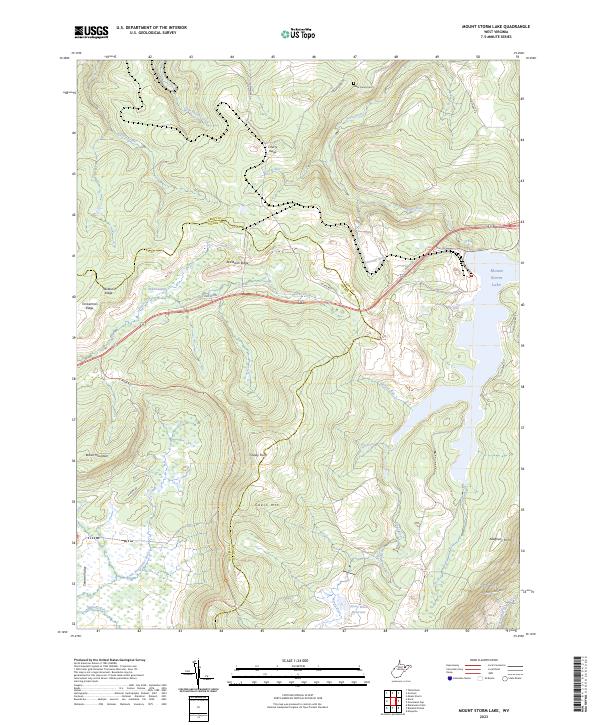 2023 Mount Storm Lake2023 Print · USGSHigh-elevation reservoirs and the steep topography of the Allegheny Front characterize this West Virginia mountain landscape in the 2020s. Researchers can trace family history at the Baker Family Cem or locate geographical landmarks like the Stony River Dam and Elder Swamp.
End of results
Showing maps 1-17 of 17
Top cities of Grant County
Frequently asked questions
- What are the different types of historical maps available for Grant County?
- What is the oldest map of Grant County?
- Where can I purchase historical maps of Grant County for my home or office?
- Where can I download high-res historical maps of Grant County?
- Are there historical topographic maps available for Grant County?
- Is there historical aerial imagery available for Grant County?
- Where are historical maps of Grant County sourced from?