2010s Maps of Jackson County, West Virginia
Explore 64 historic maps of Jackson County from the 2010s. These maps offer a rare glimpse into what life looked like during the 2010s — showing old roads, neighborhoods, homes, and landmarks that have changed or disappeared over time.
Whether you're researching your family's past, planning a metal detecting trip, or studying how Jackson County's landscape evolved across the 2010s, these high-resolution maps are a powerful tool for exploring the history of this region.
- Focus on a specific era: All maps on this page are from the 2010s, giving you a focused view of this time period.
- See what’s changed: Compare century-old streets, trails, and buildings to today's modern landscape using overlays and satellite layers.
- Research with precision: Use these maps for genealogy, historical research, land use analysis, or educational projects.
- View, download, or print: Maps are fully viewable online in high resolution, and can be downloaded or printed for your own records.
Start exploring Jackson County's history through authentic maps from the 2010s. This is your window into the past.
Jackson County, WV maps
(64)- 2010 Map of Portland, 2010 Print
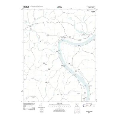 2010 Portland2010 Print · USGSThe Ohio River valley at the turn of the twenty-first century reveals a landscape of enduring river landings and upland ridges. Genealogists can trace family names at the Laucks Chapel Cemetery or explore the area surrounding Long Bottom and Portland.
 - 2010 Map of Pond Creek, 2010 Print
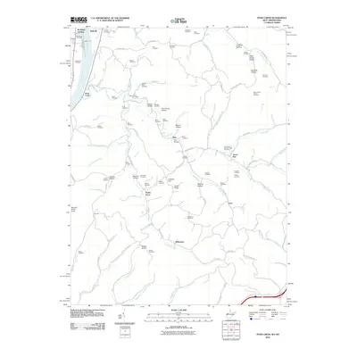 2010 Pond Creek2010 Print · USGSThe West Virginia riverfront near Belleville and Randolph Landing is shown here in the early twenty-first century. Researchers can locate dozens of family burial sites like Isabelle Flinn and Sellers Cemetery along the ridges of Jerrys Run and Pond Creek.
 - 2010 Map of Rockport, 2010 Print
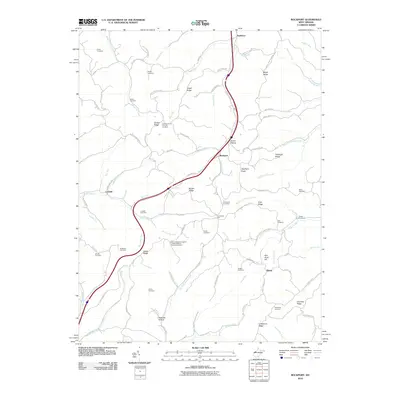 2010 Rockport2010 Print · USGSWood County at the turn of the millennium reveals a landscape of deep-rooted rural communities and family legacies. Genealogists and local researchers can trace historic land use through numerous sites like the Gant Cemetery, Nicholas Hollow, and the settlement of Rockport.
 - 2011 Map of Kenna, 2011 Print
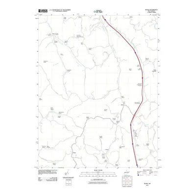 2011 Kenna2011 Print · USGSThe West Virginia hill country around the Kenna quadrangle is shown here in the early twenty-first century, featuring a landscape of family farms and small rural junctions. Genealogists can locate specific burial grounds like Webster Cemetery or trace landmarks such as Kenna Post Office and Emma.
 - 2011 Map of Sandyville, 2011 Print
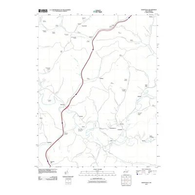 2011 Sandyville2011 Print · USGSSandyville and the rural reaches of Jackson County are shown in the early twenty-first century as modern transit corridors meet deep-seated local history. Genealogists and researchers can locate numerous family burial grounds like Derenburger Cemetery and historic landmarks such as the Sarvis Fork Covered Bridge.
 - 2011 Map of Ravenswood, 2011 Print
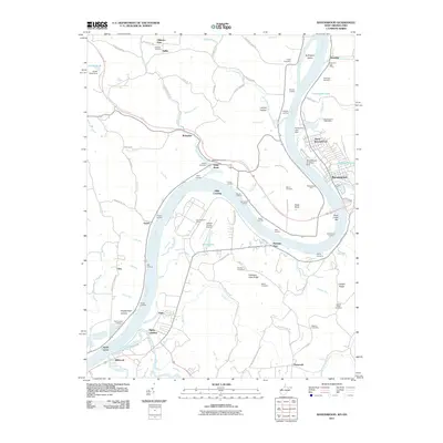 2011 Ravenswood2011 Print · USGSThe West Virginia riverfront comes into focus in this modern record of the Ohio River valley. Researchers can trace decades of family history and industrial growth through sites like Ravenswood Works, Ottobine Cemetery, and the Ravenswood Ferry.
 - 2011 Map of Sissonville, 2011 Print
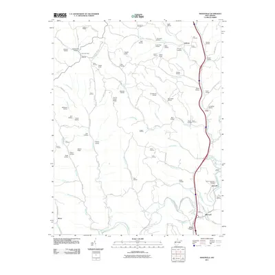 2011 Sissonville2011 Print · USGSThe Pocatalico River valley comes into focus in this recent look at a West Virginia landscape defined by its ridges and hollows. Researchers can locate numerous family burial sites like Boggess Cemetery and trace the rural layouts of Liberty and White Chapel.
 - 2011 Map of Liverpool, 2011 Print
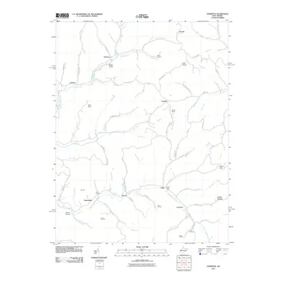 2011 Liverpool2011 Print · USGSJackson County rural life is captured here in the early twenty-first century, centered on the Right Fork Sandy Creek valley. Trace family history through numerous burial grounds like Buck Cemetery and Gridley Cemetery, or locate old post offices and hubs like Leroy.
 - 2011 Map of Cottageville, 2011 Print
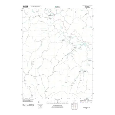 2011 Cottageville2011 Print · USGSJackson County settlement and family genealogy are well-documented in this early twenty-first-century survey of the Mill Creek watershed. Researchers can trace ancestral roots through more than a dozen local sites, including Blaine Memorial Cemetery, Salem Cemetery, and King Cemetery.
 - 2011 Map of Gay, 2011 Print
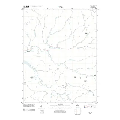 2011 Gay2011 Print · USGSRoane County, West Virginia, is shown here in the early twenty-first century, a landscape defined by its deep hollows and high ridges. Researchers can trace dozens of family burial sites including Waybright Cemetery and Litton Cemetery, or locate the rural Gay Post Office.
 - 2011 Map of Elmwood, 2011 Print
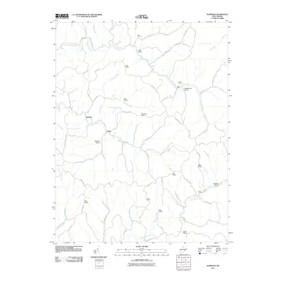 2011 Elmwood2011 Print · USGSMason County’s ridge-and-hollow landscape is captured here in the early 21st century, showing a region defined by its narrow valley settlements. Genealogists can locate family landmarks like Sayre Cemetery, Warner Cemetery, and the Rockcastle Church.
 - 2011 Map of Romance, 2011 Print
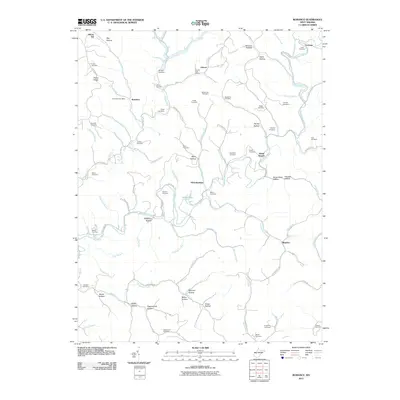 2011 Romance2011 Print · USGSJackson County rural life in the early twenty-first century is captured here through its network of hollows and small family settlements. Genealogists can trace dozens of burial sites including Dawson Cemetery and Lanham Cemetery near the Pocatalico River.
 - 2011 Map of Ripley, 2011 Print
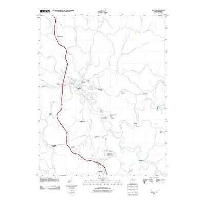 2011 Ripley2011 Print · USGSJackson County's rolling ridges and deep hollows are documented here during the early twenty-first century, centered on the community of Ripley. Genealogists can trace family landmarks and burial sites such as Pine Hill Cemetery, Mount Calvary Cemetery, and the settlement at Parchment Valley.
 - 2011 Map of New Haven, 2011 Print
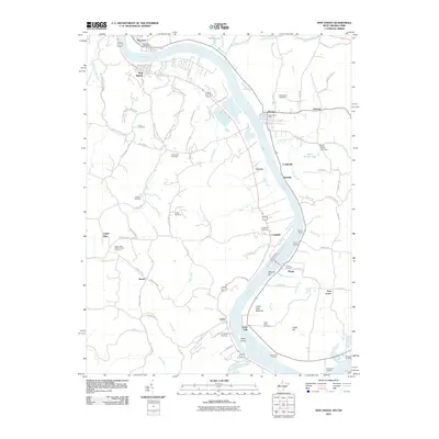 2011 New Haven2011 Print · USGSLife along the riverfront in Mason County comes into focus in this modern survey of the river-bend valley. Researchers can trace family history through numerous burial grounds like Union Cemetery and Yonker Cemetery or locate historic river access points such as Widow Parr Landing.
 - 2011 Map of Mount Alto, 2011 Print
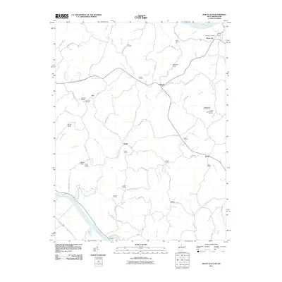 2011 Mount Alto2011 Print · USGSWest Virginia's river valleys and ridgelines are mapped in detail here during the early 2000s. Genealogists and local historians can trace numerous family-named sites, from Sayre Cemetery and Jenkins Cemetery to the landing at Rollins and the Mount Zion Church.
 - 2011 Map of Kentuck, 2011 Print
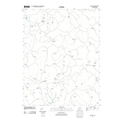 2011 Kentuck2011 Print · USGSWest Virginia's rural heartland is meticulously documented here during the early twenty-first century. Genealogists and local historians can trace family roots through numerous sites like the Williams Cemetery, the Kentuck Post Office, and the settlement at Belgrove.
 - 2013 Map of Portland, 2013 Print
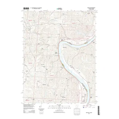 2013 Portland2013 Print · USGSThe Ohio River valley south of Parkersburg appears in detail during the early 21st century, showing the enduring rural character of Meigs County. Genealogists and local historians can locate numerous family burial sites like McKenzie Cem and churches such as Laucks Chapel Cem near Portland.
 - 2014 Map of Elmwood, 2014 Print
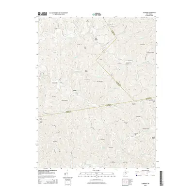 2014 Elmwood2014 Print · USGSMason County’s high ridges and hollows are documented here during the early twenty-first century, showing the rural communities of Tribble and Elmwood. Genealogists can trace family footprints across numerous sites like Mt Prospect Cem, Martin Cem, and the Barnette Chapel.
 - 2014 Map of Kenna, 2014 Print
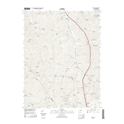 2014 Kenna2014 Print · USGSJackson County rural life is captured here in the early twenty-first century, showing the ridges and hollows around Kenna. Researchers can trace local lineage through numerous family-named landmarks like Harpold Cem, Bibbee Ridge, and Statts Mills.
 - 2014 Map of Rockport, 2014 Print
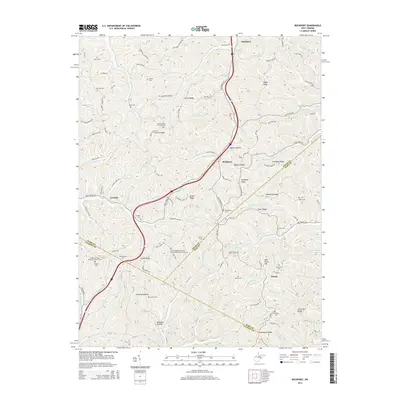 2014 Rockport2014 Print · USGSWest Virginia's Appalachian foothills come into focus in the early 2010s, showing the rural communities of Rockport and Lowdell. Researchers can trace family history through a remarkable number of small upland burial sites like Naylor Cem and the Simpson United Methodist Church Cem.
 - 2014 Map of Ripley, 2014 Print
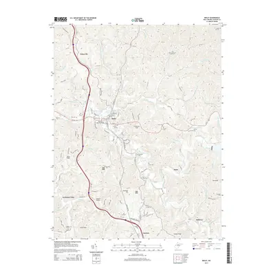 2014 Ripley2014 Print · USGSJackson County at the start of the 2010s reveals a landscape deeply rooted in its valley settlements and family heritage. Researchers can trace ancestral locations through numerous small burial grounds like Settlers Cem, Kings Cem, and Salt Hill Church Cem while exploring the rural reaches of Sidneyville and Parchment Valley.
 - 2014 Map of Mount Alto, 2014 Print
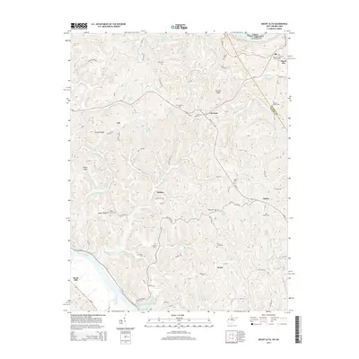 2014 Mount Alto2014 Print · USGSThe Mason and Jackson County borderlands are shown here in the early twenty-first century, centered on the ridges between the Ohio and Kanawha Rivers. Genealogists can trace family names through numerous sites like Sayre Cem, Yauger Church Cem, and the community of Rollins.
 - 2014 Map of Liverpool, 2014 Print
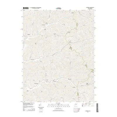 2014 Liverpool2014 Print · USGSJackson and Roane Counties meet in this highland region in 2014, where rural life is centered around the creek forks and family cemeteries. Researchers can trace local history through sites like Sheppard Chapel Cem, Meadowdale Cem, and the old crossroads at Wiseburg.
 - 2014 Map of Romance, 2014 Print
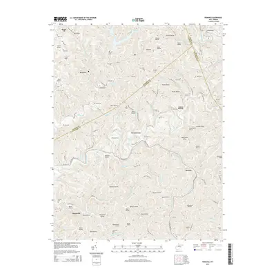 2014 Romance2014 Print · USGSThe West Virginia hill country at the intersection of Kanawha, Jackson, and Roane counties is shown here in detail. Genealogists can trace family burial sites like Newhouser Cem and Wheatcraft Cem near the settlements of Romance and Hicumbottom.
 - 2014 Map of Kentuck, 2014 Print
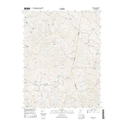 2014 Kentuck2014 Print · USGSThe rural hills of Jackson and Roane Counties come alive in this map of the early 2010s. Genealogists can locate dozens of remote family burial sites, including the Stonelick Church Cem, Godby Cem, and Price Cem near Vicars.
Showing maps 1-25 of 64
Top cities of Jackson County
Frequently asked questions
- What are the different types of historical maps available for Jackson County?
- What is the oldest map of Jackson County?
- Where can I purchase historical maps of Jackson County for my home or office?
- Where can I download high-res historical maps of Jackson County?
- Are there historical topographic maps available for Jackson County?
- Is there historical aerial imagery available for Jackson County?
- Where are historical maps of Jackson County sourced from?