Old Maps of Mammoth, West Virginia for Genealogy
Trace your family roots with 17 historic maps of Mammoth. These high-res maps reveal old neighborhoods, homesites, landmarks, and streets — helping you uncover where your ancestors lived and how the area evolved over time.
- Explore historic neighborhoods: Identify where your relatives may have lived in the 1800s or 1900s.
- Compare maps over time: Trace the changes in streets, buildings, and landmarks for multi-generational research.
- Perfect for genealogy & ancestry research: Used by family historians and researchers to map out lineage and migration.
These maps are an incredible resource for exploring your personal connection to Mammoth's past.
Mammoth, WV maps
(17)- 1897 Map of Kanawha Falls
 1897 Kanawha Falls1897 Print · USGSWest Virginia's river valleys and burgeoning industrial corridors are captured here in the late nineteenth century. You can trace the early rail networks and riverside settlements such as Montgomery, Clendenin, and the river engineering at Lock 2.
 - 1900 Map of Kanawha Falls
 1900 Kanawha Falls1900 Print · USGSThe Kanawha and Elk rivers converge here at the turn of the century as the coal and rail industries were rapidly transforming the West Virginia landscape. Genealogists and historians can trace riverside settlements like Montgomery and Coalburg or follow the paths of the Chesapeake and Ohio RR and early river navigation at Lock 2.
 - 1901 Map of Kanawha Falls
 1901 Kanawha Falls1901 Print · USGSWest Virginia's coal and rail heartland is captured here at the end of the nineteenth century, as river navigation and railroads transformed the Kanawha Valley. Genealogists and historians can trace the early footprints of Montgomery, find family sites near Kanawha Falls, and locate landmarks like Hawks Nest or Powellton.3 unique versions available
 - 1907 Map of Clendenin, 1962 Print
 1907 Clendenin1962 Print · USGSThe Elk River valley and its steep ridge-and-hollow terrain are captured here in the early 1900s as railroads expanded into the coalfields. Trace old river crossings at Jarretts Ford or locate remote hillside settlements like Putney, Quick, and Kendalia.2 unique versions available
 - 1909 Map of Clendenin
 1909 Clendenin1909 Print · USGSKanawha County’s rugged river corridors and rail-linked mining towns are captured here in the first decade of the twentieth century. Genealogists and historians can trace family locations near Jarretts Ford, Dry Ridge School, and the remote settlement of Blakeley.5 unique versions available
 - 1954 Map of Charleston
 1954 Charleston1954 Print · USGSWest Virginia’s industrial heart and mountain highlands are captured here during the mid-fifties, centered on the capital city. Researchers can trace historic river-and-rail corridors along the Kanawha River and locate remote peaks within the Monongahela National Forest.
 - 1957 Map of Mammoth, 1959 Print
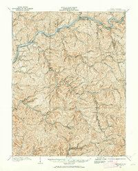
 1957 Mammoth1959 Print · USGSThe coalfields of Kanawha County are shown in detail during the late 1950s, revealing a landscape of steep hollows and industrial rail lines. Genealogists and historians can trace family roots through sites like Morris Memorial Ch, Spangler Sch, and the mining settlements of Mammoth and Blakeley.3 unique versions available
 - 1957 Map of Charleston, 1966 Print
 1957 Charleston1966 Print · USGSMid-century West Virginia unfolds along the industrial Kanawha River valley and into the high Allegheny Mountains. Genealogists and historians can trace the vital rail lines of the Chesapeake and Ohio and locate riverside settlements from Saint Albans to Buckhannon.3 unique versions available
 - 1958 Map of Charleston
 1958 Charleston1958 Print · USGSMid-century West Virginia is defined here by the industrial corridor of the Kanawha River and the high ridges of the Allegheny Mountains. Researchers can trace the rail networks of the New York Central or locate remote highland communities like Pickens and Hillsboro.
 - 1961 Map of Charleston
 1961 Charleston1961 Print · USGSWest Virginia's capital region and the highlands to the east are shown in detail during the early sixties. Genealogists and historians can trace rail networks like the Baltimore and Ohio RR and find early state parks such as Watoga State Park.
 - 1984 Map of Charleston
 1984 Charleston1984 Print · USGSWest Virginia's capital and the industrial Kanawha Valley are shown here in the mid-eighties as modern interstates began to reshape the region. Local researchers can locate family-named landmarks like Reamer (Sybial PO) and institutional anchors like West Virginia State College.2 unique versions available
 - 1996 Map of Mammoth, 2003 Print
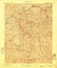
 1996 Mammoth2003 Print · USGSNear the border of Kanawha and Clay counties in the late 1990s, these mountain hollows reveal a landscape of small coal settlements and mountain churches. Genealogists can trace family locations near Mammoth, Pond Gap, and Kendalia, or find rural landmarks like Mt Zion Ch and Laurel Fork Sch.
 - 2011 Map of Mammoth, 2011 Print
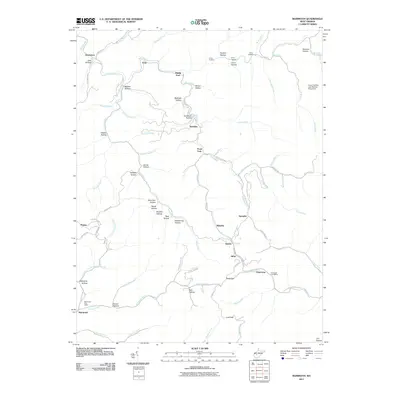 2011 Mammoth2011 Print · USGSCovers Mammoth, including Hitop, Amelia, and other nearby areas
 - 2014 Map of Mammoth, 2014 Print
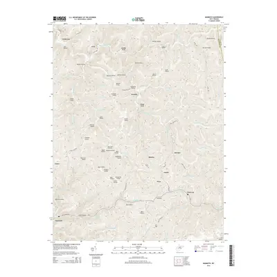 2014 Mammoth2014 Print · USGSCovers Mammoth, including Hitop, Amelia, and other nearby areas
 - 2016 Map of Mammoth, 2016 Print
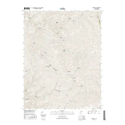 2016 Mammoth2016 Print · USGSCovers Mammoth, including Hitop, Amelia, and other nearby areas
 - 2019 Map of Mammoth, 2019 Print
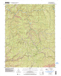
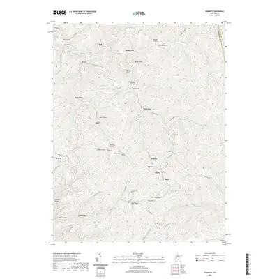 2019 Mammoth2019 Print · USGSCovers Mammoth, including Hitop, Amelia, and other nearby areas
 - 2023 Map of Mammoth, 2023 Print
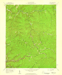
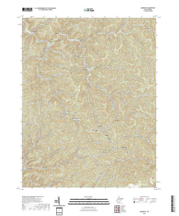 2023 Mammoth2023 Print · USGSKanawha County's rugged ridge-and-hollow terrain is captured here in the early twenty-first century, showing the enduring settlement patterns of West Virginia's coal fields. Researchers can trace local genealogy through named landmarks like Blakeley Cem and family-named hollows such as Goodman Hollow or James Hollow.
End of results
Showing maps 1-17 of 17
Top cities near Mammoth
- Charleston historical maps
- Montgomery historical maps
- Marmet historical maps
- Chesapeake historical maps
- Rand historical maps
- Belle historical maps
See more
Frequently asked questions
- What are the different types of historical maps available for Mammoth?
- What is the oldest map of Mammoth?
- Where can I purchase historical maps of Mammoth for my home or office?
- Where can I download high-res historical maps of Mammoth?
- Are there historical topographic maps available for Mammoth?
- Is there historical aerial imagery available for Mammoth?
- Where are historical maps of Mammoth sourced from?