2010s Maps of Mercer County, West Virginia
Explore 60 historic maps of Mercer County from the 2010s. These maps offer a rare glimpse into what life looked like during the 2010s — showing old roads, neighborhoods, homes, and landmarks that have changed or disappeared over time.
Whether you're researching your family's past, planning a metal detecting trip, or studying how Mercer County's landscape evolved across the 2010s, these high-resolution maps are a powerful tool for exploring the history of this region.
- Focus on a specific era: All maps on this page are from the 2010s, giving you a focused view of this time period.
- See what’s changed: Compare century-old streets, trails, and buildings to today's modern landscape using overlays and satellite layers.
- Research with precision: Use these maps for genealogy, historical research, land use analysis, or educational projects.
- View, download, or print: Maps are fully viewable online in high resolution, and can be downloaded or printed for your own records.
Start exploring Mercer County's history through authentic maps from the 2010s. This is your window into the past.
Mercer County, WV maps
(60)- 2011 Map of Lerona, 2011 Print
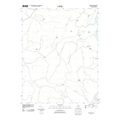 2011 Lerona2011 Print · USGSMercer County at the start of the 2010s shows a landscape of ridge-top settlements and winding mountain roads. Researchers can trace family history at Cashs Hill Cemetery and explore old transport routes like the Red Sulphur Turn Pike near Lerona.
 - 2011 Map of Pipestem, 2011 Print
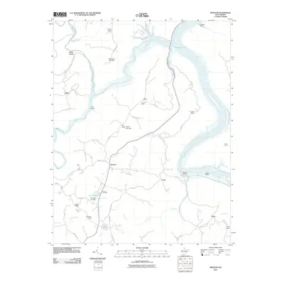 2011 Pipestem2011 Print · USGSSummers County at the start of the 2010s shows a landscape deeply shaped by its river systems and mountain ridges. Researchers can locate small communities like True and Pipestem, or find specific local landmarks like Barton Cemetery and the Bull Falls Camping Area.
 - 2011 Map of Flat Top, 2011 Print
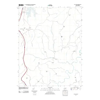 2011 Flat Top2011 Print · USGSSummers County high country is shown in detail during the early twenty-first century, centered on the communities of Ghent and Flat Top. Genealogists can trace family names and locations through landmarks like Meador Cemetery, Hatcher Cemetery, and the Huff Knob Lookout Tower.
 - 2011 Map of Rhodell, 2011 Print
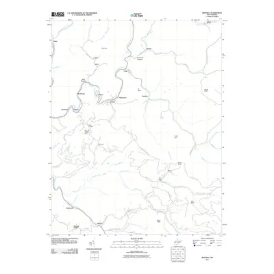 2011 Rhodell2011 Print · USGSSouthern West Virginia’s coal country is shown here in the early twenty-first century, centered on the Guyandotte River. Researchers can trace old mountain communities like Stonecoal Junction and Iroquois, or locate the Milam Cemetery and local post offices.
 - 2011 Map of Crumpler, 2011 Print
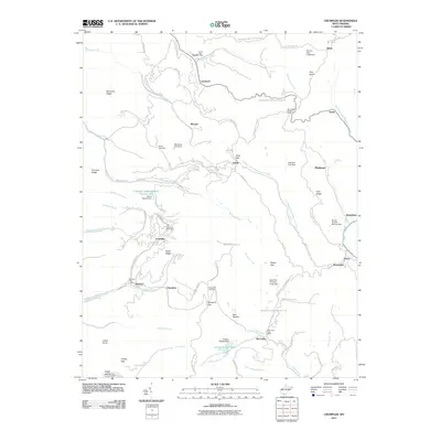 2011 Crumpler2011 Print · USGSMcDowell County's rugged mining landscape is captured here just after the turn of the millennium, showing a terrain defined by deep hollows and high ridges. Genealogists can locate family-named sites like Bailey Cemetery or trace the small post offices at Crumpler and McComas.
 - 2011 Map of Athens, 2011 Print
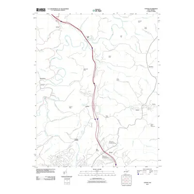 2011 Athens2011 Print · USGSMercer County at the start of the 2010s shows a landscape of university life and river valleys. Researchers can trace local heritage through landmarks like Mercer Healing Springs, the Spanishburg Post Office, and family-named features like Eads Mill.
 - 2011 Map of Bramwell, 2011 Print
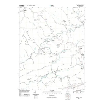 2011 Bramwell2011 Print · USGSThe West Virginia-Virginia borderlands are captured here in the early 2000s, showcasing the deep coal-mining heritage of Pocahontas and Bramwell. Local historians can trace family burial sites like Witten Cemetery or industrial markers such as the Pocahontas Mine and Flat Top Yards.
 - 2011 Map of Odd, 2011 Print
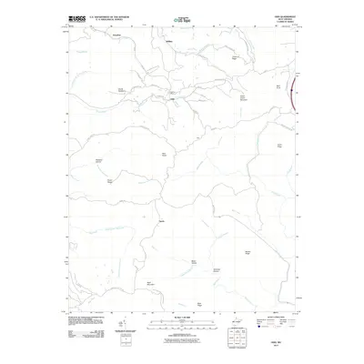 2011 Odd2011 Print · USGSSouthern West Virginia's high ridges and hollows are captured here during the early twenty-first century. Genealogists and local historians can trace family-named landmarks and small communities such as Odd, Egeria, and Josephine, or locate the Odd Post Office.
 - 2011 Map of Matoaka, 2011 Print
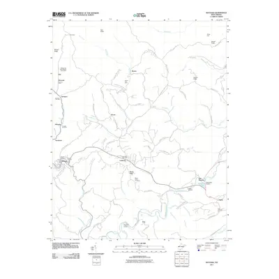 2011 Matoaka2011 Print · USGSMercer County's coal-mining heritage and ridge-top communities are well-defined in this early twenty-first-century survey. Researchers can trace family roots at Matoaka Cemetery or explore the industrial footprint of the Turkey Gap Mine Refuse Dump Dam near Smokeless.
 - 2011 Map of Princeton, 2011 Print
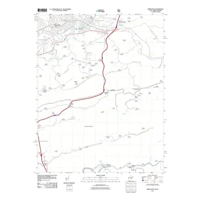 2011 Princeton2011 Print · USGSThe city of Princeton and the surrounding Mercer County ridges are captured here during the first decade of the 2000s. Genealogists and local historians can trace family ties through dozens of small cemeteries and rural settlements like Stumpy Bottom, Ingleside, and Lilly Grove.
 - 2011 Map of Bastian, 2011 Print
 2011 Bastian2011 Print · USGSBland and Mercer counties appear here in the early twenty-first century, centered on the community of Bastian at the base of Round Mountain. Genealogists and local historians can trace family locations near Rose Hill Cemetery and the hamlets of Hicksville and Byron.
 - 2011 Map of Bluefield, 2011 Print
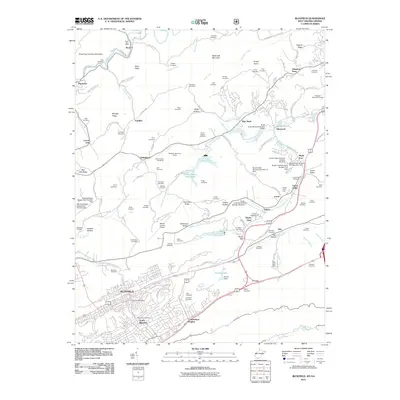 2011 Bluefield2011 Print · USGSBluefield and its northern hinterlands are shown here in the early twenty-first century, featuring a landscape of managed waterways and ridge-top settlements. Genealogists can trace family landmarks like Smith Chapel Cemetery, Johnston Town, and McQuire Cemetery.
 - 2011 Map of Peterstown, 2011 Print
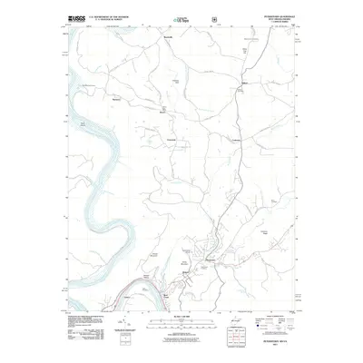 2011 Peterstown2011 Print · USGSThe Virginia and West Virginia borderlands are documented here in the early twenty-first century as the New River winds past Lurich and Rich Creek. Researchers can trace local genealogy and land use through sites like the Bozoo Post Office, Mount Carman Cemetery, and Shanklins Ferry Camp.
 - 2011 Map of Oakvale, 2011 Print
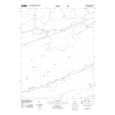 2011 Oakvale2011 Print · USGSMercer County's river valleys and mountain gaps are documented here in the early twenty-first century. Researchers can trace local heritage through the Kellysville Post Office, Oakvale Cemetery, and the small community at Possum Hollow.
 - 2011 Map of Narrows, 2011 Print
 2011 Narrows2011 Print · USGSGiles County, Virginia, and the West Virginia borderlands are revealed in this modern survey of the New River valley. Researchers can trace family history through numerous small burial grounds like Day Cemetery and Blankenship Cemetery, or follow the Appalachian Trl past Angels Rest.
 - 2013 Map of Narrows, 2013 Print
 2013 Narrows2013 Print · USGSGiles County in the early 2010s shows the enduring settlements along the New River corridor as it cuts through the mountains. Researchers can trace family-named landmarks and local connections through Shumate, Thessalia, and the Appalachian Trail.
 - 2013 Map of Bastian, 2013 Print
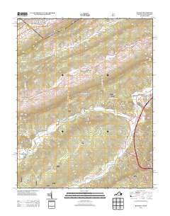 2013 Bastian2013 Print · USGSBastian and its surrounding mountain gaps are documented here in the early twenty-first century, showing the enduring layout of Appalachian valley settlements. Trace the former rail paths along Hunting Camp Cr and locate old communities like Stowersville and Grapefield.
 - 2014 Map of Oakvale, 2014 Print
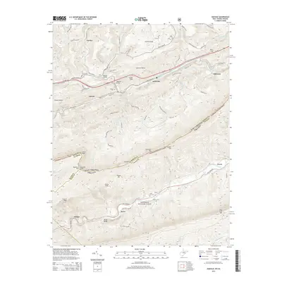 2014 Oakvale2014 Print · USGSThe borderlands of West Virginia and Virginia are detailed here in 2014, showing the settled valleys of the East River. Researchers can trace historic cemeteries and small settlements like Oakvale, Kellysville, and Hales Chapel Cem among the ridges of the Jefferson National Forest.
 - 2014 Map of Pipestem, 2014 Print
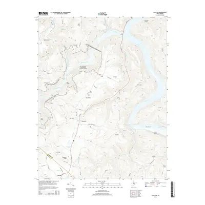 2014 Pipestem2014 Print · USGSThe Bluestone and New River valleys meet in this 2014 survey of the southern West Virginia highlands. Researchers can trace the rugged topography of Bluestone National Scenic River and locate family landmarks like Snider Cem and the settlement of Pipestem.
 - 2014 Map of Flat Top, 2014 Print
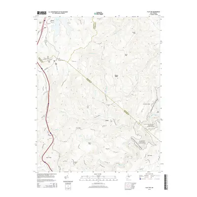 2014 Flat Top2014 Print · USGSThe West Virginia highlands are documented here during the early 2010s at the intersection of Raleigh, Mercer, and Summers counties. Family historians can locate several burial grounds like Lilly Cem and Dunns Cem or trace the Bluestone National Scenic River.
 - 2014 Map of Athens, 2014 Print
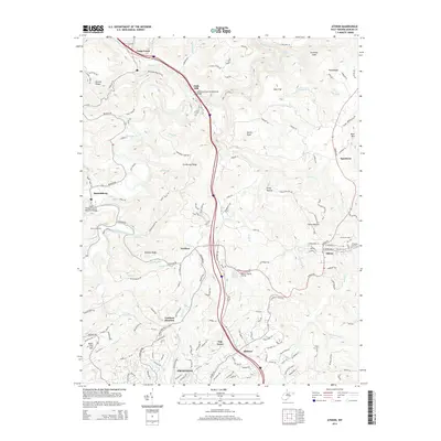 2014 Athens2014 Print · USGSMercer County's highland terrain and the Bluestone River corridor are captured here during a period of modern development around Athens and Princeton. Researchers can locate the historic Mercer Healing Springs, the grounds of Concord Univ, and local landmarks like Eads Mill and Spanishburg.
 - 2014 Map of Bramwell, 2014 Print
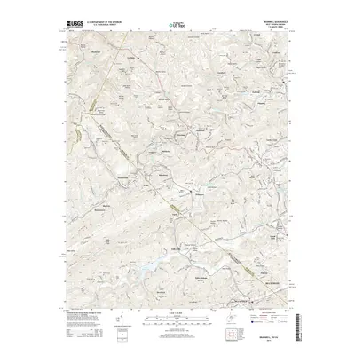 2014 Bramwell2014 Print · USGSThe West Virginia and Virginia borderlands were defined by the coal and rail industries of the mid-twenty-first century. Researchers can trace historic industrial sites and family heritage through the Exhibition Mine, the Flat Top Yards, and numerous sites like Pocahontas Cem.
 - 2014 Map of Lerona, 2014 Print
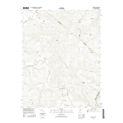 2014 Lerona2014 Print · USGSMercer County's highland ridges and small rural communities are captured here in the early twenty-first century. Genealogists and historians can trace family locations near Cashers Hill Cem, the old Red Sulphur Tpke, and the settlement of Elgood.
 - 2014 Map of Odd, 2014 Print
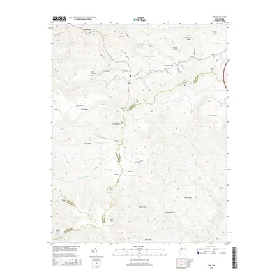 2014 Odd2014 Print · USGSThe West Virginia highlands are documented here at the Raleigh and Mercer county line during the early twenty-first century. Genealogists and hikers can trace family-named landmarks like Howard Shrewsbury Spring and ridges such as Devils Backbone or Indian Grave Mtn.
 - 2014 Map of Peterstown, 2014 Print
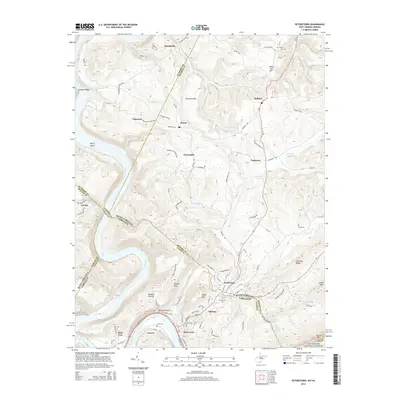 2014 Peterstown2014 Print · USGSSpanning the West Virginia and Virginia border in the 2010s, this area shows the historic river-and-rail corridor along the New River. Genealogists and historians can trace family locations near Peterstown, Lurich, and rural burial sites like Dunn Cem.
Showing maps 1-25 of 60
Top cities of Mercer County
- Bluefield historical maps
- Princeton historical maps
- Athens historical maps
- Brush Fork historical maps
- Bramwell historical maps
- Lashmeet historical maps
See more
Frequently asked questions
- What are the different types of historical maps available for Mercer County?
- What is the oldest map of Mercer County?
- Where can I purchase historical maps of Mercer County for my home or office?
- Where can I download high-res historical maps of Mercer County?
- Are there historical topographic maps available for Mercer County?
- Is there historical aerial imagery available for Mercer County?
- Where are historical maps of Mercer County sourced from?