2010s Maps of Mineral County, West Virginia
Explore 68 historic maps of Mineral County from the 2010s. These maps offer a rare glimpse into what life looked like during the 2010s — showing old roads, neighborhoods, homes, and landmarks that have changed or disappeared over time.
Whether you're researching your family's past, planning a metal detecting trip, or studying how Mineral County's landscape evolved across the 2010s, these high-resolution maps are a powerful tool for exploring the history of this region.
- Focus on a specific era: All maps on this page are from the 2010s, giving you a focused view of this time period.
- See what’s changed: Compare century-old streets, trails, and buildings to today's modern landscape using overlays and satellite layers.
- Research with precision: Use these maps for genealogy, historical research, land use analysis, or educational projects.
- View, download, or print: Maps are fully viewable online in high resolution, and can be downloaded or printed for your own records.
Start exploring Mineral County's history through authentic maps from the 2010s. This is your window into the past.
Mineral County, WV maps
(68)- 2011 Map of Antioch, 2011 Print
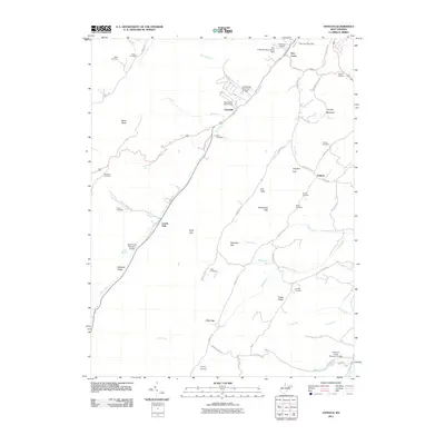 2011 Antioch2011 Print · USGSMineral County at the start of the 2010s shows a landscape of deep valleys and family history along the New Creek corridor. Genealogists and local historians can locate numerous family burial grounds including Tasker Cemetery, Ward Cemetery, and Evans Cemetery.
 - 2011 Map of Medley, 2011 Print
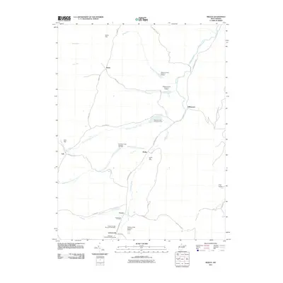 2011 Medley2011 Print · USGSGrant County is defined by the winding waters of Patterson Creek and the gaps of the Allegheny front in the early twenty-first century. Researchers can locate family landmarks in rural hubs like Lahmansville and Medley or trace the many dams and runs near Williamsport.
 - 2011 Map of Springfield, 2011 Print
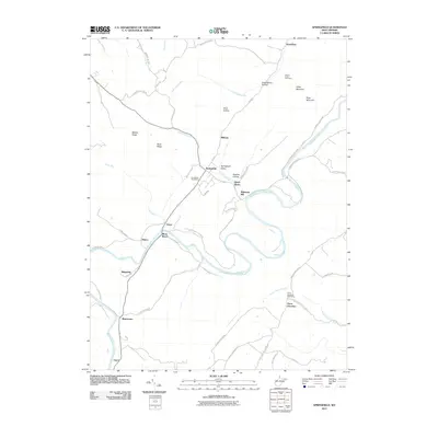 2011 Springfield2011 Print · USGSHampshire County's river-driven geography is on full display in this early twenty-first-century survey of the Potomac's South Branch. Researchers can trace local history through the Springfield Post Office, the Mount Bethel Cemetery, and the riverside sites of Millesons Mill and Blues Beach.
 - 2011 Map of Headsville, 2011 Print
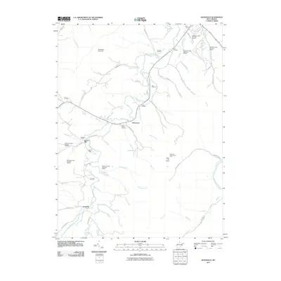 2011 Headsville2011 Print · USGSMineral County in the early twenty-first century remains a landscape of valley farms and mountain ridges along the winding Patterson Creek. Genealogists and historians can trace family roots at Reeses Mill or visit burial sites like the Headsville Cemetery and Rice Cemetery.
 - 2011 Map of Romney, 2011 Print
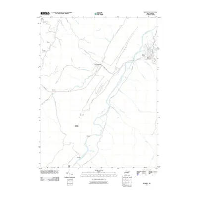 2011 Romney2011 Print · USGSHampshire County in the early 2010s shows a landscape of deep river valleys and high ridges carved by the South Branch Potomac River. Genealogists and hikers can trace connections between Romney, Indian Mound Cemetery, and old mountain settlements like Pancake.
 - 2011 Map of Old Fields, 2011 Print
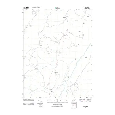 2011 Old Fields2011 Print · USGSThe South Branch Potomac River valley in West Virginia is documented here in the early twenty-first century. Family historians can trace local landmarks like Old Pine Cemetery or the rural post offices at Purgitsville and Old Fields.
 - 2011 Map of Burlington, 2011 Print
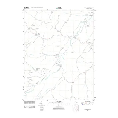 2011 Burlington2011 Print · USGSThe Patterson Creek valley in West Virginia is documented here in the early twenty-first century, showing a landscape of small hamlets and agricultural bottomlands. Genealogists can locate family burial sites like Rawlings Cemetery and Stone Chapel Cemetery tucked among the hills.
 - 2011 Map of Keyser, 2011 Print
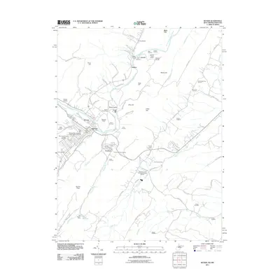 2011 Keyser2011 Print · USGSKeyser and the Potomac River valley are documented here in the early twenty-first century, showing the town's collegiate and industrial character. Genealogists can locate family landmarks like Mead Chapel Biser Cemetery, Gerstell Farms Airport, and the Poor Farm Cemetery.
 - 2011 Map of Lonaconing, 2011 Print
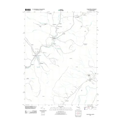 2011 Lonaconing2011 Print · USGSAllegany County's coal and mountain history is documented here in the early twenty-first century, showing the dense settlement corridor along Georges Creek. Genealogists can trace family sites from Saint Marys Cemetery to the Rawlings Post Office and Old Coney Cemetery.
 - 2011 Map of Evitts Creek, 2011 Print
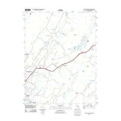 2011 Evitts Creek2011 Print · USGSCumberland and the surrounding ridges of the Maryland-Pennsylvania borderlands are shown here in the early twenty-first century. Researchers can trace family history through sites like Hillcrest Memorial Park, the Robinette Family Cemetery, and the historic Cumberland Aqueduct.
 - 2011 Map of Patterson Creek, 2011 Print
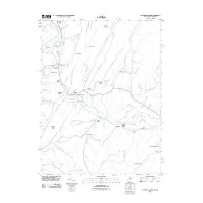 2011 Patterson Creek2011 Print · USGSThe Potomac River borderlands near Evitts Creek are captured here in the early twenty-first century. Genealogists and historians can trace local family landmarks and rural communities such as Mexico, Spring Gap, and the Methodist Cemetery.
 - 2011 Map of Cumberland, 2011 Print
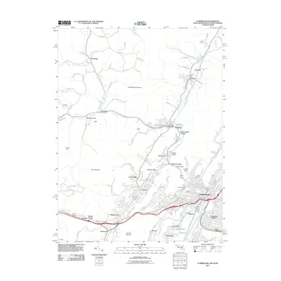 2011 Cumberland2011 Print · USGSCumberland and the Maryland-Pennsylvania borderlands appear here in the early twenty-first century, showcasing a landscape carved by river gaps and mountain ridges. Trace the region's infrastructure through Brush Tunnel, Maryland Junction, and historic sites like the Ellerslie Post Office.
 - 2011 Map of Cresaptown, 2011 Print
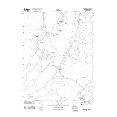 2011 Cresaptown2011 Print · USGSMaryland and West Virginia meet along the Potomac River in this 2010s survey of industrial and residential development. Genealogists can locate several local burial grounds including Lease Cemetery and Abe Cemetery, or trace the path of the B & O RR.
 - 2011 Map of Kitzmiller, 2011 Print
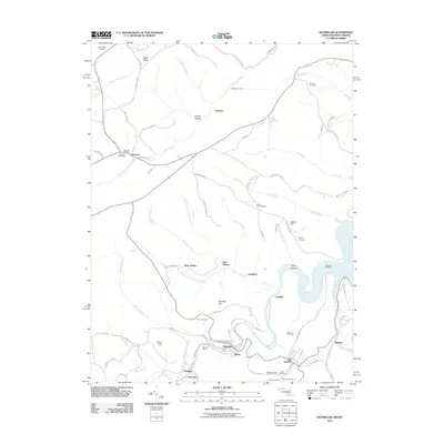 2011 Kitzmiller2011 Print · USGSIn the early twenty-first century, the North Branch Potomac River continues to define the small mining and rail towns along the Maryland-West Virginia border. Genealogists can trace family roots through numerous burial grounds like Barnard Cemetery and settlements such as Shallmar and West Vindex.
 - 2011 Map of Mount Storm, 2011 Print
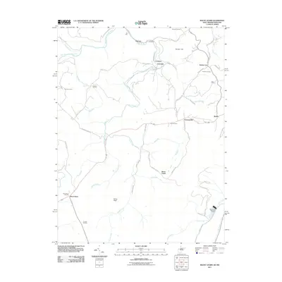 2011 Mount Storm2011 Print · USGSThe West Virginia highlands near the Potomac headwaters show a landscape of small mountain hamlets and deep family roots in the early 21st century. Researchers can trace historic burial grounds like Kalbough Cemetery and Dixon Cemetery or the rural commerce of the Mount Storm Post Office.
 - 2011 Map of Gorman, 2011 Print
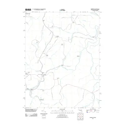 2011 Gorman2011 Print · USGSThe borderlands of Maryland and West Virginia along the North Branch Potomac River are captured here in the early twenty-first century. Genealogists can locate several family burial sites including White Cemetery and Moreland Cemetery, while tracing historic crossing points at the Bayard Truss Bridge and Gormania Bridge.
 - 2011 Map of Westernport, 2011 Print
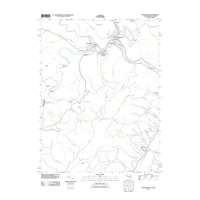 2011 Westernport2011 Print · USGSThe Potomac Highlands' industrial heart is on display in this survey of the Tri-Towns region during the early twenty-first century. Researchers can trace family sites like Thomas Family Cemetery or explore the rail hubs at West Virginia Central Junction and Piedmont.
 - 2014 Map of Old Fields, 2014 Print
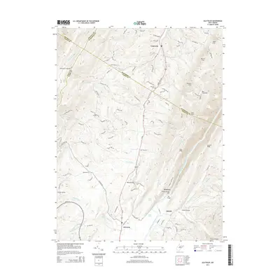 2014 Old Fields2014 Print · USGSThe Potomac's south branch valley in the early twenty-first century remains a landscape of high ridges and traditional river settlements. Researchers can trace rural lineages at Old Pine Cem or explore the geography of The Trough and Reynolds Gap.
 - 2014 Map of Antioch, 2014 Print
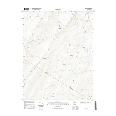 2014 Antioch2014 Print · USGSMineral County in the early twenty-first century is defined by the steep gaps and ridges of the Allegheny Front. Genealogists can locate family burial sites like Arnold Cem and Thrush Cem or trace the mountain springs that sustain Laurel Dale.
 - 2014 Map of Keyser, 2014 Print
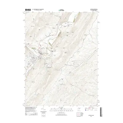 2014 Keyser2014 Print · USGSAcross the Potomac riverfront in the mid-2010s, Keyser and McCoole are linked by the B & O RR and a network of historic bridges. Researchers can trace family roots through numerous small burial sites like Poor Farm Cem or locate the campus of Potomac State College.
 - 2014 Map of Headsville, 2014 Print
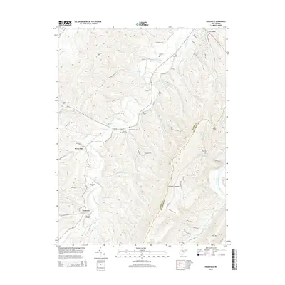 2014 Headsville2014 Print · USGSMineral and Hampshire counties meet along these ridges during the early twenty-first century, where the valley of Patterson Creek shapes the local geography. Genealogists can locate several historic burial sites, including the Mineral Baptist Cem and Greenwall Cem.
 - 2014 Map of Medley, 2014 Print
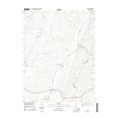 2014 Medley2014 Print · USGSGrant County is defined by the high ridges and deep valleys of the Potomac Highlands during this era. Trace the rural footprint of Lahmansville, Medley, and Williamsport or locate family landmarks like Wolf Den Spring and Toombs Hollow.
 - 2014 Map of Springfield, 2014 Print
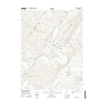 2014 Springfield2014 Print · USGSHampshire County in the early twenty-first century remains defined by the winding meanders of the Potomac. Researchers can locate family heritage sites at the Mt Bethel Primitive Baptist Church or trace old river crossings like Millesons Mill Bridge.
 - 2014 Map of Patterson Creek, 2014 Print
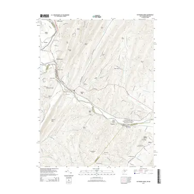 2014 Patterson Creek2014 Print · USGSThe Potomac River valley on the Maryland and West Virginia border is shown here in the early twenty-first century. Genealogists and researchers can trace family landmarks like Hardy Cem, Saint Marys Cem, and the old rail corridor of the CSX.
 - 2014 Map of Romney, 2014 Print
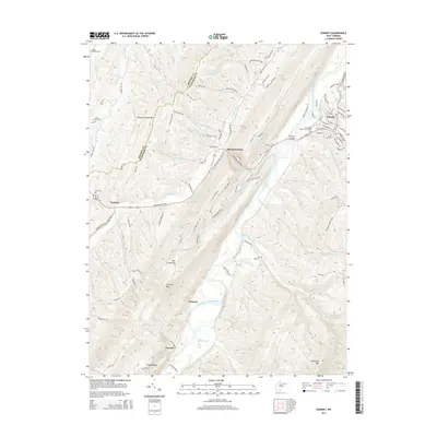 2014 Romney2014 Print · USGSThe South Branch Potomac River valley in the early 2010s reveals a network of tight-knit West Virginia communities and family homesteads. Genealogists can trace family roots through several small burial grounds like Miller McCarty Cem and Benevolence Cem near Romney.
Showing maps 1-25 of 68
Top cities of Mineral County
- Keyser historical maps
- Wiley Ford historical maps
- Carpendale historical maps
- Piedmont historical maps
- Ridgeley historical maps
- Elk Garden historical maps
Frequently asked questions
- What are the different types of historical maps available for Mineral County?
- What is the oldest map of Mineral County?
- Where can I purchase historical maps of Mineral County for my home or office?
- Where can I download high-res historical maps of Mineral County?
- Are there historical topographic maps available for Mineral County?
- Is there historical aerial imagery available for Mineral County?
- Where are historical maps of Mineral County sourced from?