Old Maps of Mason Branch, West Virginia for Academic Research
Study the evolution of Mason Branch with 16 high-resolution historic maps. Whether you're teaching, researching, or modeling changes in land use, these maps provide essential visual documentation of urban, environmental, and geographic change.
- Analyze long-term change: Track patterns in development, transportation, and natural features.
- Ideal for environmental or urban studies: Support academic projects with primary historical map data.
- Use in the classroom or lab: Educators and researchers rely on these maps to bring historical context to life.
These maps are a powerful tool for teaching, research, and visualizing how Mason Branch has changed over the decades.
Mason Branch, WV maps
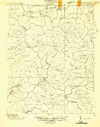
(16)- 1889 Map of Nicholas
 1889 Nicholas1889 Print · USGSNicholas County and parts of the surrounding highlands are documented here in the late nineteenth century. Genealogists can trace family landmarks and river life through recorded sites like Carnifax Ferry, Beaver Mills, and Mt. Nebo.
 - 1891 Map of Nicholas
 1891 Nicholas1891 Print · USGSNicholas County and the surrounding highlands are captured here in the late nineteenth century, when mountain life depended on a network of river crossings. Genealogists can trace family roots through sites like Nicholas C.h., Hookersville, and early river crossings such as Carnifax Ferry.
 - 1901 Map of Nicholas
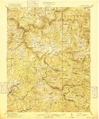
 1901 Nicholas1901 Print · USGSCentral West Virginia's river valleys and high ridges are shown here at the turn of the century as the timber industry expanded. Genealogists can trace family landmarks and river crossings like Camden on Gauley, Wainville P.O., and Bays Ferry Ford.3 unique versions available
 - 1914 Map of Winona
 1914 Winona1914 Print · USGSCentral West Virginia's rugged highlands are captured here just as the timber industry began to reshape the landscape. Local historians can trace early mountain life through dozens of named schools like Bean School and crossings such as Carnefix Ferry and Raders Ford.2 unique versions available
 - 1916 Map of Winona
 1916 Winona1916 Print · USGSNicholas and Fayette Counties are documented here before the mid-century industrial shifts, showing a world of river crossings and mountain schools. Genealogists can trace family footprints at Carnifex Ferry, Withrows Mill, and dozens of rural sites like Nutterville.3 unique versions available
 - 1954 Map of Charleston
 1954 Charleston1954 Print · USGSWest Virginia’s industrial heart and mountain highlands are captured here during the mid-fifties, centered on the capital city. Researchers can trace historic river-and-rail corridors along the Kanawha River and locate remote peaks within the Monongahela National Forest.
 - 1957 Map of Charleston, 1966 Print
 1957 Charleston1966 Print · USGSMid-century West Virginia unfolds along the industrial Kanawha River valley and into the high Allegheny Mountains. Genealogists and historians can trace the vital rail lines of the Chesapeake and Ohio and locate riverside settlements from Saint Albans to Buckhannon.3 unique versions available
 - 1958 Map of Charleston
 1958 Charleston1958 Print · USGSMid-century West Virginia is defined here by the industrial corridor of the Kanawha River and the high ridges of the Allegheny Mountains. Researchers can trace the rail networks of the New York Central or locate remote highland communities like Pickens and Hillsboro.
 - 1961 Map of Charleston
 1961 Charleston1961 Print · USGSWest Virginia's capital region and the highlands to the east are shown in detail during the early sixties. Genealogists and historians can trace rail networks like the Baltimore and Ohio RR and find early state parks such as Watoga State Park.
 - 1969 Map of Summersville Dam, 1973 Print
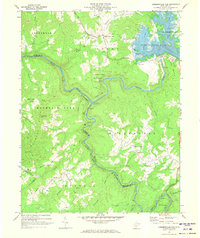 1969 Summersville Dam1973 Print · USGSThe West Virginia highlands are captured here during the late sixties, just as Summersville Lake transformed the local landscape. Genealogists and historians can trace the Old Carnifex Ferry Site and local landmarks like Keslers Cross Lanes or Richmond Chapel.3 unique versions available
 - 1979 Map of Marlinton, 1982 Print
 1979 Marlinton1982 Print · USGSThe West Virginia highlands are shown in detail during the late seventies, featuring the dense rail networks and mountain towns of the Allegheny range. Researchers can trace family roots through sites like Buckeye Cem, Mount Nebo Ch, and the lumber and coal hubs of Richwood and Rainelle.
 - 2011 Map of Summersville Dam, 2011 Print
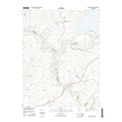
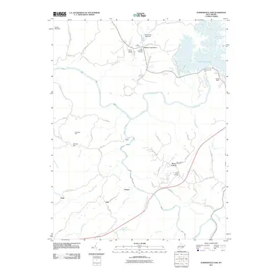 2011 Summersville Dam2011 Print · USGSCovers Mason Branch, including Vinton, Mount Lookout, and other nearby areas
 - 2014 Map of Summersville Dam, 2014 Print
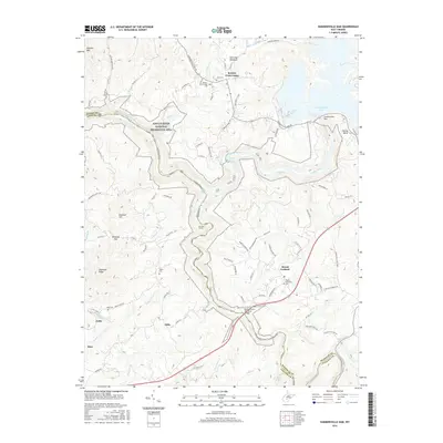
 2014 Summersville Dam2014 Print · USGSCovers Mason Branch, including Vinton, Mount Lookout, and other nearby areas
 - 2016 Map of Summersville Dam, 2016 Print
 2016 Summersville Dam2016 Print · USGSCovers Mason Branch, including Vinton, Mount Lookout, and other nearby areas
 - 2019 Map of Summersville Dam, 2019 Print
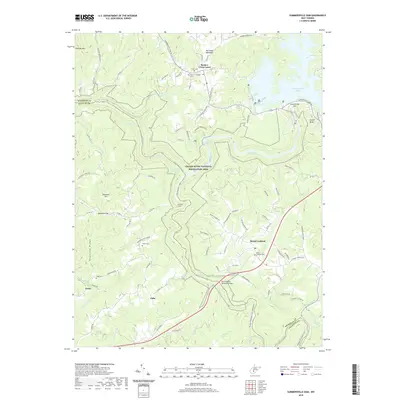 2019 Summersville Dam2019 Print · USGSCovers Mason Branch, including Vinton, Mount Lookout, and other nearby areas
 - 2023 Map of Summersville Dam, 2023 Print
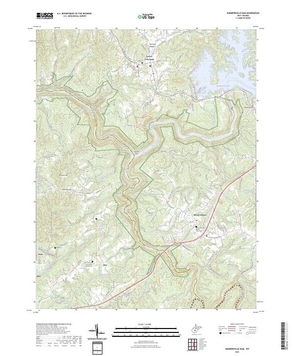 2023 Summersville Dam2023 Print · USGSThe West Virginia highlands and the Gauley River canyon come alive in this detailed look at Nicholas and Fayette Counties. Trace family roots at Kesler Memorial Presbyterian Church Cem or explore the historic crossing at Carnifex Ferry.
End of results
Showing maps 1-16 of 16
Top cities near Mason Branch
- Oak Hill historical maps
- Summersville historical maps
- Fayetteville historical maps
- Ansted historical maps
- Gauley Bridge historical maps
- Clay historical maps
See more
Frequently asked questions
- What are the different types of historical maps available for Mason Branch?
- What is the oldest map of Mason Branch?
- Where can I purchase historical maps of Mason Branch for my home or office?
- Where can I download high-res historical maps of Mason Branch?
- Are there historical topographic maps available for Mason Branch?
- Is there historical aerial imagery available for Mason Branch?
- Where are historical maps of Mason Branch sourced from?