2000s (21st Century) Maps of Pendleton County, West Virginia
Explore 44 historic maps of Pendleton County from the 2000s (21st Century). These maps offer a rare glimpse into what life looked like during the 2000s — showing old roads, neighborhoods, homes, and landmarks that have changed or disappeared over time.
Whether you're researching your family's past, planning a metal detecting trip, or studying how Pendleton County's landscape evolved across the 2000s, these high-resolution maps are a powerful tool for exploring the history of this region.
- Focus on a specific era: All maps on this page are from the 2000s, giving you a focused view of this time period.
- See what’s changed: Compare century-old streets, trails, and buildings to today's modern landscape using overlays and satellite layers.
- Research with precision: Use these maps for genealogy, historical research, land use analysis, or educational projects.
- View, download, or print: Maps are fully viewable online in high resolution, and can be downloaded or printed for your own records.
Start exploring Pendleton County's history through authentic maps from the 2000s. This is your window into the past.
Pendleton County, WV maps
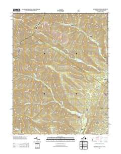
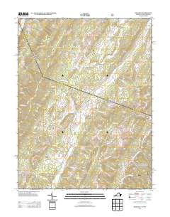
(44)- 2011 Map of Reddish Knob, 2011 Print
 2011 Reddish Knob2011 Print · USGSCovers Pendleton County, including Rockingham County, Augusta County, and other nearby areas
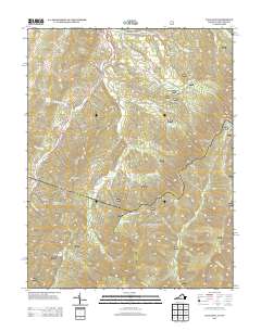
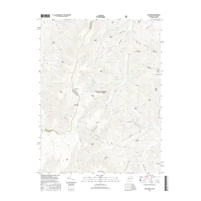
 - 2011 Map of Monterey, 2011 Print
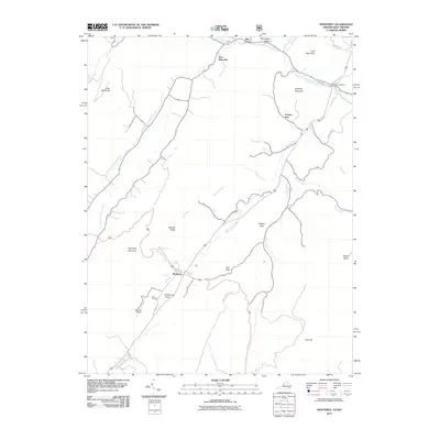 2011 Monterey2011 Print · USGSCovers Pendleton County, including Monterey, New Hampden, and other nearby areas
 - 2011 Map of Cow Knob, 2011 Print
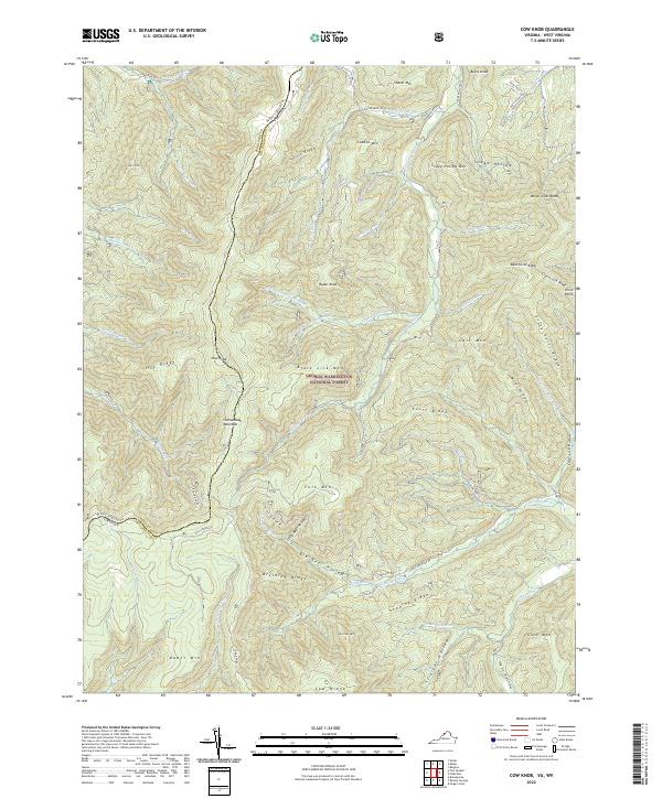
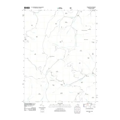 2011 Cow Knob2011 Print · USGSCovers Pendleton County, including Rockingham County, United States, and other nearby areas
 - 2011 Map of Doe Hill, 2011 Print
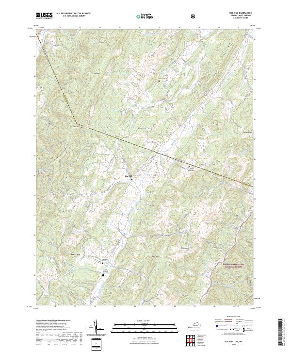
 2011 Doe Hill2011 Print · USGSCovers Pendleton County, including Sirons Mill, Doe Hill, and other nearby areas
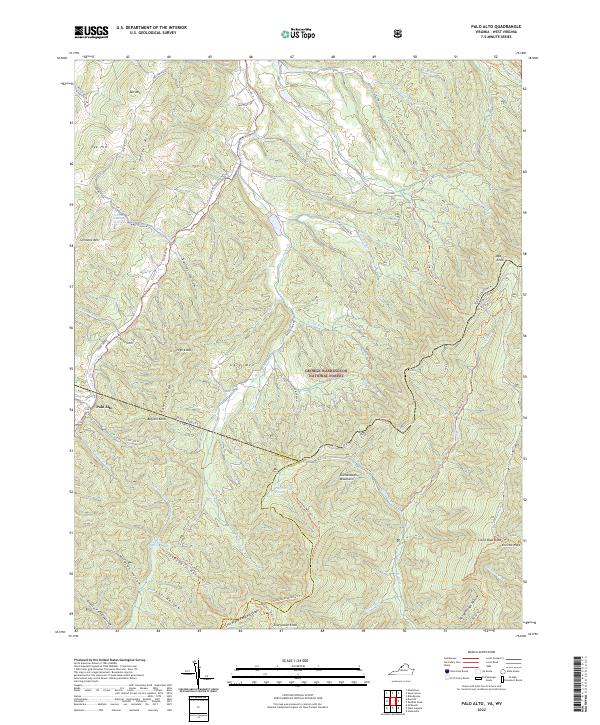
 - 2011 Map of Palo Alto, 2011 Print
 2011 Palo Alto2011 Print · USGSCovers Pendleton County, including Palo Alto, Augusta County, and other nearby areas
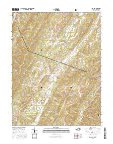
 - 2013 Map of Monterey, 2013 Print
 2013 Monterey2013 Print · USGSCovers Pendleton County, including Monterey, New Hampden, and other nearby areas
 - 2013 Map of Reddish Knob, 2013 Print
 2013 Reddish Knob2013 Print · USGSCovers Pendleton County, including Rockingham County, Augusta County, and other nearby areas
 - 2013 Map of Palo Alto, 2013 Print
 2013 Palo Alto2013 Print · USGSCovers Pendleton County, including Palo Alto, Augusta County, and other nearby areas
 - 2013 Map of Cow Knob, 2013 Print
 2013 Cow Knob2013 Print · USGSCovers Pendleton County, including Rockingham County, United States, and other nearby areas
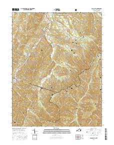
 - 2013 Map of Doe Hill, 2013 Print
 2013 Doe Hill2013 Print · USGSCovers Pendleton County, including Sirons Mill, Doe Hill, and other nearby areas
 - 2016 Map of Cow Knob, 2016 Print
 2016 Cow Knob2016 Print · USGSCovers Pendleton County, including Rockingham County, United States, and other nearby areas
 - 2016 Map of Doe Hill, 2016 Print
 2016 Doe Hill2016 Print · USGSCovers Pendleton County, including Sirons Mill, Doe Hill, and other nearby areas
 - 2016 Map of Palo Alto, 2016 Print
 2016 Palo Alto2016 Print · USGSCovers Pendleton County, including Palo Alto, Augusta County, and other nearby areas
 - 2016 Map of Monterey, 2016 Print
 2016 Monterey2016 Print · USGSCovers Pendleton County, including Monterey, New Hampden, and other nearby areas
 - 2016 Map of Reddish Knob, 2016 Print
 2016 Reddish Knob2016 Print · USGSCovers Pendleton County, including Rockingham County, Augusta County, and other nearby areas
 - 2019 Map of Cow Knob, 2019 Print
 2019 Cow Knob2019 Print · USGSCovers Pendleton County, including Rockingham County, United States, and other nearby areas
 - 2019 Map of Monterey, 2019 Print
 2019 Monterey2019 Print · USGSCovers Pendleton County, including Monterey, New Hampden, and other nearby areas
 - 2019 Map of Reddish Knob, 2019 Print
 2019 Reddish Knob2019 Print · USGSCovers Pendleton County, including Rockingham County, Augusta County, and other nearby areas
 - 2019 Map of Palo Alto, 2019 Print
 2019 Palo Alto2019 Print · USGSCovers Pendleton County, including Palo Alto, Augusta County, and other nearby areas
 - 2019 Map of Doe Hill, 2019 Print
 2019 Doe Hill2019 Print · USGSCovers Pendleton County, including Sirons Mill, Doe Hill, and other nearby areas
 - 2022 Map of Reddish Knob, 2022 Print
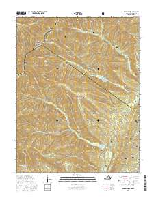
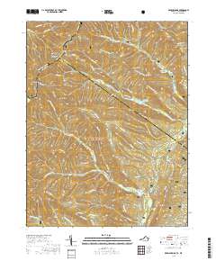
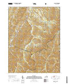
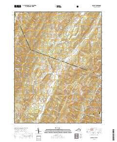
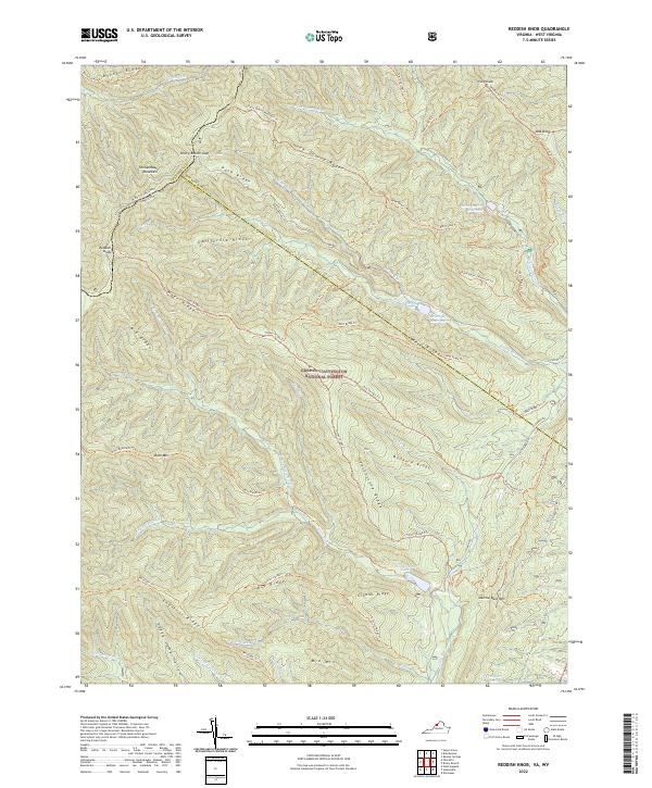 2022 Reddish Knob2022 Print · USGSThe high ridges of the Shenandoah border were captured in detail during this recent survey of the central Appalachians. Hikers and historians can trace complex trail networks across Shenandoah Mountain and find landmarks like Reddish Knob and Hearthstone Lake.
 - 2022 Map of Monterey, 2022 Print
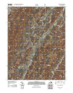
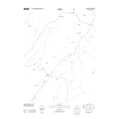
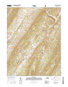
 2022 Monterey2022 Print · USGSThe Highland County seat and its surrounding mountain valleys are captured here in the early twenty-first century. Researchers can locate numerous family burial sites and landmarks like the Highland County Courthouse, Monterey Cem, and Simmons Family Cem.
 - 2022 Map of Palo Alto, 2022 Print
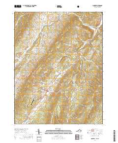
 2022 Palo Alto2022 Print · USGSSettlement and forest overlap on the Virginia-West Virginia border in this recent survey of the Allegheny Highlands. Researchers can locate family landmarks like Warren Rexrode Spring and Puffenbarger Pond or trace the winding course of the S Fork S Br Potomac River.
 - 2022 Map of Cow Knob, 2022 Print
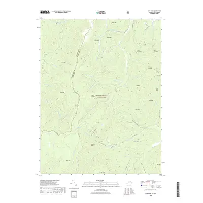
 2022 Cow Knob2022 Print · USGSThe high ridges of the Virginia and West Virginia border are preserved here in the early 2020s within the George Washington National Forest. Researchers can trace the rugged topography of Shenandoah Mountain and find family-named landmarks like Fulk Mtn and Rader Mtn.
 - 2022 Map of Doe Hill, 2022 Print
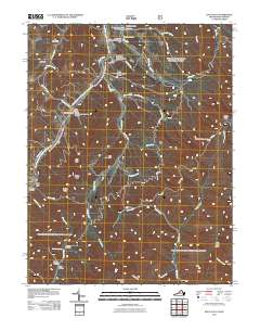
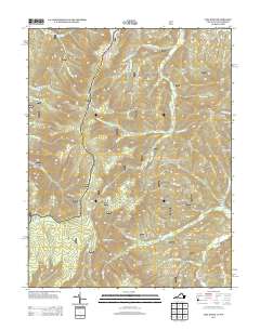
 2022 Doe Hill2022 Print · USGSHighland County's high ridges and river valleys are captured here in the early twenty-first century as they straddle the West Virginia line. Genealogists can locate family landmarks like the Armstrong/Hiner Family Cem and old church sites at Doe Hill and Sirons Mill.
Showing maps 1-25 of 44
Top cities of Pendleton County
Frequently asked questions
- What are the different types of historical maps available for Pendleton County?
- What is the oldest map of Pendleton County?
- Where can I purchase historical maps of Pendleton County for my home or office?
- Where can I download high-res historical maps of Pendleton County?
- Are there historical topographic maps available for Pendleton County?
- Is there historical aerial imagery available for Pendleton County?
- Where are historical maps of Pendleton County sourced from?