2010s Maps of Pendleton County, West Virginia
Explore 96 historic maps of Pendleton County from the 2010s. These maps offer a rare glimpse into what life looked like during the 2010s — showing old roads, neighborhoods, homes, and landmarks that have changed or disappeared over time.
Whether you're researching your family's past, planning a metal detecting trip, or studying how Pendleton County's landscape evolved across the 2010s, these high-resolution maps are a powerful tool for exploring the history of this region.
- Focus on a specific era: All maps on this page are from the 2010s, giving you a focused view of this time period.
- See what’s changed: Compare century-old streets, trails, and buildings to today's modern landscape using overlays and satellite layers.
- Research with precision: Use these maps for genealogy, historical research, land use analysis, or educational projects.
- View, download, or print: Maps are fully viewable online in high resolution, and can be downloaded or printed for your own records.
Start exploring Pendleton County's history through authentic maps from the 2010s. This is your window into the past.
Pendleton County, WV maps
(96)- 2011 Map of Reddish Knob, 2011 Print
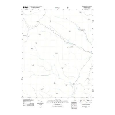 2011 Reddish Knob2011 Print · USGSThe high Appalachian ridges of Rockingham County are shown in detail during the early twenty-first century, highlighting a landscape of peaks and water-control reservoirs. Researchers can locate distinct landmarks such as Reddish Knob, the Hone Quarry Reservoir, and the Briery Branch Overlook.
 - 2011 Map of Circleville, 2011 Print
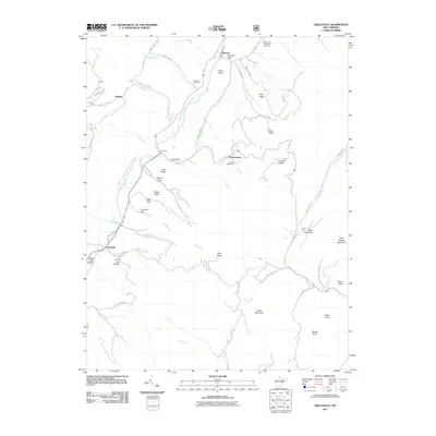 2011 Circleville2011 Print · USGSIn this early 2010s survey of Pendleton County, West Virginia, small communities like Circleville and Riverton sit deep within the gaps of the River Knobs. Researchers can trace family history at the Simmons Cemetery or explore local landmarks like Judy Rocks and Monkeytown.
 - 2011 Map of Monterey, 2011 Print
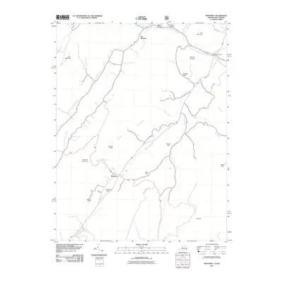 2011 Monterey2011 Print · USGSHighland County at the turn of the decade remains a landscape of high ridges and narrow valleys centered on the village of Monterey. Researchers can trace the rural road networks and historic watercourses that connect New Hampden, Doe Hill, and the unique volcanic peak of Trimble Knob.
 - 2011 Map of Mozer, 2011 Print
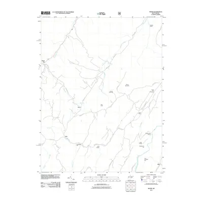 2011 Mozer2011 Print · USGSPendleton County's high ridges and river valleys are captured here in the early 2000s, showing the enduring rural layout of the South Fork region. Researchers can trace family names and small settlements from Mozer and Kline to high landmarks like Huckleberry Hill.
 - 2011 Map of Cow Knob, 2011 Print
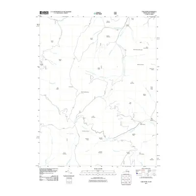 2011 Cow Knob2011 Print · USGSThe high ridges along the Virginia-West Virginia border are captured here in the early twenty-first century. Researchers can trace remote mountain geography through landmarks like Cow Knob, Old Road Hollow, and the headwaters of the German River.
 - 2011 Map of Upper Tract, 2011 Print
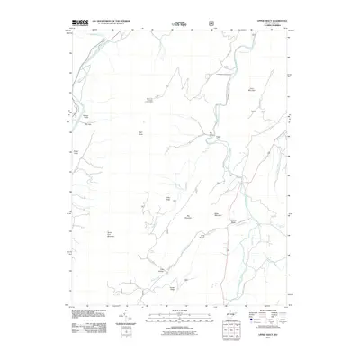 2011 Upper Tract2011 Print · USGSPendleton County in the early twenty-first century is a landscape of dramatic ridgelines and river gaps. Researchers can trace the high-country paths near Seneca Rocks, locate the North Fork Mountain Lookout Tower, or explore the area around Smoke Hole and Eagle Rock.
 - 2011 Map of Onego, 2011 Print
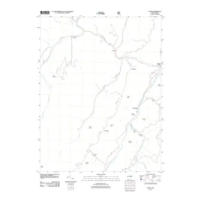 2011 Onego2011 Print · USGSPendleton County is centered on the confluence of Seneca Creek and the North Fork at the start of the 2010s. Local historians can trace the rural communities of Onego and Teterton or find landmarks like Judy Spring and Seneca Rocks.
 - 2011 Map of Thornwood, 2011 Print
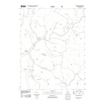 2011 Thornwood2011 Print · USGSThe West Virginia highlands near the Virginia border come into focus in the early 2000s, showing a landscape of high ridges and protected river forks. Researchers can trace local landmarks like Camp Pocahontas, the Buffalo Fork Dam, and the winding East Fork Greenbrier River.
 - 2011 Map of Doe Hill, 2011 Print
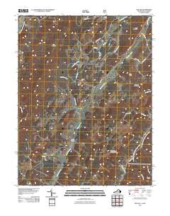 2011 Doe Hill2011 Print · USGSHighland County’s high valleys and mountain ridges are captured here in the early twenty-first century, showing a landscape defined by its rivers. Researchers can trace historic family landmarks like Totten Cemetery and Sirons Mill or follow the paths of the Bullpasture River and Blackthorn Creek.
 - 2011 Map of Sinks of Gandy, 2011 Print
 2011 Sinks of Gandy2011 Print · USGSThe West Virginia highlands in the early twenty-first century are defined by their complex river headwaters and high-altitude forest recreation. Researchers can trace the rugged topography of Sinks of Gandy while locating landmarks like Osceola and Middle Mountain Cabins.
 - 2011 Map of Sugar Grove, 2011 Print
 2011 Sugar Grove2011 Print · USGSThe South Branch Potomac River valley is shown at the start of the 2010s, highlighting the isolated mountain communities of Pendleton County. Genealogists and historians can trace family-named landmarks and hamlets like Dahmer, Propstburg, and Moyers.
 - 2011 Map of Spruce Knob, 2011 Print
 2011 Spruce Knob2011 Print · USGSThe high peaks of the Allegheny Mountains and the settlement of Cherry Grove are the focus of this survey at the start of the 2010s. Researchers can trace the drainage of the North Fork South Branch Potomac River and locate mountain landmarks like the Gatewood Lookout Tower and Spruce Knob.
 - 2011 Map of Moatstown, 2011 Print
 2011 Moatstown2011 Print · USGSThe South Branch Potomac River corridor in Pendleton County is revealed in this 2011 survey, showing the mountain-valley landscape of the early twenty-first century. Researchers can trace local landmarks like Moatstown, Harper, and the Cave near Hammer Run.
 - 2011 Map of Whitmer, 2011 Print
 2011 Whitmer2011 Print · USGSRandolph County's river-bottom communities are captured here in the early twenty-first century along the winding Dry Fork. Researchers can trace local lineage through family-named landmarks like Lee Bennett Hollow and the Laurel Hill Cemetery or locate the site of Little Italy.
 - 2011 Map of Franklin, 2011 Print
 2011 Franklin2011 Print · USGSFranklin and the surrounding Pendleton County highlands are captured here in the early twenty-first century. Researchers can trace the development of the valley floor along the South Branch Potomac River and identify legacy locations like Ruddle and Oak Grove.
 - 2011 Map of Snowy Mountain, 2011 Print
 2011 Snowy Mountain2011 Print · USGSThe West Virginia and Virginia borderlands come into focus in the early 2000s, showing the high-elevation settlements of the Potomac highlands. Researchers can trace family history through the Blue Grass Cemetery or locate old homesteads near Hardscrabble and Devils Backbone.
 - 2011 Map of Brandywine, 2011 Print
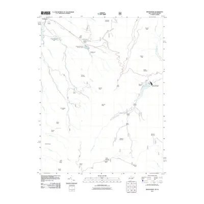 2011 Brandywine2011 Print · USGSThe Potomac River's south branch valley is shown in the early twenty-first century, revealing a landscape of ridge-top knobs and flood-control lakes. Genealogists and hikers can trace sites like Pine Hill Cemetery, Granddaddy Knob, and Bandywine Lake Campground.
 - 2011 Map of Fort Seybert, 2011 Print
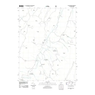 2011 Fort Seybert2011 Print · USGSThe South Fork valley of the Potomac River in West Virginia is documented here in the early twenty-first century. Researchers can trace the layout of historic settlements like Fort Seybert and Brandywine, or locate family burial sites at Hinkle Cemetery and Dice Cemetery.
 - 2011 Map of Palo Alto, 2011 Print
 2011 Palo Alto2011 Print · USGSThe mountain valleys near Palo Alto at the turn of the decade reveal a landscape of deep hollows and high ridges. Genealogists can trace family-named locations like Huffman Hollow, Sinclair Hollow, and landmarks such as Rock Lick Spring.
 - 2011 Map of Milam, 2011 Print
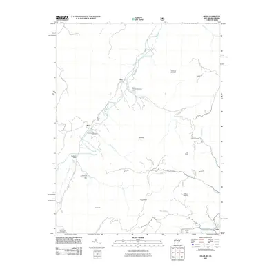 2011 Milam2011 Print · USGSHardy County highlands in the early 21st century reveal a landscape of river-valley settlements and flood-control infrastructure. Genealogists and historians can trace local family landmarks such as Reynolds Knob and the communities of Milam and Peru.
 - 2011 Map of Harman, 2011 Print
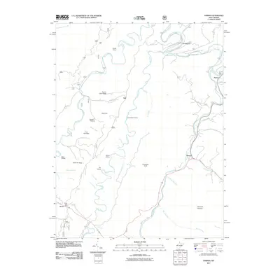 2011 Harman2011 Print · USGSThe mountain valleys of Randolph County appear in detail here during the early 2010s, showing the enduring character of its river settlements. Genealogists and historians can trace family-named sites like Kerns Cemetery and the Dry Fork Post Office along the Glady Fork.
 - 2011 Map of Petersburg West, 2011 Print
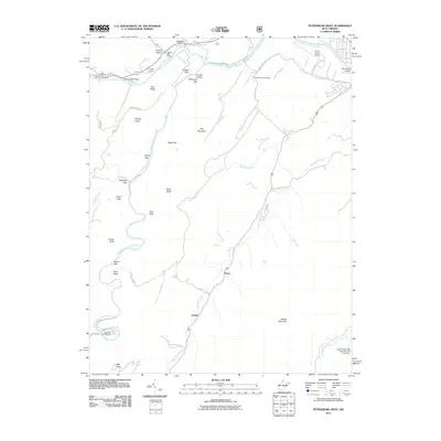 2011 Petersburg West2011 Print · USGSGrant County is defined by its winding river forks and steep ridges as they appeared in the early 2000s. Researchers can locate specific rural landmarks like Bethel Church, the Cabins Post Office, and the Petersburg Fish Hatchery.
 - 2011 Map of Laneville, 2011 Print
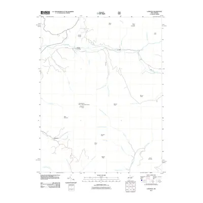 2011 Laneville2011 Print · USGSThe high peaks and remote hollows of Randolph County are mapped here in the early 2000s, showcasing a landscape of isolated settlements and prominent knobs. Researchers can locate the Flanagan Memorial Cemetery or trace the paths of Red Creek and Roaring Creek.
 - 2011 Map of Hopeville, 2011 Print
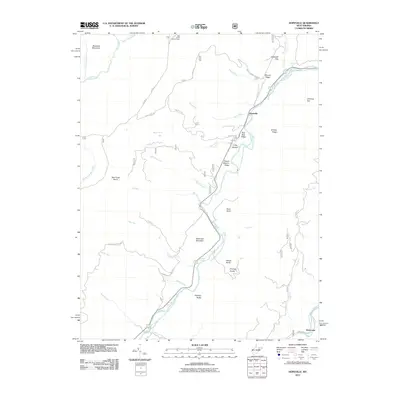 2011 Hopeville2011 Print · USGSGrant County’s high mountain ridges and river valleys are captured here in the early twenty-first century as they were managed for recreation and conservation. Genealogists and hikers can trace old routes like Smoke Hole Rd and locate landmarks such as the Bell Knob Lookout Tower and Hopeville Gap.
 - 2013 Map of Monterey, 2013 Print
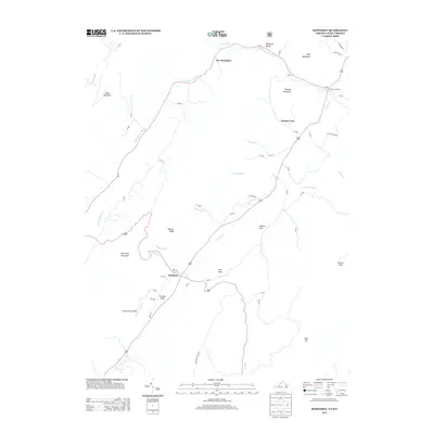 2013 Monterey2013 Print · USGSHighland County’s mountain valleys are captured in the early twenty-first century, showing the enduring rural character of these high-elevation communities. Researchers can trace the village layouts of Monterey and New Hampden or locate landmarks like Hannah Field Airport and Trimble Knob.
Showing maps 1-25 of 96
Top cities of Pendleton County
Frequently asked questions
- What are the different types of historical maps available for Pendleton County?
- What is the oldest map of Pendleton County?
- Where can I purchase historical maps of Pendleton County for my home or office?
- Where can I download high-res historical maps of Pendleton County?
- Are there historical topographic maps available for Pendleton County?
- Is there historical aerial imagery available for Pendleton County?
- Where are historical maps of Pendleton County sourced from?