Old Maps of Thornwood, West Virginia for Metal Detecting
Plan your next treasure hunt with 14 historic maps of Thornwood. Find old homesites, ghost towns, trails, and gathering spots that may be lost to time — perfect for identifying promising metal detecting locations.
- Locate forgotten sites: Uncover places like long-lost settlements, abandoned rail lines, or gathering spots.
- Plan better hunts: Use map overlays combined with LiDAR or satellite views to narrow in on historically rich areas.
- Made for detectorists: Thousands of hobbyists use these maps to discover relics, coins, and hidden history.
Use these historic maps to boost your research and find new opportunities beneath the surface of Thornwood.
Thornwood, WV maps
(14)- 1889 Map of Beverly
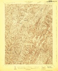
 1889 Beverly1889 Print · USGSThe high Allegheny ridges and river forks of West Virginia are mapped here in the late 1880s, highlighting the rugged settlement patterns of Randolph and Pocahontas counties. Researchers can trace early family-named locations such as Days Mills, locate the Boundary Line In Dispute, and find remote outposts like Traveller's Repose.
 - 1892 Map of Beverly
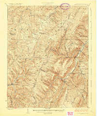
 1892 Beverly1892 Print · USGSCentral West Virginia's high-mountain settlements and disputed county lines are captured here in the late nineteenth century. Genealogists and historians can trace family locations and early industry near Beverly, Huttonsville, and the remote Days Mills.5 unique versions available
 - 1922 Map of Spruce Knob
 1922 Spruce Knob1922 Print · USGSThe Potomac Highlands are seen here in the early 1920s, a period defined by small mountain gaps and high-altitude settlements. Researchers can trace rural life through dozens of sites like Osceola Po, Winterburn Station, and the isolated Ridge Church.3 unique versions available
 - 1924 Map of Spruce Knob
 1924 Spruce Knob1924 Print · USGSThe Allegheny high country comes alive in the mid-twenties, centered on the heights of Spruce Knob and the North Fork River. Genealogists can trace family footprints at Osceola PO, Rexrode, and numerous mountain schools like Stark School.2 unique versions available
 - 1949 Map of Charlottesville
 1949 Charlottesville1949 Print · USGSThe Shenandoah Valley and Blue Ridge appear in the late 1940s as a thriving corridor of rail and river commerce. Researchers can trace the mid-century footprints of Harrisonburg, Staunton, and Culpeper alongside the historic routes of the Southern Railway.2 unique versions available
 - 1956 Map of Charlottesville, 1966 Print
 1956 Charlottesville1966 Print · USGSThe Shenandoah Valley and Blue Ridge are captured in detail during the mid-1960s as the modern interstate system began to emerge. Genealogists and historians can trace rail-connected hubs like Waynesboro or follow the river paths of the Rapidan River and Rivanna River.4 unique versions available
 - 1969 Map of Thornwood, 1971 Print
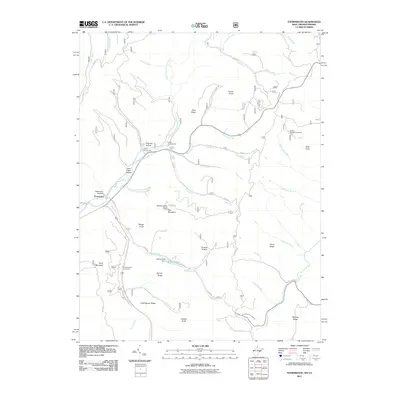
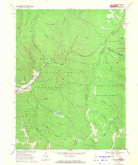 1969 Thornwood1971 Print · USGSThe West Virginia and Virginia borderlands come into focus in the late sixties, where the Greenbrier River headwaters meet national forest lands. Local historians can locate Thornwood, the Buffalo Fork Dam, and family landmarks like Rambottom or the Cem near Circleville.2 unique versions available
 - 1981 Map of Elkins, 1983 Print
 1981 Elkins1983 Print · USGSThe West Virginia mountains in the early eighties were a hub of rail-based industry and emerging conservation lands. Genealogists and historians can trace the paths of the Western Maryland RR through Elkins and locate small upland communities like Harpertown, Bowden, and Wymer.
 - 1995 Map of Thornwood, 1998 Print
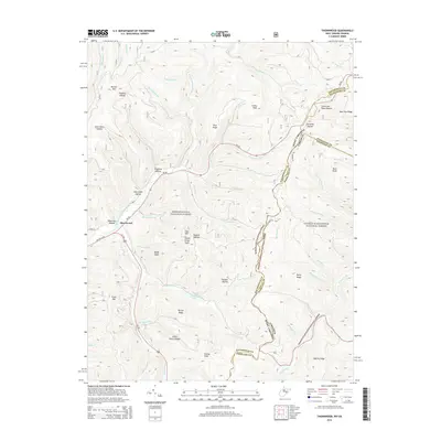
 1995 Thornwood1998 Print · USGSThe West Virginia and Virginia borderlands come alive in the 1990s as the high ridges of the Allegheny Mountains meet. Genealogists and hikers can trace the remote reaches of the Greenbrier River near Thornwood, locate the cemetery, and find Locust Springs.
 - 2011 Map of Thornwood, 2011 Print
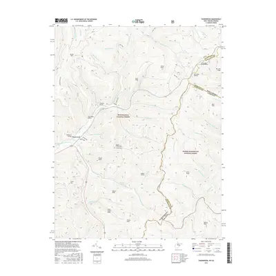
 2011 Thornwood2011 Print · USGSCovers Thornwood, including Highland County, Pendleton County, and other nearby areas
 - 2014 Map of Thornwood, 2014 Print
 2014 Thornwood2014 Print · USGSCovers Thornwood, including Highland County, Pendleton County, and other nearby areas
 - 2016 Map of Thornwood, 2016 Print
 2016 Thornwood2016 Print · USGSCovers Thornwood, including Highland County, Pendleton County, and other nearby areas
 - 2019 Map of Thornwood, 2019 Print
 2019 Thornwood2019 Print · USGSCovers Thornwood, including Highland County, Pendleton County, and other nearby areas
 - 2023 Map of Thornwood, 2023 Print
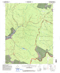
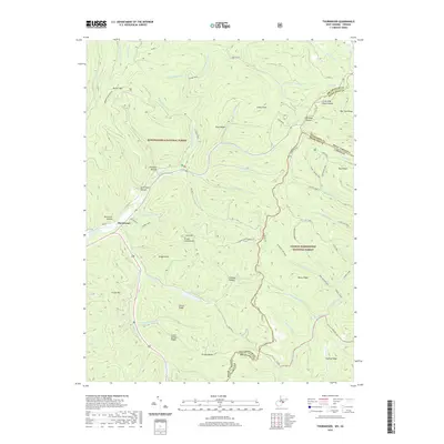
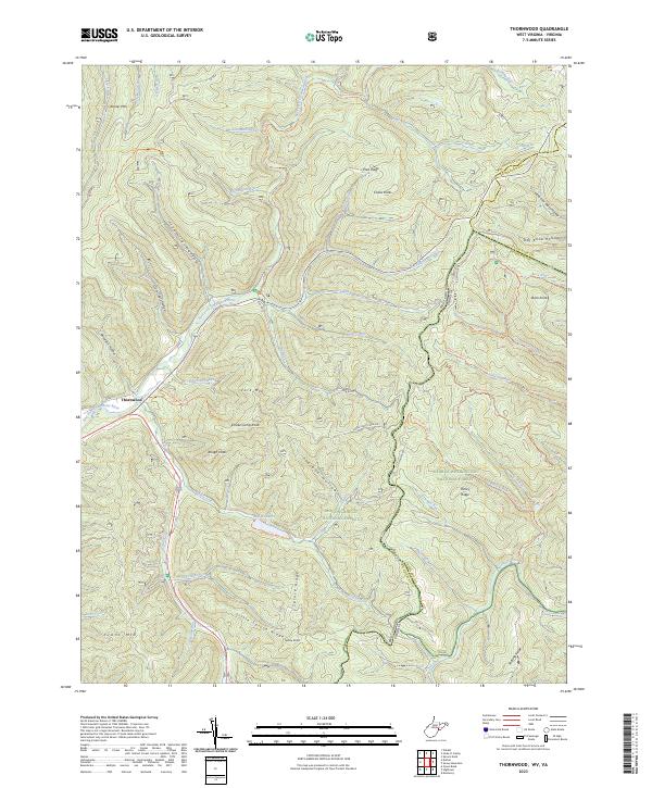 2023 Thornwood2023 Print · USGSThornwood and the surrounding highlands are documented here in the early twenty-first century as the two national forests converge. Genealogists and hikers can trace remote landmarks like Buffalo Lake, the Rothkugel Trl, and the high peaks of Smoke Camp Knob.
End of results
Showing maps 1-14 of 14
Top cities near Thornwood
- Mill Creek historical maps
- Valley Bend historical maps
- East Dailey historical maps
- Durbin historical maps
- Monterey historical maps
Frequently asked questions
- What are the different types of historical maps available for Thornwood?
- What is the oldest map of Thornwood?
- Where can I purchase historical maps of Thornwood for my home or office?
- Where can I download high-res historical maps of Thornwood?
- Are there historical topographic maps available for Thornwood?
- Is there historical aerial imagery available for Thornwood?
- Where are historical maps of Thornwood sourced from?