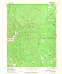
1969 Map of Thornwood
USGS Topo · Published 1971About this map
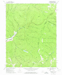
The East Fork Greenbrier River carves through the center of this terrain, where the high ridges of the Alleghenies meet along the West Virginia and Virginia border. In the late 1960s, this landscape was defined by the intersection of the Monongahela National Forest and the George Washington National Forest. The small settlement of Thornwood serves as a primary point of human activity near the junction of the East Fork and the river, while the Buffalo Fork Dam creates a notable water feature to the south near Little Spruce Run.
Find a feature on this map
69 named features on this map. Tap any name to fly to it.
Don’t see what you’re looking for? This feature index may not catch every label — zoom into the map to look around manually.
Map Details
Editions of this 1969 Thornwood Map
2 editions found
Other maps of this area

1889 · Beverly
USGS Topo · 1:125,000

1892 · Beverly
USGS Topo · 1:125,000

1901 · Monterey
USGS Topo · 1:125,000

1922 · Spruce Knob
USGS Topo · 1:48,000

1922 · Cass
USGS Topo · 1:48,000

1922 · Durbin
USGS Topo · 1:48,000

1924 · Cass
USGS Topo · 1:62,500

1924 · Durbin
USGS Topo · 1:62,500

1924 · Spruce Knob
USGS Topo · 1:62,500

1941 · Monterey
USGS Topo · 1:62,500