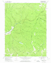
1969 Map of Thornwood
USGS Topo · Published 1975About this map
Thornwood sits at the western edge of this West Virginia landscape, located where the Greenbrier River meets the East Fork Greenbrier River. The terrain is defined by high elevations and deep valleys, including the slopes of Burner Mountain, Greenbank Mountain, and Frank Mountain. This mid-century survey captures a region managed largely by the Monongahela National Forest and George Washington National Forest, where resource management is evident through features like the Buffalo Fork Dam and scattered gas wells. Recreation and timber culture are represented by Camp Pocahontas and several campgrounds and picnic areas. Local history and genealogy interests are anchored by the small Cem near the river and the presence of family-named landmarks such as Colaw Knob and Mullenax Run. The map also details the winding state and national forest boundaries between Pocahontas, Pendleton, and Highland counties along the West Virginia and Virginia border.
Find a feature on this map
57 named features on this map. Tap any name to fly to it.
Don’t see what you’re looking for? This feature index may not catch every label — zoom into the map to look around manually.
Map Details
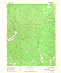
Editions of this 1969 Thornwood Map
2 editions found
Other maps of this area

1889 · Beverly
USGS Topo · 1:125,000

1892 · Beverly
USGS Topo · 1:125,000

1901 · Monterey
USGS Topo · 1:125,000

1922 · Spruce Knob
USGS Topo · 1:48,000

1922 · Cass
USGS Topo · 1:48,000

1922 · Durbin
USGS Topo · 1:48,000

1924 · Cass
USGS Topo · 1:62,500

1924 · Durbin
USGS Topo · 1:62,500

1924 · Spruce Knob
USGS Topo · 1:62,500

1941 · Monterey
USGS Topo · 1:62,500