Old Maps of Sully, West Virginia for Genealogy
Trace your family roots with 14 historic maps of Sully. These high-res maps reveal old neighborhoods, homesites, landmarks, and streets — helping you uncover where your ancestors lived and how the area evolved over time.
- Explore historic neighborhoods: Identify where your relatives may have lived in the 1800s or 1900s.
- Compare maps over time: Trace the changes in streets, buildings, and landmarks for multi-generational research.
- Perfect for genealogy & ancestry research: Used by family historians and researchers to map out lineage and migration.
These maps are an incredible resource for exploring your personal connection to Sully's past.
Sully, WV maps
(14)- 1889 Map of Beverly
 1889 Beverly1889 Print · USGSThe high Allegheny ridges and river forks of West Virginia are mapped here in the late 1880s, highlighting the rugged settlement patterns of Randolph and Pocahontas counties. Researchers can trace early family-named locations such as Days Mills, locate the Boundary Line In Dispute, and find remote outposts like Traveller's Repose.
 - 1892 Map of Beverly
 1892 Beverly1892 Print · USGSCentral West Virginia's high-mountain settlements and disputed county lines are captured here in the late nineteenth century. Genealogists and historians can trace family locations and early industry near Beverly, Huttonsville, and the remote Days Mills.5 unique versions available
 - 1922 Map of Horton
 1922 Horton1922 Print · USGSThe West Virginia highlands in the early twenties were a landscape of mountain timber towns and isolated valley schools. Genealogists can trace family names at Little Italy or Evenwood, and locate rural landmarks like Bethel Church and Mylius School.2 unique versions available
 - 1924 Map of Horton
 1924 Horton1924 Print · USGSRandolph and Tucker Counties were at the height of their rail-and-timber era in the early twenties. Researchers can trace family sites like Little Italy, industrial hubs at Whitmer, and rural landmarks such as Bethel Church or the Mylius School.2 unique versions available
 - 1949 Map of Charlottesville
 1949 Charlottesville1949 Print · USGSThe Shenandoah Valley and Blue Ridge appear in the late 1940s as a thriving corridor of rail and river commerce. Researchers can trace the mid-century footprints of Harrisonburg, Staunton, and Culpeper alongside the historic routes of the Southern Railway.2 unique versions available
 - 1956 Map of Charlottesville, 1966 Print
 1956 Charlottesville1966 Print · USGSThe Shenandoah Valley and Blue Ridge are captured in detail during the mid-1960s as the modern interstate system began to emerge. Genealogists and historians can trace rail-connected hubs like Waynesboro or follow the river paths of the Rapidan River and Rivanna River.4 unique versions available
 - 1968 Map of Harman, 1971 Print
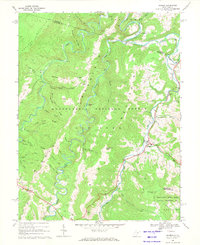 1968 Harman1971 Print · USGSHigh in the Alleghenies during the late sixties, the settlements of Harman and Jenningston sit along the winding DRY FORK river. Genealogists can trace family landmarks including Riverside Ch and numerous local cemeteries tucked between Shavers Mountain and Laurel Mountain.3 unique versions available
 - 1981 Map of Elkins, 1983 Print
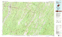 1981 Elkins1983 Print · USGSThe West Virginia mountains in the early eighties were a hub of rail-based industry and emerging conservation lands. Genealogists and historians can trace the paths of the Western Maryland RR through Elkins and locate small upland communities like Harpertown, Bowden, and Wymer.
 - 1995 Map of Harman, 1998 Print
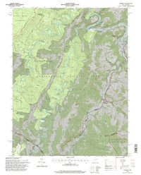 1995 Harman1998 Print · USGSRandolph and Tucker counties in the mid-1990s show a region of high mountain ridges and river-bottom settlements. Genealogists and hikers can trace the winding Dry Fork, locate the Riverside Ch, and explore trails through the Otter Creek Wilderness.2 unique versions available
 - 2011 Map of Harman, 2011 Print
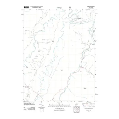 2011 Harman2011 Print · USGSThe mountain valleys of Randolph County appear in detail here during the early 2010s, showing the enduring character of its river settlements. Genealogists and historians can trace family-named sites like Kerns Cemetery and the Dry Fork Post Office along the Glady Fork.
 - 2014 Map of Harman, 2014 Print
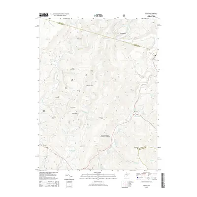 2014 Harman2014 Print · USGSHarman and the surrounding highlands of Randolph County appear in this 2014 survey as a landscape of mountain ridges and family farms. Researchers can locate remote burial sites at Kerns Cem and trace historic property boundaries through namesake features like Jasper Yokum Farm Springs and George Tyson Farm Spring.
 - 2016 Map of Harman, 2016 Print
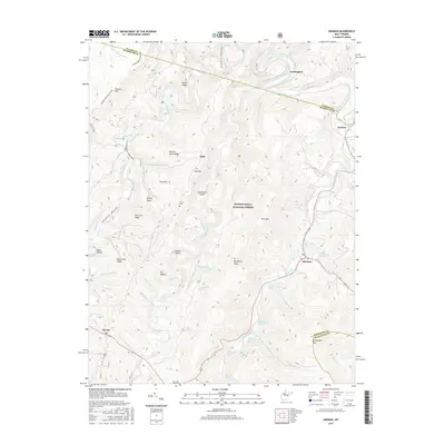 2016 Harman2016 Print · USGSHarman and the high ridges of the Monongahela National Forest are captured here in the mid-2010s. Local historians can trace family-named sites like Jasper Yokum Farm Springs and Kerns Cem, or follow the trails atop Shavers Mtn.
 - 2019 Map of Harman, 2019 Print
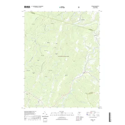 2019 Harman2019 Print · USGSHighland settlements in Randolph County are documented in the late 2010s as they follow the winding paths of the Dry Fork and Laurel Fork. Local historians can trace family farmsteads and rural burial sites like Kerns Cem and the Jasper Yokum Farm Springs.
 - 2023 Map of Harman, 2023 Print
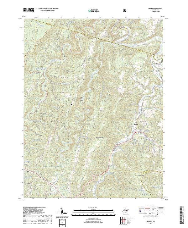 2023 Harman2023 Print · USGSRandolph County's high mountain valleys are documented here in the early 2020s, showing the intersection of wilderness and remote settlement. Local historians can locate family landmarks like Kerns Cem and Dr Bucher Spring or trace old paths through the Otter Creek Wilderness.
End of results
Showing maps 1-14 of 14
Top cities near Sully
- Parsons historical maps
- Davis historical maps
- Thomas historical maps
- Hendricks historical maps
- Hambleton historical maps
- Harman historical maps
Frequently asked questions
- What are the different types of historical maps available for Sully?
- What is the oldest map of Sully?
- Where can I purchase historical maps of Sully for my home or office?
- Where can I download high-res historical maps of Sully?
- Are there historical topographic maps available for Sully?
- Is there historical aerial imagery available for Sully?
- Where are historical maps of Sully sourced from?