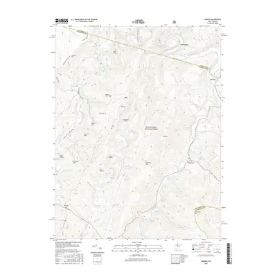
2016 Map of Harman
USGS Topo · Published 2016About this map
The mountain settlement of Harman serves as a focal point in this high-elevation portion of the Monongahela National Forest. Situated where Dry Fork meets Horsecamp Run, the community is surrounded by a complex system of ridges and hollows, including Rich Mtn and Brushheap Knob. The landscape is defined by the parallel courses of Glady Fork and Laurel Fork, which flow through the western and central portions of the quadrangle respectively.
Find a feature on this map
64 named features on this map. Tap any name to fly to it.
Don’t see what you’re looking for? This feature index may not catch every label — zoom into the map to look around manually.
Map Details
Editions of this 2016 Harman Map
This is the sole edition of this map. No revisions or reprints were ever made.
Other maps of this area

1886 · St. George
USGS Topo · 1:125,000

1889 · Beverly
USGS Topo · 1:125,000

1891 · St. George
USGS Topo · 1:125,000

1892 · Beverly
USGS Topo · 1:125,000

1892 · Franklin
USGS Topo · 1:125,000

1895 · Piedmont
USGS Topo · 1:125,000

1896 · Franklin
USGS Topo · 1:125,000

1908 · Parsons
USGS Topo · 1:62,500

1916 · Davis
USGS Topo · 1:48,000

1918 · Davis
USGS Topo · 1:62,500