Old Maps of Ritchie County, West Virginia
Explore 46 old maps of Ritchie County, spanning from 1904 to today. These high-resolution historic maps reveal how streets, neighborhoods, landmarks, and natural features evolved over time — perfect for genealogy, metal detecting, research, and local history exploration.
What you can do with these maps:
- See how Ritchie County changed over time: Compare historical maps to modern-day views to trace roads, homesites, rail lines & more.
- View detailed metadata: Each map includes creators, publishers, year, scale, and archive source.
- Overlay maps with satellite & LiDAR: Visualize the past alongside modern tools to explore terrain & human change.
- Trusted historical sources: Maps sourced from the USGS, Library of Congress, and other archives.
- Access maps your way: View online, download high-res files, or order prints for personal or research use.
Start exploring old maps of Ritchie County to uncover forgotten places, hidden landmarks, and the deep history beneath your feet.
Ritchie County, WV maps
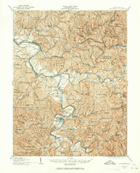
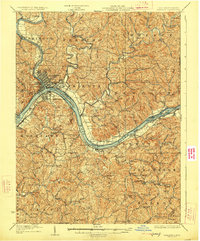
(46)- 1904 Map of Marietta, 1923 Print
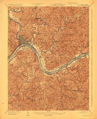 1904 Marietta1923 Print · USGSCovers Ritchie County, including Marietta, Williamstown, and other nearby areas
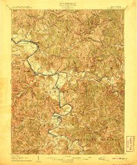
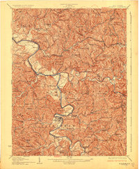
 - 1905 Map of West Union
 1905 West Union1905 Print · USGSCovers Ritchie County, including Pennsboro, Middlebourne, and other nearby areas2 unique versions available
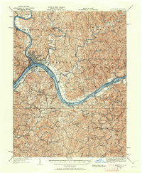
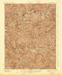
 - 1906 Map of Saint Marys
 1906 Saint Marys1906 Print · USGSCovers Ritchie County, including Newport, Pennsboro, and other nearby areas3 unique versions available
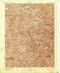
 - 1906 Map of Holbrook
 1906 Holbrook1906 Print · USGSCovers Ritchie County, including Pullman, Auburn, and other nearby areas2 unique versions available
 - 1906 Map of Elizabeth
 1906 Elizabeth1906 Print · USGSCovers Ritchie County, including Elizabeth, Petroleum, and other nearby areas2 unique versions available
 - 1907 Map of Harrisville
 1907 Harrisville1907 Print · USGSCovers Ritchie County, including Harrisville, Cairo, and other nearby areas2 unique versions available
 - 1924 Map of St Marys, 1956 Print
 1924 St Marys1956 Print · USGSCovers Ritchie County, including Newport, Pennsboro, and other nearby areas
 - 1924 Map of Harrisville, 1957 Print
 1924 Harrisville1957 Print · USGSCovers Ritchie County, including Harrisville, Cairo, and other nearby areas
 - 1924 Map of West Union, 1961 Print
 1924 West Union1961 Print · USGSCovers Ritchie County, including Pennsboro, Middlebourne, and other nearby areas
 - 1924 Map of Holbrook, 1961 Print
 1924 Holbrook1961 Print · USGSCovers Ritchie County, including Pullman, Auburn, and other nearby areas
 - 1924 Map of Marietta, 1962 Print
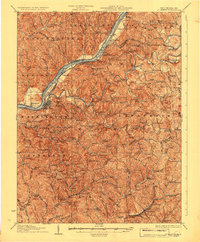
 1924 Marietta1962 Print · USGSCovers Ritchie County, including Marietta, Williamstown, and other nearby areas
 - 1924 Map of Elizabeth, 1965 Print
 1924 Elizabeth1965 Print · USGSCovers Ritchie County, including Elizabeth, Petroleum, and other nearby areas
 - 1926 Map of Elizabeth
 1926 Elizabeth1926 Print · USGSCovers Ritchie County, including Elizabeth, Petroleum, and other nearby areas3 unique versions available
 - 1926 Map of Harrisville
 1926 Harrisville1926 Print · USGSCovers Ritchie County, including Harrisville, Cairo, and other nearby areas
 - 1926 Map of Holbrook
 1926 Holbrook1926 Print · USGSCovers Ritchie County, including Pullman, Auburn, and other nearby areas2 unique versions available
 - 1926 Map of West Union
 1926 West Union1926 Print · USGSCovers Ritchie County, including Pennsboro, Middlebourne, and other nearby areas3 unique versions available
 - 1927 Map of Marietta
 1927 Marietta1927 Print · USGSCovers Ritchie County, including Marietta, Williamstown, and other nearby areas3 unique versions available
 - 1927 Map of Saint Marys
 1927 Saint Marys1927 Print · USGSCovers Ritchie County, including Newport, Pennsboro, and other nearby areas3 unique versions available
 - 1949 Map of Clarksburg
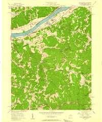
 1949 Clarksburg1949 Print · USGSCovers Ritchie County, including Parkersburg, Zanesville, and other nearby areas
 - 1956 Map of Clarksburg, 1966 Print
 1956 Clarksburg1966 Print · USGSCovers Ritchie County, including Parkersburg, Zanesville, and other nearby areas2 unique versions available
 - 1957 Map of Willow Island, 1958 Print
 1957 Willow Island1958 Print · USGSCovers Ritchie County, including Belmont, Deerwalk, and other nearby areas3 unique versions available
 - 1957 Map of Petroleum, 1958 Print
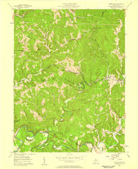 1957 Petroleum1958 Print · USGSCovers Ritchie County, including Petroleum, Freeport, and other nearby areas4 unique versions available
 - 1957 Map of Girta, 1958 Print
 1957 Girta1958 Print · USGSCovers Ritchie County, including Enterprise, Girta, and other nearby areas4 unique versions available
 - 1960 Map of Middlebourne, 1962 Print
 1960 Middlebourne1962 Print · USGSCovers Ritchie County, including Middlebourne, Wick, and other nearby areas2 unique versions available
 - 1961 Map of Clarksburg
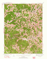
 1961 Clarksburg1961 Print · USGSCovers Ritchie County, including Parkersburg, Zanesville, and other nearby areas
Showing maps 1-25 of 46
Top cities of Ritchie County
- Harrisville historical maps
- Pennsboro historical maps
- Ellenboro historical maps
- Cairo historical maps
- Pullman historical maps
- Auburn historical maps
Frequently asked questions
- What are the different types of historical maps available for Ritchie County?
- What is the oldest map of Ritchie County?
- Where can I purchase historical maps of Ritchie County for my home or office?
- Where can I download high-res historical maps of Ritchie County?
- Are there historical topographic maps available for Ritchie County?
- Is there historical aerial imagery available for Ritchie County?
- Where are historical maps of Ritchie County sourced from?