Old Maps of Hendricks, West Virginia for Metal Detecting
Plan your next treasure hunt with 25 historic maps of Hendricks. Find old homesites, ghost towns, trails, and gathering spots that may be lost to time — perfect for identifying promising metal detecting locations.
- Locate forgotten sites: Uncover places like long-lost settlements, abandoned rail lines, or gathering spots.
- Plan better hunts: Use map overlays combined with LiDAR or satellite views to narrow in on historically rich areas.
- Made for detectorists: Thousands of hobbyists use these maps to discover relics, coins, and hidden history.
Use these historic maps to boost your research and find new opportunities beneath the surface of Hendricks.
Hendricks, WV maps
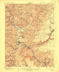
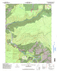
(25)- 1886 Map of St. George
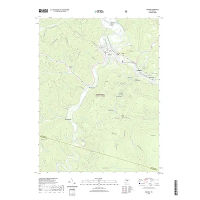
 1886 St. George1886 Print · USGSNorthern West Virginia’s rugged river valleys and early rail corridors are mapped here in the mid-1880s. Genealogists can trace family roots in settlements like St George or Terra Alta, while following the path of the Baltimore and Ohio Railroad.
 - 1891 Map of St. George, 1895 Print
 1891 St. George1895 Print · USGSNorthern West Virginia at the end of the nineteenth century was defined by the expansion of the Baltimore and Ohio Railroad. Genealogists can trace early homesteads and landmarks like Valley Furnace, St George, and Terra Alta.3 unique versions available
 - 1908 Map of Parsons
 1908 Parsons1908 Print · USGSThe West Virginia high country comes to life in this early century survey of the Parsons area. Genealogists and historians can trace the early rail networks of the W M R R and LUMBER R R connecting settlements like Thomas and St George.
 - 1926 Map of Parsons
 1926 Parsons1926 Print · USGSTucker County's industrial valleys and remote mountain ridges come alive in the mid-1920s as the rail-and-river economy boomed. Genealogists and historians can trace the foundations of local life through community hubs like Parsons, Thomas, and numerous rural sites like Macedonia Church and Fairview School.2 unique versions available
 - 1948 Map of Cumberland
 1948 Cumberland1948 Print · USGSMid-century Appalachia and the Shenandoah Valley are shown in detail, documenting the industrial and transportation hubs of the tri-state area. Genealogists can trace family roots through settlements like Double Tollgate and Bunker Hill or along the Baltimore & Ohio RR.3 unique versions available
 - 1952 Map of Cumberland
 1952 Cumberland1952 Print · USGSThe Potomac Highlands and the Shenandoah Valley are revealed in this early 1950s survey of the Appalachian interior. Researchers can trace the river-and-rail corridors connecting Cumberland, Winchester, and the recreational waters of Deep Creek Lake.
 - 1956 Map of Cumberland, 1966 Print
 1956 Cumberland1966 Print · USGSThe tri-state Highlands in the mid-1950s show a landscape shaped by coal, timber, and the massive presence of the Baltimore & Ohio RR. Researchers can trace the industrial corridor from Cumberland through the Allegheny Mountains to mountain retreats like Deep Creek Lake.6 unique versions available
 - 1957 Map of Cumberland
 1957 Cumberland1957 Print · USGSThe Potomac River valley and the ridges of the Allegheny Front define this mid-century landscape at the intersection of Maryland, West Virginia, and Pennsylvania. Trace the steam-era rail lines of the Baltimore and Ohio RR or locate rural landmarks like St Stephens Church and Stony River Dam.
 - 1961 Map of Cumberland
 1961 Cumberland1961 Print · USGSThe tri-state highlands of Maryland, West Virginia, and Pennsylvania are shown in the mid-twentieth century as a complex landscape of ridges and river valleys. Researchers can trace the winding Potomac River and find old rail-and-river towns like Cumberland, Keyser, and Morgantown.
 - 1962 Map of Cumberland
 1962 Cumberland1962 Print · USGSThe central Appalachians meet at the height of the mid-century industrial era, showing the rugged topography between Morgantown and Winchester. Genealogists can trace family lands near Fort Necessity or along the vital Baltimore & Ohio RR corridors.
 - 1968 Map of Parsons, 1971 Print
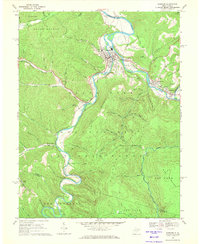 1968 Parsons1971 Print · USGSThe river valleys of Tucker County converge in the late 1960s at Parsons, where the railroad and mountain waters meet. Genealogists and historians can trace family burial sites like Hamrick Cem, local landmarks such as Irons Chapel, and the industrial path of the Western Maryland railway.2 unique versions available
 - 1968 Map of Mozark Mountain, 1972 Print
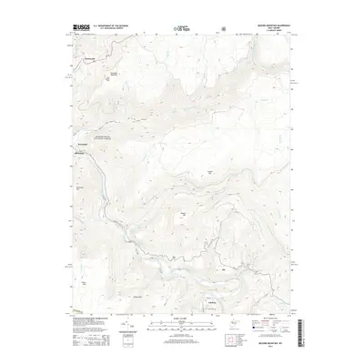
 1968 Mozark Mountain1972 Print · USGSTucker County during the late sixties is a landscape of industrial transit and Appalachian wilderness where the Blackwater River cuts through the forest. Genealogists and local historians can trace family locations near Hendricks, Elk, and Brights Chapel.2 unique versions available
 - 1981 Map of Kingwood, 1982 Print
 1981 Kingwood1982 Print · USGSThe West Virginia highlands in the early eighties were a hub of mountain railroading and wilderness conservation. Trace the path of the Baltimore & Ohio RR through Kingwood or explore the early footprints of Canaan Valley State Park and Dolly Sods.
 - 1995 Map of Parsons, 1998 Print
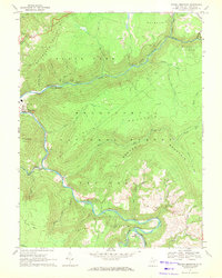
 1995 Parsons1998 Print · USGSTucker County mountain life is centered on the forks of the Cheat River in the mid-nineties. Genealogists and historians can locate family-named sites like Irons Chapel, Hamrick Sch, and Collett Cem among the reaches of the Otter Creek Wilderness.2 unique versions available
 - 1995 Map of Mozark Mountain, 1998 Print
 1995 Mozark Mountain1998 Print · USGSTucker County during the mid-1990s reveals a landscape defined by the convergence of mountain forks and deep wilderness protection. Genealogists and hikers can trace the connections between the riverside settlement of Hendricks, the remote community of Gladwin, and landmarks like Brights Chapel.2 unique versions available
 - 2011 Map of Parsons, 2011 Print
 2011 Parsons2011 Print · USGSCovers Hendricks, including Parsons, Hambleton, and other nearby areas
 - 2011 Map of Mozark Mountain, 2011 Print
 2011 Mozark Mountain2011 Print · USGSCovers Hendricks, including Thomas, Elk, and other nearby areas
 - 2014 Map of Parsons, 2014 Print
 2014 Parsons2014 Print · USGSCovers Hendricks, including Parsons, Hambleton, and other nearby areas
 - 2014 Map of Mozark Mountain, 2014 Print
 2014 Mozark Mountain2014 Print · USGSCovers Hendricks, including Thomas, Elk, and other nearby areas
 - 2016 Map of Parsons, 2016 Print
 2016 Parsons2016 Print · USGSCovers Hendricks, including Parsons, Hambleton, and other nearby areas
 - 2016 Map of Mozark Mountain, 2016 Print
 2016 Mozark Mountain2016 Print · USGSCovers Hendricks, including Thomas, Elk, and other nearby areas
 - 2019 Map of Parsons, 2019 Print
 2019 Parsons2019 Print · USGSCovers Hendricks, including Parsons, Hambleton, and other nearby areas
 - 2019 Map of Mozark Mountain, 2019 Print
 2019 Mozark Mountain2019 Print · USGSCovers Hendricks, including Thomas, Elk, and other nearby areas
 - 2023 Map of Parsons, 2023 Print
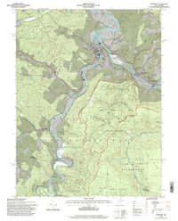
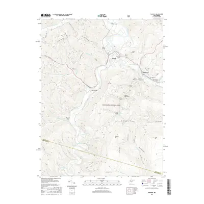
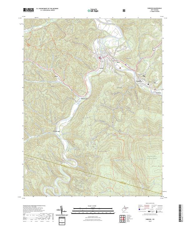 2023 Parsons2023 Print · USGSThe river forks of West Virginia's high country come alive in this modern survey of the Parsons area. Researchers can trace family history through the Tucker County Courthouse or local burial sites like Goff Cem and McNeely Cem near the Cheat River.
 - 2023 Map of Mozark Mountain, 2023 Print
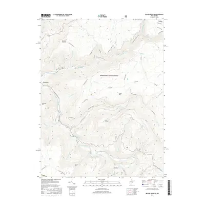
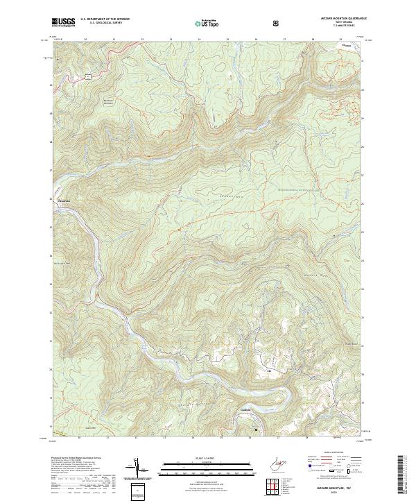 2023 Mozark Mountain2023 Print · USGSTucker County's high ridges and river forks are captured here in the early 2020s, showing a landscape defined by forest and trail. Researchers can locate the Teter Cem and trace old routes like the Railroad Grade Trl near Hendricks.
End of results
Showing maps 1-25 of 25
Top cities near Hendricks
- Elkins historical maps
- Parsons historical maps
- Beverly historical maps
- Davis historical maps
- Thomas historical maps
- Hambleton historical maps
See more
Top neighborhoods of Hendricks
Frequently asked questions
- What are the different types of historical maps available for Hendricks?
- What is the oldest map of Hendricks?
- Where can I purchase historical maps of Hendricks for my home or office?
- Where can I download high-res historical maps of Hendricks?
- Are there historical topographic maps available for Hendricks?
- Is there historical aerial imagery available for Hendricks?
- Where are historical maps of Hendricks sourced from?