2000s (21st Century) Maps of Wood County, West Virginia
Explore 32 historic maps of Wood County from the 2000s (21st Century). These maps offer a rare glimpse into what life looked like during the 2000s — showing old roads, neighborhoods, homes, and landmarks that have changed or disappeared over time.
Whether you're researching your family's past, planning a metal detecting trip, or studying how Wood County's landscape evolved across the 2000s, these high-resolution maps are a powerful tool for exploring the history of this region.
- Focus on a specific era: All maps on this page are from the 2000s, giving you a focused view of this time period.
- See what’s changed: Compare century-old streets, trails, and buildings to today's modern landscape using overlays and satellite layers.
- Research with precision: Use these maps for genealogy, historical research, land use analysis, or educational projects.
- View, download, or print: Maps are fully viewable online in high resolution, and can be downloaded or printed for your own records.
Start exploring Wood County's history through authentic maps from the 2000s. This is your window into the past.
Wood County, WV maps
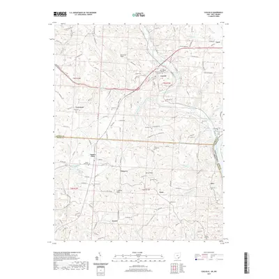
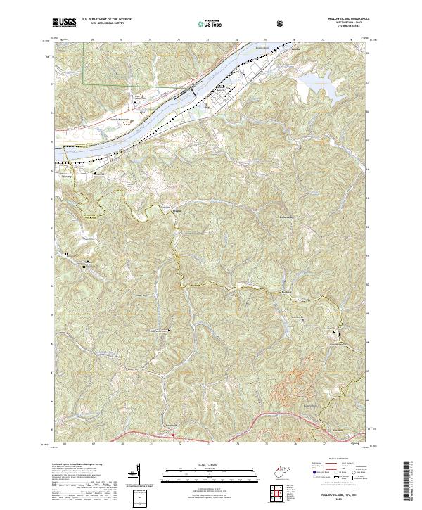
(32)- 2002 Map of Willow Island, 2006 Print
 2002 Willow Island2006 Print · USGSPleasants and Wood Counties come together along the Ohio River during the early 2000s, showcasing a landscape of heavy river locks and rural ridge-top homesteads. Genealogists and local historians can trace family-named sites like Pumpkin Knob Sch, Harness Ch, and the small settlement of Newlandsville.
 - 2010 Map of Fleming, 2010 Print
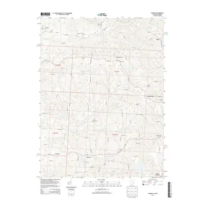
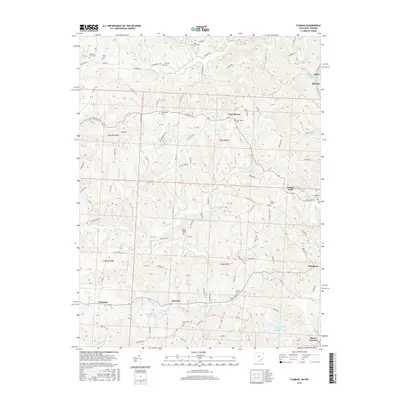
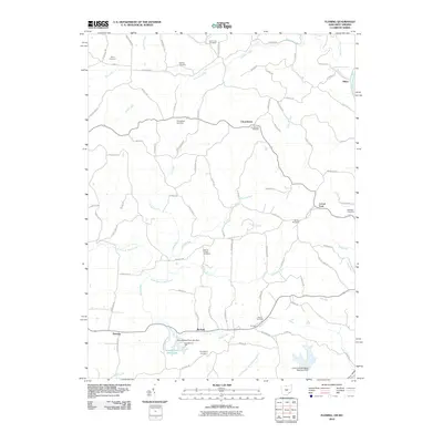 2010 Fleming2010 Print · USGSCovers Wood County, including Locust Fork, Fleming, and other nearby areas
 - 2010 Map of Little Hocking, 2010 Print
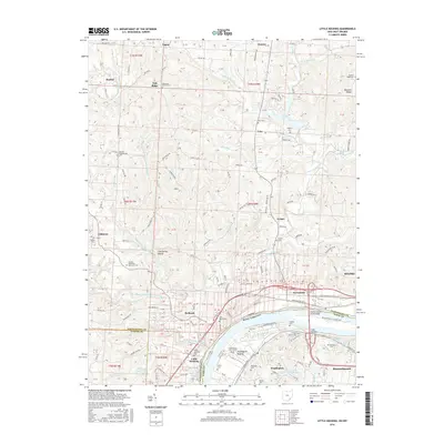
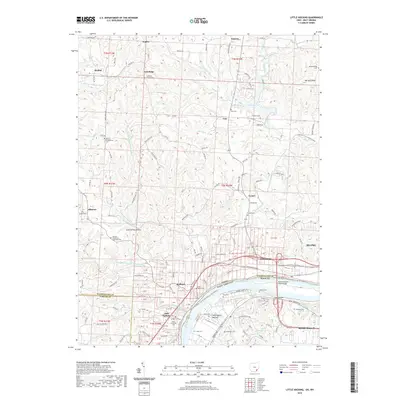
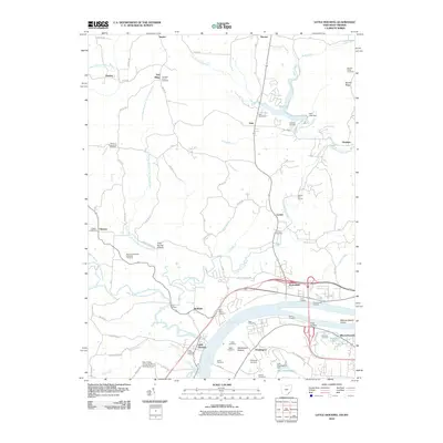 2010 Little Hocking2010 Print · USGSCovers Wood County, including Belpre, Dunham, and other nearby areas
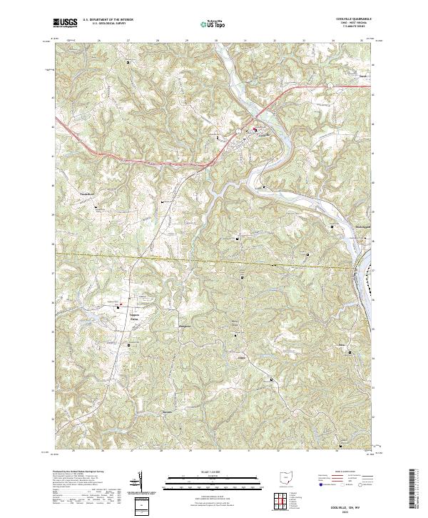
 - 2011 Map of Coolville, 2011 Print
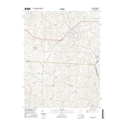
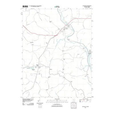 2011 Coolville2011 Print · USGSCovers Wood County, including Coolville, Success, and other nearby areas
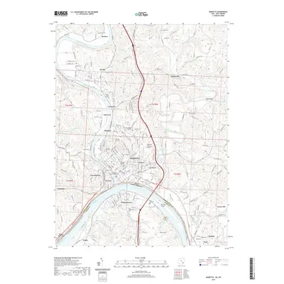
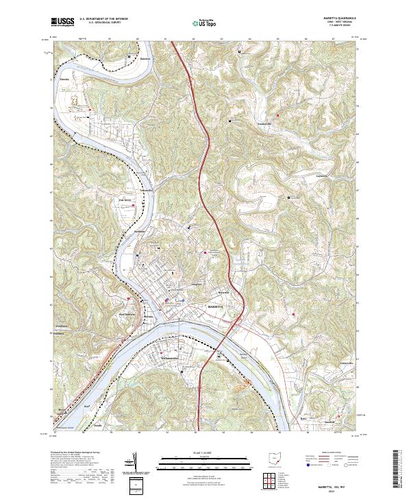
 - 2011 Map of Marietta, 2011 Print
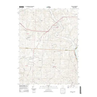
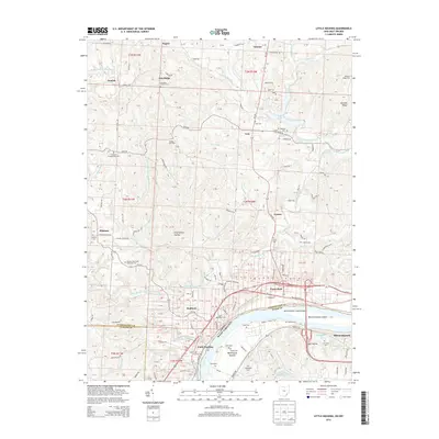
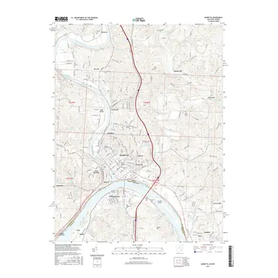
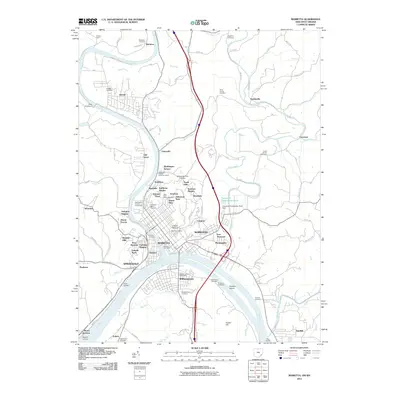 2011 Marietta2011 Print · USGSCovers Wood County, including Marietta, Williamstown, and other nearby areas
 - 2013 Map of Coolville, 2013 Print
 2013 Coolville2013 Print · USGSCovers Wood County, including Coolville, Success, and other nearby areas
 - 2013 Map of Fleming, 2013 Print
 2013 Fleming2013 Print · USGSCovers Wood County, including Locust Fork, Fleming, and other nearby areas
 - 2013 Map of Marietta, 2013 Print
 2013 Marietta2013 Print · USGSCovers Wood County, including Marietta, Williamstown, and other nearby areas
 - 2013 Map of Little Hocking, 2013 Print
 2013 Little Hocking2013 Print · USGSCovers Wood County, including Belpre, Dunham, and other nearby areas
 - 2016 Map of Fleming, 2016 Print
 2016 Fleming2016 Print · USGSCovers Wood County, including Locust Fork, Fleming, and other nearby areas
 - 2016 Map of Marietta, 2016 Print
 2016 Marietta2016 Print · USGSCovers Wood County, including Marietta, Williamstown, and other nearby areas
 - 2016 Map of Little Hocking, 2016 Print
 2016 Little Hocking2016 Print · USGSCovers Wood County, including Belpre, Dunham, and other nearby areas
 - 2016 Map of Coolville, 2016 Print
 2016 Coolville2016 Print · USGSCovers Wood County, including Coolville, Success, and other nearby areas
 - 2019 Map of Coolville, 2019 Print
 2019 Coolville2019 Print · USGSCovers Wood County, including Coolville, Success, and other nearby areas
 - 2019 Map of Marietta, 2019 Print
 2019 Marietta2019 Print · USGSCovers Wood County, including Marietta, Williamstown, and other nearby areas
 - 2019 Map of Fleming, 2019 Print
 2019 Fleming2019 Print · USGSCovers Wood County, including Locust Fork, Fleming, and other nearby areas
 - 2019 Map of Little Hocking, 2019 Print
 2019 Little Hocking2019 Print · USGSCovers Wood County, including Belpre, Dunham, and other nearby areas
 - 2023 Map of Willow Island, 2023 Print
 2023 Willow Island2023 Print · USGSThe Ohio River valley and its dissected eastern ridges come to life in this contemporary survey of Pleasants and Wood Counties. Genealogists can trace family names through numerous remote burial sites like McMullen Cem and landmarks such as the Middle Ridge Baptist Church.
 - 2023 Map of Coolville, 2023 Print
 2023 Coolville2023 Print · USGSThe Hocking River valley comes to life in this detailed view of the Athens Co and Meigs Co borderlands. Researchers can trace numerous family-named landmarks and burial sites like the Old Coolville Cemetery and White Chapel Cemetery.
 - 2023 Map of Marietta, 2023 Print
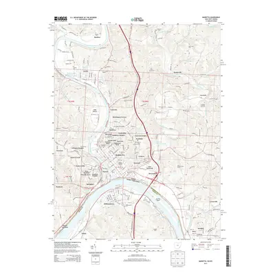
 2023 Marietta2023 Print · USGSThe confluence of the Ohio and Muskingum Rivers is captured in this modern survey of Southeast Ohio and West Virginia. Genealogists and historians can trace numerous burial grounds and civic landmarks, from the Conus Mound and Mound Cem to the Washington County Courthouse.
 - 2023 Map of Petroleum, 2023 Print
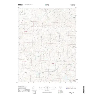
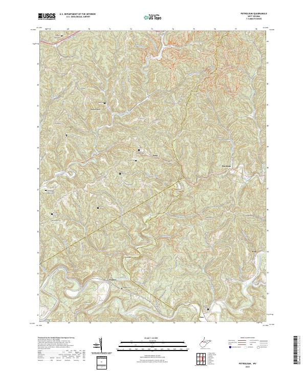 2023 Petroleum2023 Print · USGSThe borderlands of Wood, Wirt, and Ritchie Counties come alive in this modern survey of the historic West Virginia hill country. Researchers can trace ancestral roots at the Greenhill Catholic Cem or follow the old Staunton Tpke as it winds toward Freeport and Petroleum.
 - 2023 Map of Parkersburg, 2023 Print
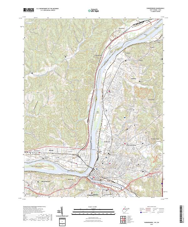 2023 Parkersburg2023 Print · USGSThe riverfront communities of West Virginia and Ohio converge at the mid-century mark in this detailed survey. Genealogists can trace family names at Spencer Cem, Ogden Cem, and Rockland Cem, while the industrial history of Parkersburg is visible along the CSX TRANSPORTATION lines.
 - 2023 Map of Schultz, 2023 Print
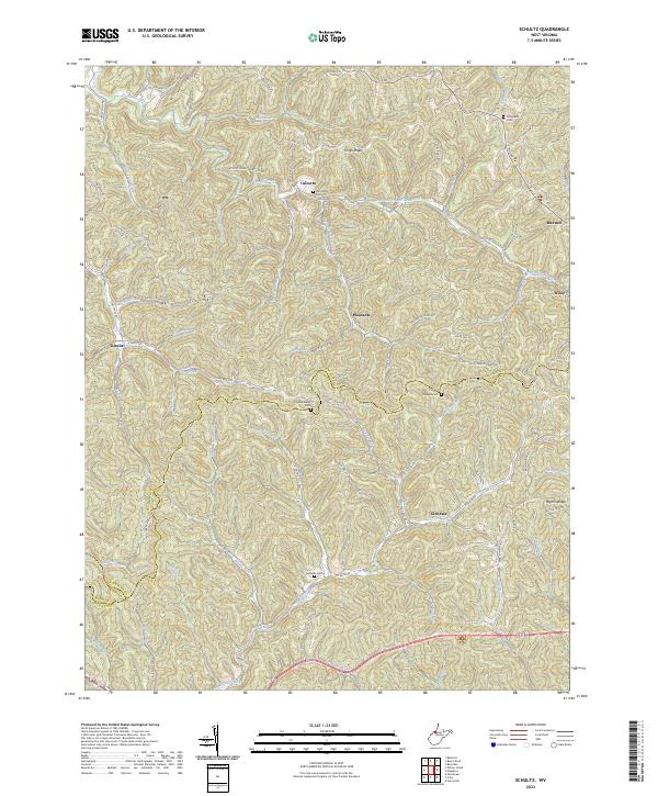 2023 Schultz2023 Print · USGSPleasants and Ritchie counties are shown in this modern survey of West Virginia's hollows and ridges. Researchers can locate remote family landmarks such as Bills Family Cem, Cloverdale Cem, and the small settlement of Calcutta.
 - 2023 Map of Rockport, 2023 Print
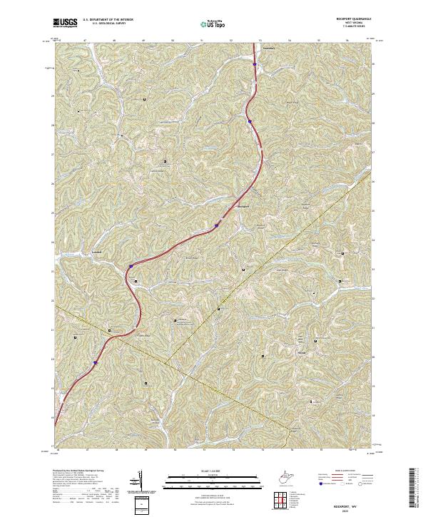 2023 Rockport2023 Print · USGSThe Wood and Jackson County borderlands are shown here in the 2020s, a landscape defined by high ridges and tight valley communities. Researchers can locate numerous family burial sites and rural congregations, including Lowdell Cem, Mount Moriah Cem, and the Central Church of Christ Cem.
 - 2023 Map of Elizabeth, 2023 Print
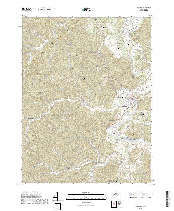 2023 Elizabeth2023 Print · USGSThe Little Kanawha River valley in Wirt County comes into sharp focus here during the early twenty-first century. Genealogists and local historians can trace family roots through numerous upland burial grounds like Antioch Cem and Grandview Cem, or locate landmarks in the county seat such as the Wirt County Courthouse.
Showing maps 1-25 of 32
Top cities of Wood County
- Parkersburg historical maps
- Vienna historical maps
- Blennerhassett historical maps
- Williamstown historical maps
Frequently asked questions
- What are the different types of historical maps available for Wood County?
- What is the oldest map of Wood County?
- Where can I purchase historical maps of Wood County for my home or office?
- Where can I download high-res historical maps of Wood County?
- Are there historical topographic maps available for Wood County?
- Is there historical aerial imagery available for Wood County?
- Where are historical maps of Wood County sourced from?