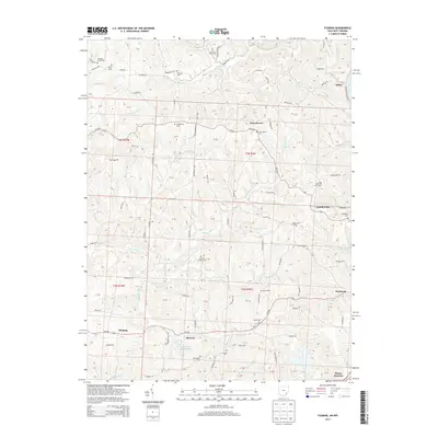
2013 Map of Fleming
USGS Topo · Published 2013About this map
Churchtown and Fleming anchor this 2013 survey of rural Washington County, Ohio, where the drainage of Rainbow Cr and Turkeyhen Run defines the land's use. The area is characterized by high ridges such as Pineridge and Bosner Ridge Road, hosting several significant family and community burial grounds including Saint John Cem, Henry Cem, and Deming Cem. Agricultural operations like Langs Buckeye Dairy Farm and Coffmans Farms persist alongside scattered settlements like Locust Fork and McAvan. The network of backroads, including Rauch Road and Schott Road, connects these upland communities to the Muskingum River valley near Alden. This map reveals a landscape still deeply rooted in its 19th-century settlement patterns, evidenced by the high concentration of churches and cemeteries serving isolated ridge-top hamlets.
Find a feature on this map
87 named features on this map. Tap any name to fly to it.
Don’t see what you’re looking for? This feature index may not catch every label — zoom into the map to look around manually.
Map Details
Editions of this 2013 Fleming Map
This is the sole edition of this map. No revisions or reprints were ever made.
Other maps of this area

1902 · Parkersburg
USGS Topo · 1:62,500

1903 · Macksburg
USGS Topo · 1:62,500

1904 · Parkersburg
USGS Topo · 1:62,500

1904 · Marietta
USGS Topo · 1:62,500

1905 · Macksburg
USGS Topo · 1:62,500

1909 · Caldwell
USGS Topo · 1:62,500

1912 · Caldwell
USGS Topo · 1:62,500

1924 · Marietta
USGS Topo · 1:62,500

1927 · Marietta
USGS Topo · 1:62,500

1949 · Clarksburg
USGS Topo · 1:250,000