2010s Maps of Wood County, West Virginia
Explore 60 historic maps of Wood County from the 2010s. These maps offer a rare glimpse into what life looked like during the 2010s — showing old roads, neighborhoods, homes, and landmarks that have changed or disappeared over time.
Whether you're researching your family's past, planning a metal detecting trip, or studying how Wood County's landscape evolved across the 2010s, these high-resolution maps are a powerful tool for exploring the history of this region.
- Focus on a specific era: All maps on this page are from the 2010s, giving you a focused view of this time period.
- See what’s changed: Compare century-old streets, trails, and buildings to today's modern landscape using overlays and satellite layers.
- Research with precision: Use these maps for genealogy, historical research, land use analysis, or educational projects.
- View, download, or print: Maps are fully viewable online in high resolution, and can be downloaded or printed for your own records.
Start exploring Wood County's history through authentic maps from the 2010s. This is your window into the past.
Wood County, WV maps
(60)- 2010 Map of Fleming, 2010 Print
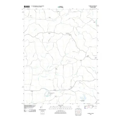 2010 Fleming2010 Print · USGSLocust Fork and Churchtown are seen here in the early twenty-first century, a landscape defined by its deep genealogical roots and rural stream valleys. Researchers can trace numerous family burial grounds including Brabham Cemetery and Henry Cemetery, or locate landmarks like McAvan and Goodfellows Park.
 - 2010 Map of Elizabeth, 2010 Print
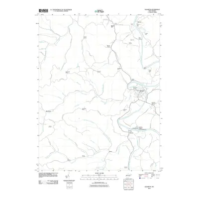 2010 Elizabeth2010 Print · USGSWirt County at the start of the decade shows a landscape of river-bend settlements and upland ridges. Genealogists can locate family burial sites like Beauchamp-Newman Cemetery and landmarks like the Palestine State Fish Hatchery.
 - 2010 Map of Petroleum, 2010 Print
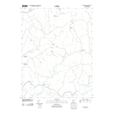 2010 Petroleum2010 Print · USGSRitchie County's oil heritage is etched into the landscape in 2010, from the Volcano Oil Field to the aptly named Petroleum. Researchers can trace local history through a dense concentration of cemeteries like Greenhill Catholic Cemetery and the Mount Olive Cemetery, or locate old river crossings such as Deems Ford.
 - 2010 Map of South Parkersburg, 2010 Print
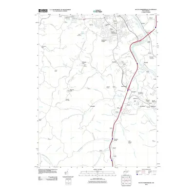 2010 South Parkersburg2010 Print · USGSThe outskirts of Parkersburg and the Little Kanawha River valley are captured in this 2010 survey during a period of modern expansion. Researchers can trace family history through dozens of local sites like Deem Cemetery, Nicolette, and Mount Pleasant United Methodist Church Cemetery.
 - 2010 Map of Kanawha, 2010 Print
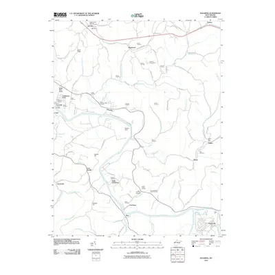 2010 Kanawha2010 Print · USGSWood County at the turn of the decade remains a landscape of river bends and rural family settlements along the Little Kanawha. Genealogists and local historians can trace legacy sites like the Ross-McCardle Cemetery or locate the Walker Post Office near Hanna.
 - 2010 Map of Parkersburg, 2010 Print
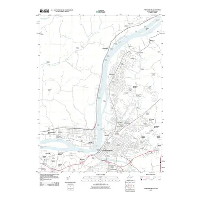 2010 Parkersburg2010 Print · USGSThe riverfront communities of Parkersburg and Vienna are documented here during the early twenty-first century as they span both sides of the Ohio River. Researchers can trace local heritage through sites like Blennerhassett Island, the West Parkersburg Seaplane Base, and the Independent Order of Odd Fellows Cemetery.
 - 2010 Map of Little Hocking, 2010 Print
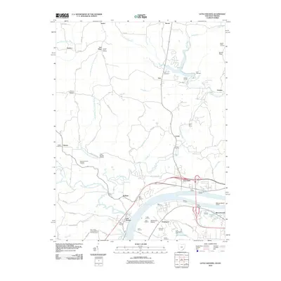 2010 Little Hocking2010 Print · USGSThe Ohio River valley near Belpre comes to life in this detailed study of the riverfront and its interior highlands. Researchers can trace family roots through numerous burial grounds like Quaker Cemetery and Saint Marys Cemetery or locate old river access points at Lewis Landing.
 - 2010 Map of Lubeck, 2010 Print
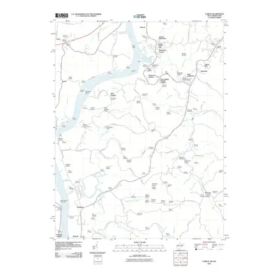 2010 Lubeck2010 Print · USGSThe West Virginia riverfront comes alive in this 2010 survey of the Wood County hills and the busy Ohio River corridor. Genealogists can trace family roots through dozens of sites like Newberry Cemetery, while mapping old river crossings at Harris Ferry and Duttons Landing.
 - 2010 Map of Valley Mills, 2010 Print
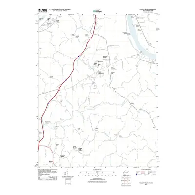 2010 Valley Mills2010 Print · USGSThe Ohio River valley north of Parkersburg comes into focus at the end of the first decade of the 2000s, showing a mix of historic riverfronts and modern hillside subdivisions. Genealogists can locate numerous burial sites including East Lawn Memorial Cemetery and Mount Moriah Church Cemetery, while tracing local landmarks like Valley Mills and Old Posey Landing.
 - 2010 Map of Pond Creek, 2010 Print
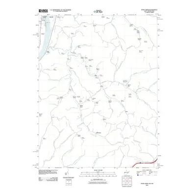 2010 Pond Creek2010 Print · USGSThe West Virginia riverfront near Belleville and Randolph Landing is shown here in the early twenty-first century. Researchers can locate dozens of family burial sites like Isabelle Flinn and Sellers Cemetery along the ridges of Jerrys Run and Pond Creek.
 - 2010 Map of Rockport, 2010 Print
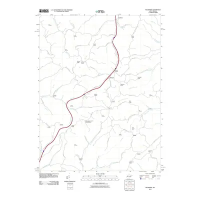 2010 Rockport2010 Print · USGSWood County at the turn of the millennium reveals a landscape of deep-rooted rural communities and family legacies. Genealogists and local researchers can trace historic land use through numerous sites like the Gant Cemetery, Nicholas Hollow, and the settlement of Rockport.
 - 2011 Map of Schultz, 2011 Print
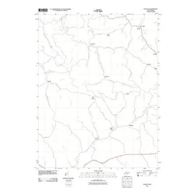 2011 Schultz2011 Print · USGSPleasants County's ridge-and-hollow landscape is meticulously detailed here in the early twenty-first century. Researchers can locate remote upland settlements like Schultz and Calcutta or trace family lineages through the Douglas Cemetery and Layfields Cemetery.
 - 2011 Map of Coolville, 2011 Print
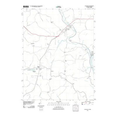 2011 Coolville2011 Print · USGSSoutheast Ohio's river valleys and ridgelines are mapped in detail here as the new millennium began. Researchers can trace rural lineages through sites like Fairview Cemetery, the settlement of Tuppers Plains, and the riverfront at Hockingport.
 - 2011 Map of Marietta, 2011 Print
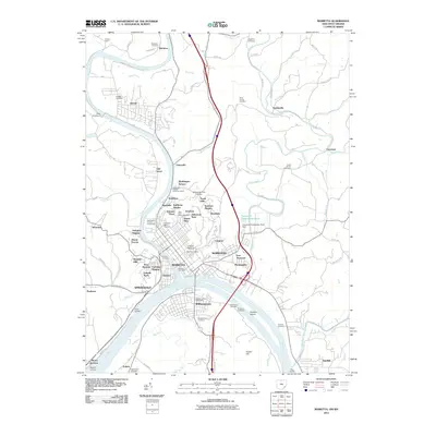 2011 Marietta2011 Print · USGSThe confluence of the Muskingum and Ohio Rivers serves as the centerpiece for this study of Marietta and Williamstown in the early twenty-first century. Researchers can trace ancestral sites through local landmarks like Mound Cemetery, the ancient Conus Mound, and family-named landings such as Eisners Landing.
 - 2011 Map of Willow Island, 2011 Print
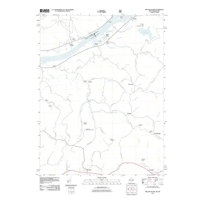 2011 Willow Island2011 Print · USGSThe Ohio River valley and its surrounding ridges appear here in the early twenty-first century, centered on the vital Willow Island Locks and Dam. Researchers can locate numerous family burial sites like Corbin Cemetery and trace the rural hamlets of Deerwalk, Cluster, and Newlandsville.
 - 2013 Map of Coolville, 2013 Print
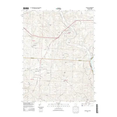 2013 Coolville2013 Print · USGSThe Hocking River valley and the Ohio River border are captured here in the early twenty-first century. Genealogists can locate numerous rural burial sites like Old Coolville Cem and Tuppers Plains Cem or trace the old roads of Vanderhoof and Success.
 - 2013 Map of Fleming, 2013 Print
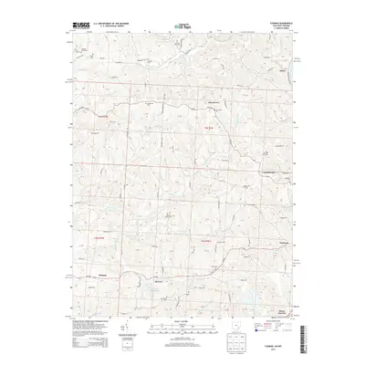 2013 Fleming2013 Print · USGSWashington County ridge-top communities are documented here in 2013, showing the lasting settlement patterns of the Ohio river country. Genealogists can locate several historic burial sites, including Churchtown Cem, Warren Chapel Cem, and Tunnel Cem.
 - 2013 Map of Marietta, 2013 Print
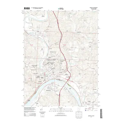 2013 Marietta2013 Print · USGSMarietta sits at the historic confluence of the Muskingum and Ohio Rivers during this early twenty-first century period. Researchers can trace the layout of Marietta College, locate the ancient Conus Mound, and find family burial sites like Harmar Cemetery and Lynch Church Cemetery.
 - 2013 Map of Little Hocking, 2013 Print
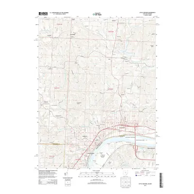 2013 Little Hocking2013 Print · USGSThe Ohio River borderlands are captured here in the early 2010s, showing the intersection of Washington County and West Virginia. Researchers can trace ancestral sites and local landmarks from Blennerhassett Island to Little Hocking and the Fairfield Church Cem.
 - 2014 Map of Rockport, 2014 Print
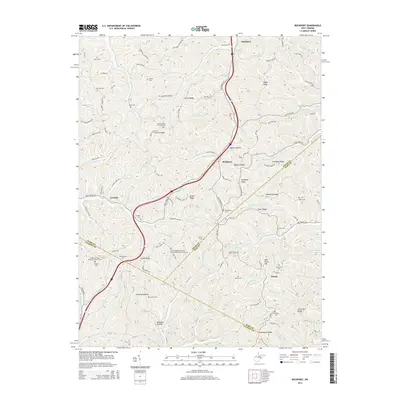 2014 Rockport2014 Print · USGSWest Virginia's Appalachian foothills come into focus in the early 2010s, showing the rural communities of Rockport and Lowdell. Researchers can trace family history through a remarkable number of small upland burial sites like Naylor Cem and the Simpson United Methodist Church Cem.
 - 2014 Map of Kanawha, 2014 Print
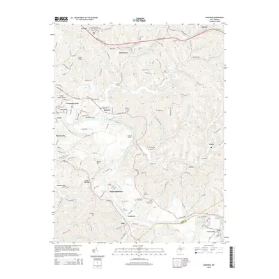 2014 Kanawha2014 Print · USGSWood County at the turn of the millennium shows a landscape where historic river settlements and family homesteads meet modern highway expansion. Researchers can locate numerous family burial sites like Byrd Cem and Deem Cem or trace the winding Little Kanawha River.
 - 2014 Map of Schultz, 2014 Print
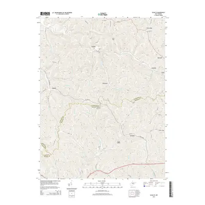 2014 Schultz2014 Print · USGSThe hill country of Pleasants and Ritchie counties remains defined by its deep hollows and narrow ridges in this 2014 survey. Genealogists and hikers can trace the paths between Calcutta, Lone Valley, and Schultz while locating historic sites like Douglas Cem.
 - 2014 Map of Elizabeth, 2014 Print
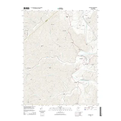 2014 Elizabeth2014 Print · USGSWirt County's river-bottom settlements and high ridges are documented here in the early twenty-first century. Researchers can trace family sites at Beauchamp Newman Cem, locate the old Newark landing, and find the WWII Veterans Memorial Bridge in Elizabeth.
 - 2014 Map of South Parkersburg, 2014 Print
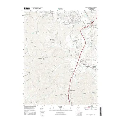 2014 South Parkersburg2014 Print · USGSWood County’s river valleys and suburban ridges are shown here in the mid-2010s, capturing the expansion south of the Little Kanawha. Researchers can find numerous hilltop cemeteries and local institutions, from Sunset Memory Gardens to W Virginia Univ at Parkersburg.
 - 2014 Map of Petroleum, 2014 Print
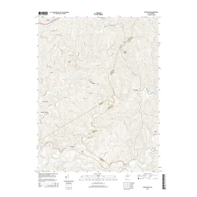 2014 Petroleum2014 Print · USGSThe rural oil country of Wood, Ritchie, and Wirt counties comes to life in this detailed study of the Appalachian foothills. Local historians can trace family ties at the Independent Order of Odd Fellows Cem or explore the industrial legacy of the Volcano Oil Field and Oil Spring.
Showing maps 1-25 of 60
Top cities of Wood County
- Parkersburg historical maps
- Vienna historical maps
- Blennerhassett historical maps
- Williamstown historical maps
Frequently asked questions
- What are the different types of historical maps available for Wood County?
- What is the oldest map of Wood County?
- Where can I purchase historical maps of Wood County for my home or office?
- Where can I download high-res historical maps of Wood County?
- Are there historical topographic maps available for Wood County?
- Is there historical aerial imagery available for Wood County?
- Where are historical maps of Wood County sourced from?