2000s (21st Century) Maps of Adams County, Wisconsin
Explore 100 historic maps of Adams County from the 2000s (21st Century). These maps offer a rare glimpse into what life looked like during the 2000s — showing old roads, neighborhoods, homes, and landmarks that have changed or disappeared over time.
Whether you're researching your family's past, planning a metal detecting trip, or studying how Adams County's landscape evolved across the 2000s, these high-resolution maps are a powerful tool for exploring the history of this region.
- Focus on a specific era: All maps on this page are from the 2000s, giving you a focused view of this time period.
- See what’s changed: Compare century-old streets, trails, and buildings to today's modern landscape using overlays and satellite layers.
- Research with precision: Use these maps for genealogy, historical research, land use analysis, or educational projects.
- View, download, or print: Maps are fully viewable online in high resolution, and can be downloaded or printed for your own records.
Start exploring Adams County's history through authentic maps from the 2000s. This is your window into the past.
Adams County, WI maps
(100)- 2010 Map of Arkdale NE, 2010 Print
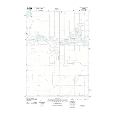 2010 Arkdale NE2010 Print · USGSBig Flats and the surrounding Adams County countryside appear in this 2010 survey as a landscape of managed waterways and rural roads. Researchers can trace family history at Spring Branch Cemetery or locate landmarks like the Dorro Couche Lookout Tower.
 - 2010 Map of Coloma NW, 2010 Print
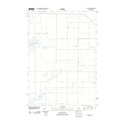 2010 Coloma NW2010 Print · USGSBig Flats and the Leola area are shown here during a period of modern land and water management. You can trace the network of drainage controls like Leola 15 Dam, find family history at Holliday Cemetery, or locate landmarks like Keystone Rock.
 - 2010 Map of Arkdale, 2010 Print
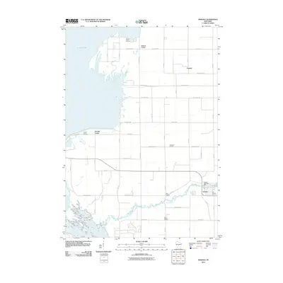 2010 Arkdale2010 Print · USGSAdams County at the start of the 2010s shows a landscape of river-fed settlements and quiet rural crossroads. Genealogists can trace family history through a high density of burial sites like Monroe Center Cemetery and South Arkdale Cemetery, or locate specific structures near the Arkdale 3WR1429 Dam.
 - 2010 Map of Coloma, 2010 Print
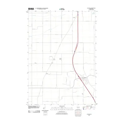 2010 Coloma2010 Print · USGSColoma and the surrounding Waushara County farmlands are captured in the early 2000s, showing a landscape of rural airfields and family cemeteries. Trace local lineage at Fish Cemetery or White Cemetery, and explore the area surrounding Coloma Corners and Deer Lake.
 - 2010 Map of Arkdale NW, 2010 Print
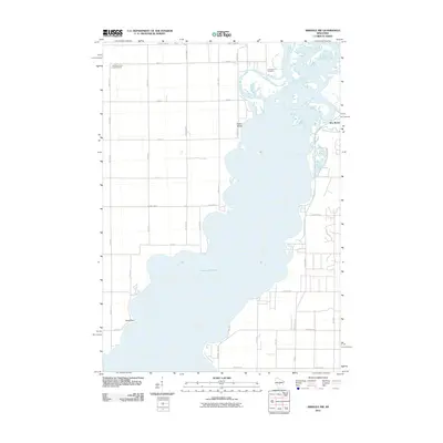 2010 Arkdale NW2010 Print · USGSThe eastern shores of Petenwell Lake are captured here during the first decade of the 2000s. Genealogists and local historians can locate New Rome and Greenwood Cemetery, or trace the winding path of Fourteenmile Creek.
 - 2010 Map of Necedah, 2010 Print
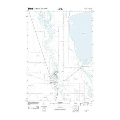 2010 Necedah2010 Print · USGSNecedah and the shores of Petenwell Lake are captured here in the early twenty-first century. Researchers can trace the junction of the Yellow River and Wisconsin River while locating local landmarks like Bay View Cemetery and Petenwell Rock.
 - 2010 Map of Roche A Cri, 2010 Print
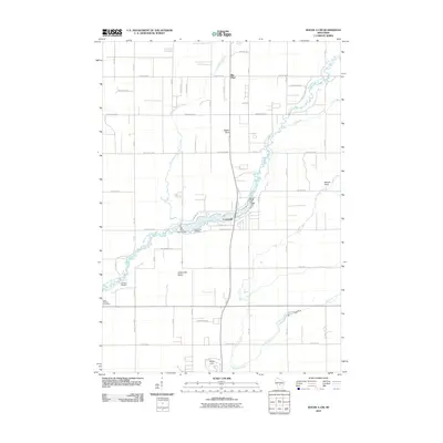 2010 Roche A Cri2010 Print · USGSCentral Wisconsin geography at the turn of the decade is defined by the winding Big Roche a Cri Creek and the wooded surrounds of Big Flats. Genealogists and historians can locate the Cottonville Cemetery and landmarks like Rabbit Rock.
 - 2010 Map of Coloma SW, 2010 Print
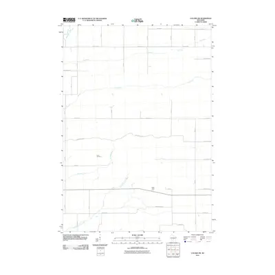 2010 Coloma SW2010 Print · USGSWisconsin’s central sand plains are captured here in the early 21st century, showing a rural landscape defined by glacial creeks and straight country roads. Researchers can locate the Indian Cemetery and the prominent Ship Rock landmark along the winding course of Little Roche a Cri Creek.
 - 2010 Map of Briggsville, 2010 Print
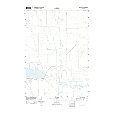 2010 Briggsville2010 Print · USGSBriggsville and the surrounding wetlands of Columbia County appear in detail during the early twenty-first century. Researchers can trace the shoreline of Mason Lake, locate the Briggsville 1869C221 Dam, and find family roots at Greenwood Cemetery.
 - 2010 Map of Adams, 2010 Print
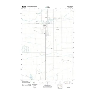 2010 Adams2010 Print · USGSThe interconnected communities of Adams and Friendship are shown here in the early twenty-first century, surrounded by unique geologic formations. Researchers can locate Mount Repose Cemetery, the Friendship 2WP745 Dam, and distinctive landmarks like Lighthouse Rock.
 - 2010 Map of Westfield West, 2010 Print
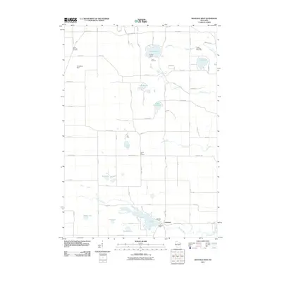 2010 Westfield West2010 Print · USGSRichfield and the surrounding Adams County lakelands are documented here in the early twenty-first century. Genealogists and local historians can locate South Burr Oak Cemetery, the Lawrence Dam, and the early footprints of Pine Lake Camp and Camp Firewood.
 - 2010 Map of Easton, 2010 Print
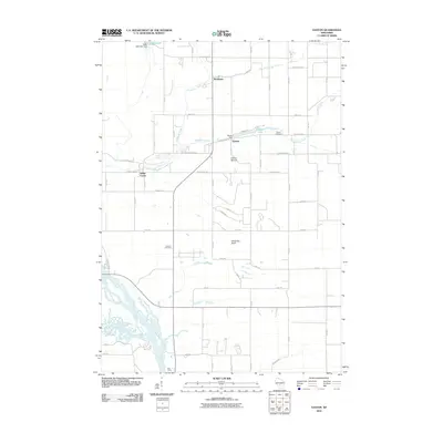 2010 Easton2010 Print · USGSAdams County in the early 2000s remains a landscape of river confluences and small rural hubs. You can trace family roots at Easton Cemetery, locate the former mills near the Easton Dam, or explore the river islands near Dells Camp and the Wisconsin River.
 - 2010 Map of Oxford, 2010 Print
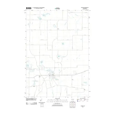 2010 Oxford2010 Print · USGSMarquette County in the early twenty-first century reveals a landscape shaped by water and tradition near the village of Oxford. Researchers can trace local lineage through Oak Hill Cemetery or Kelly Cemetery and locate landmarks like the Oxford Dam on Neenah Creek.
 - 2010 Map of Round Bluff, 2010 Print
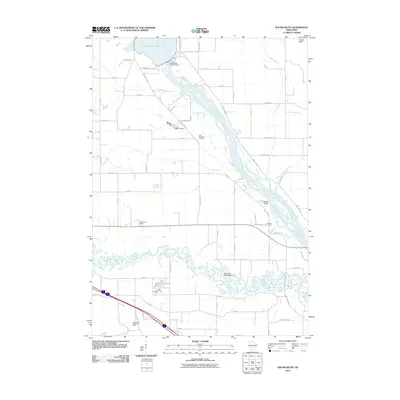 2010 Round Bluff2010 Print · USGSJuneau County as it appeared in the early 21st century remains defined by the winding waters of the Wisconsin River and the Lemonweir River. Genealogists and local historians can trace family locations near Saint Michaels Cemetery, the Woodside Ranch, and the Castle Rock settlement.
 - 2010 Map of Wisconsin Dells North, 2010 Print
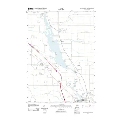 2010 Wisconsin Dells North2010 Print · USGSThe Wisconsin Dells region is documented here in the early twenty-first century, showing the intersection of dramatic river geology and local heritage. Researchers can locate family sites at Olin Cemetery and Dupless Cemetery or trace landmarks like Stand Rock and Kilbourn Dam.
 - 2010 Map of Big Spring, 2010 Print
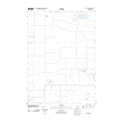 2010 Big Spring2010 Print · USGSWisconsin's glacial landscape east of the Dells comes into focus at the start of the 2010s, showing a transition from farm fields to lakefront retreats. Researchers can locate the Polish Paradise Airport and trace local waterways like Big Spring Creek and Gulch Creek.
 - 2010 Map of Dellwood, 2010 Print
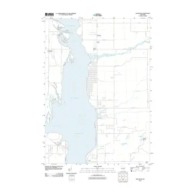 2010 Dellwood2010 Print · USGSAdams County at the start of the 2010s reveals a landscape shaped by the expansive waters of the Wisconsin River and its tributaries. Researchers can trace local burial sites at Dellwood Cemetery and Quincy Cemetery or locate the Schwahn 3NC78806 Dam near Silver Lake.
 - 2010 Map of Brooks, 2010 Print
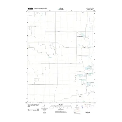 2010 Brooks2010 Print · USGSThe lakeside communities of Adams County are captured here just after the turn of the millennium. Researchers can trace the layout of Brooks, the grounds of the Federal Correctional Institution, and recreational landmarks like Peppermill Lake and Camp Oak Hill.
 - 2010 Map of Hancock, 2010 Print
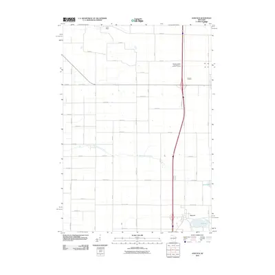 2010 Hancock2010 Print · USGSHancock and its central Wisconsin surroundings are captured here during a period of steady rural development. Trace local family roots at Plainfield Cemetery or explore the landscape along the Big Roche a Cri Creek and the shores of Pine Lake.
 - 2010 Map of Grand Marsh, 2010 Print
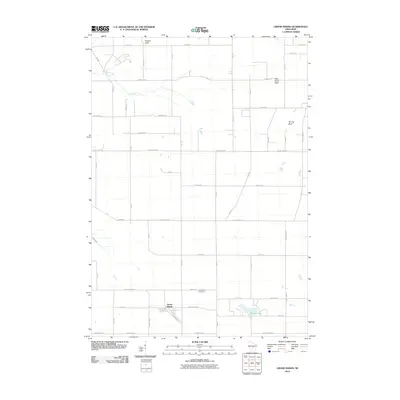 2010 Grand Marsh2010 Print · USGSGrand Marsh and the surrounding Adams County townships are documented here during the early twenty-first century. Genealogists and researchers can trace local landmarks like Gould Rock Cemetery, the waters of Patrick Lake, and the heights of Preston Cliffs.
 - 2013 Map of Grand Marsh, 2013 Print
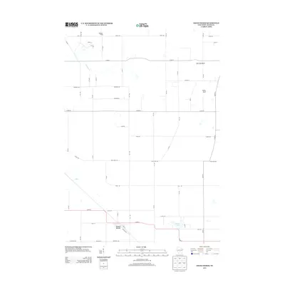 2013 Grand Marsh2013 Print · USGSThe rural landscape of Adams County is captured here in the early twenty-first century, centered on the small community of Grand Marsh. Researchers can trace the local drainage of Fordham Cr and locate prominent regional landmarks like Preston Cliffs and Patrick Lake.
 - 2013 Map of Brooks, 2013 Print
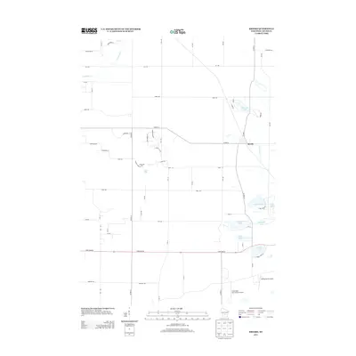 2013 Brooks2013 Print · USGSWisconsin's lake country in Adams County is meticulously documented here during the early 2010s. Researchers can trace lakeside developments and aviation history through features like Peppermill Lake, Brooks, and the Clearwater Aero Estates Airport.
 - 2013 Map of Westfield West, 2013 Print
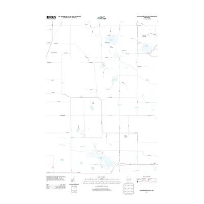 2013 Westfield West2013 Print · USGSRichfield and the Lawrence area are shown in this 2013 study as a landscape of recreational camps and glacial lakes. Genealogists and hikers can trace the Ice Age Natl Scenic Trl past Wood Lake or locate old community hubs like Lawrence and Pine Lake Camp.
 - 2013 Map of Big Spring, 2013 Print
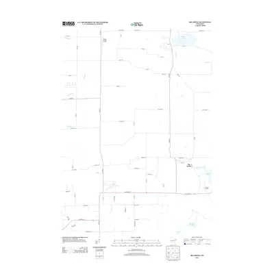 2013 Big Spring2013 Print · USGSThe rural landscape between Wisconsin Dells and Oxford comes into focus in this early twenty-first-century survey. Researchers can trace the layout of small settlements like Big Spring and Davis Corners while locating landmarks like Polish Paradise Airport and Jordan Lake.
 - 2013 Map of Adams, 2013 Print
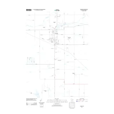 2013 Adams2013 Print · USGSCentral Wisconsin life at the start of the 2010s is centered here on the interconnected hubs of Friendship and Adams. Researchers can trace the local landscape from the Adams County Legion Field Airport to prominent landmarks like Friendship Mound and Houghton Rock.
Showing maps 1-25 of 100
Top cities of Adams County
- Adams historical maps
- Dell Prairie historical maps
- Easton historical maps
- Strongs Prairie historical maps
- Big Flats historical maps
- Friendship historical maps
Frequently asked questions
- What are the different types of historical maps available for Adams County?
- What is the oldest map of Adams County?
- Where can I purchase historical maps of Adams County for my home or office?
- Where can I download high-res historical maps of Adams County?
- Are there historical topographic maps available for Adams County?
- Is there historical aerial imagery available for Adams County?
- Where are historical maps of Adams County sourced from?