2000s (21st Century) Maps of Dovre, Wisconsin
Explore 20 historic maps of Dovre from the 2000s (21st Century). These maps offer a rare glimpse into what life looked like during the 2000s — showing old roads, neighborhoods, homes, and landmarks that have changed or disappeared over time.
Whether you're researching your family's past, planning a metal detecting trip, or studying how Dovre's landscape evolved across the 2000s, these high-resolution maps are a powerful tool for exploring the history of this region.
- Focus on a specific era: All maps on this page are from the 2000s, giving you a focused view of this time period.
- See what’s changed: Compare century-old streets, trails, and buildings to today's modern landscape using overlays and satellite layers.
- Research with precision: Use these maps for genealogy, historical research, land use analysis, or educational projects.
- View, download, or print: Maps are fully viewable online in high resolution, and can be downloaded or printed for your own records.
Start exploring Dovre's history through authentic maps from the 2000s. This is your window into the past.
Dovre, WI maps
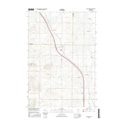
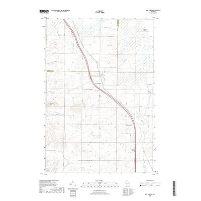
(20)- 2010 Map of New Auburn, 2010 Print
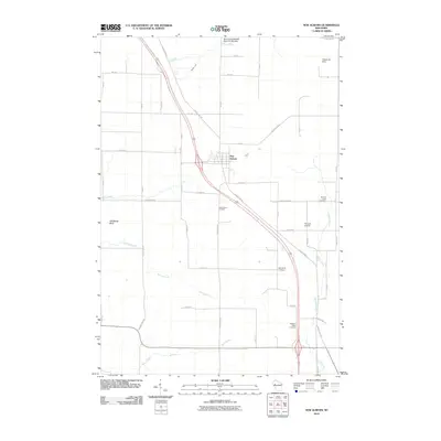 2010 New Auburn2010 Print · USGSCovers Dovre, including New Auburn, Bloomer, and other nearby areas
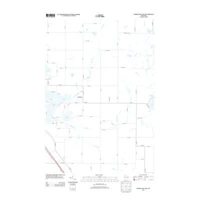
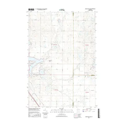
 - 2010 Map of Moose Ear Lake, 2010 Print
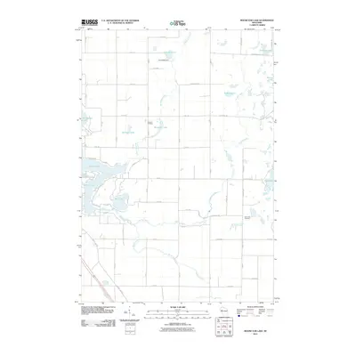 2010 Moose Ear Lake2010 Print · USGSCovers Dovre, including Chetek, Sampson, and other nearby areas
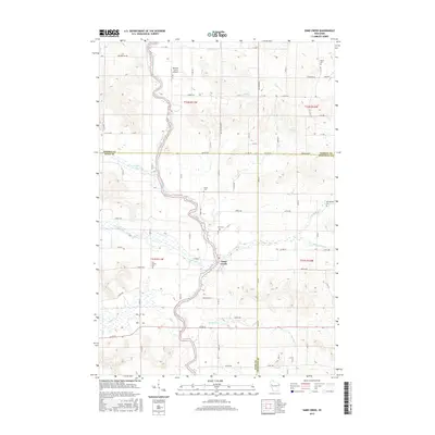
 - 2010 Map of Sand Creek, 2010 Print
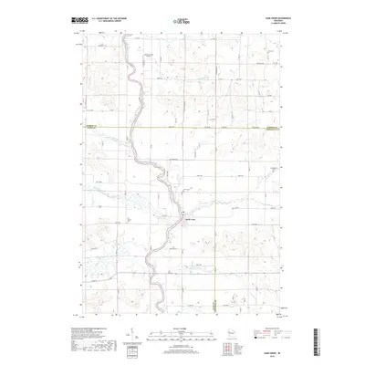
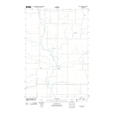 2010 Sand Creek2010 Print · USGSCovers Dovre, including Sand Creek, Sioux Creek, and other nearby areas
 - 2010 Map of Chetek, 2010 Print
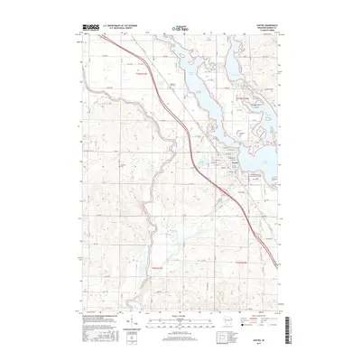
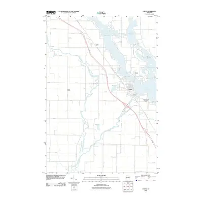 2010 Chetek2010 Print · USGSCovers Dovre, including Chetek, Sioux Creek, and other nearby areas
 - 2013 Map of Moose Ear Lake, 2013 Print
 2013 Moose Ear Lake2013 Print · USGSCovers Dovre, including Chetek, Sampson, and other nearby areas
 - 2013 Map of Chetek, 2013 Print
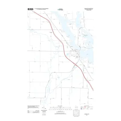 2013 Chetek2013 Print · USGSCovers Dovre, including Chetek, Sioux Creek, and other nearby areas
 - 2013 Map of Sand Creek, 2013 Print
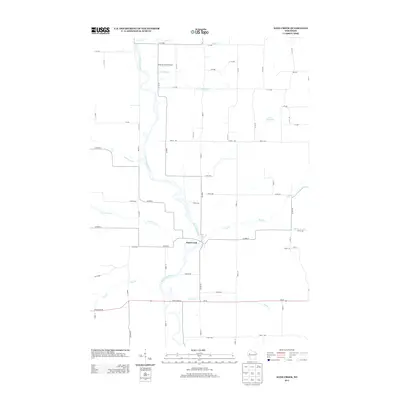 2013 Sand Creek2013 Print · USGSCovers Dovre, including Sand Creek, Sioux Creek, and other nearby areas
 - 2013 Map of New Auburn, 2013 Print
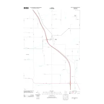 2013 New Auburn2013 Print · USGSCovers Dovre, including New Auburn, Bloomer, and other nearby areas
 - 2015 Map of New Auburn, 2015 Print
 2015 New Auburn2015 Print · USGSCovers Dovre, including New Auburn, Bloomer, and other nearby areas
 - 2015 Map of Sand Creek, 2015 Print
 2015 Sand Creek2015 Print · USGSCovers Dovre, including Sand Creek, Sioux Creek, and other nearby areas
 - 2015 Map of Moose Ear Lake, 2015 Print
 2015 Moose Ear Lake2015 Print · USGSCovers Dovre, including Chetek, Sampson, and other nearby areas
 - 2015 Map of Chetek, 2015 Print
 2015 Chetek2015 Print · USGSCovers Dovre, including Chetek, Sioux Creek, and other nearby areas
 - 2018 Map of New Auburn, 2018 Print
 2018 New Auburn2018 Print · USGSCovers Dovre, including New Auburn, Bloomer, and other nearby areas
 - 2018 Map of Chetek, 2018 Print
 2018 Chetek2018 Print · USGSCovers Dovre, including Chetek, Sioux Creek, and other nearby areas
 - 2018 Map of Sand Creek, 2018 Print
 2018 Sand Creek2018 Print · USGSCovers Dovre, including Sand Creek, Sioux Creek, and other nearby areas
 - 2018 Map of Moose Ear Lake, 2018 Print
 2018 Moose Ear Lake2018 Print · USGSCovers Dovre, including Chetek, Sampson, and other nearby areas
 - 2022 Map of Sand Creek, 2022 Print
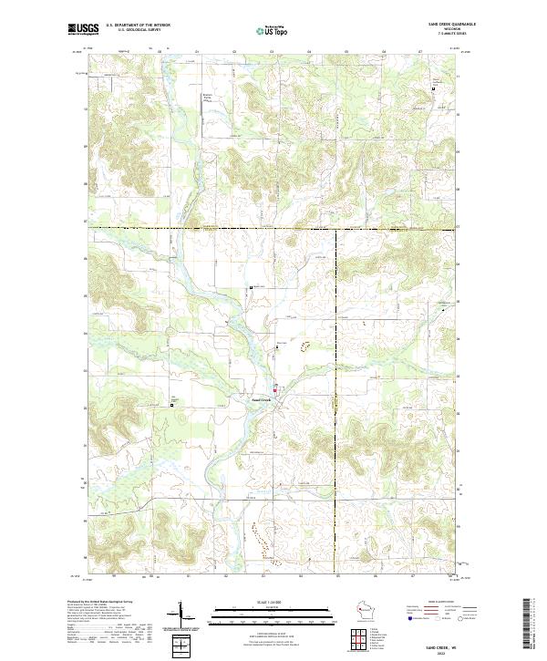 2022 Sand Creek2022 Print · USGSNorthwestern Wisconsin’s river valleys and rural townships are captured here as they appeared in the early 2020s. Genealogists and local historians can trace family ties through several area burial sites like Myran Cem and Springbrook Cem near the winding Red Cedar River.
 - 2022 Map of New Auburn, 2022 Print
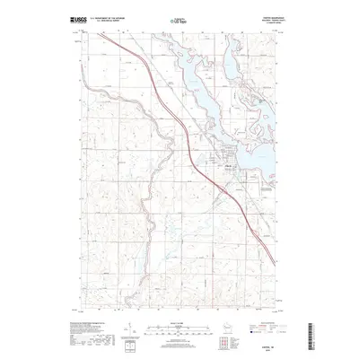
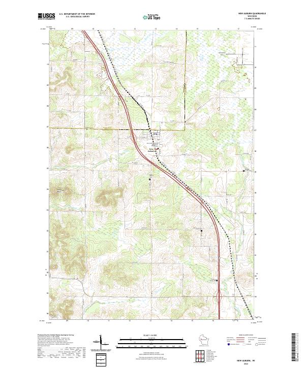 2022 New Auburn2022 Print · USGSNew Auburn sits at the tri-county intersection of Barron, Chippewa, and Dunn during the early twenty-first century. Genealogists can locate family sites at New Auburn Cem, Duncan Creek Cem, and the New Auburn Seventh Day Baptist Church.
 - 2022 Map of Moose Ear Lake, 2022 Print
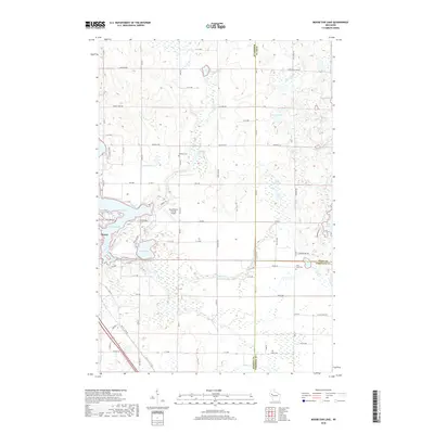
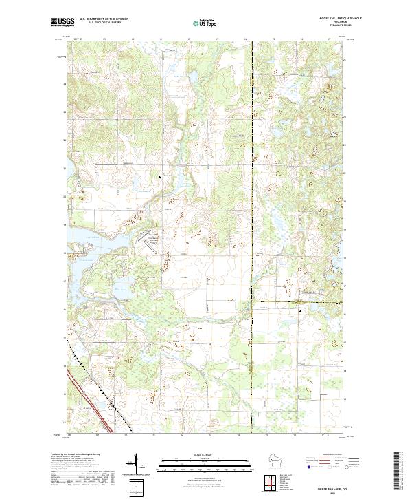 2022 Moose Ear Lake2022 Print · USGSBarron County lake country is captured here in the early twenty-first century, showing the intricate waterways between Moose Ear Lake and Lake Chetek. Researchers can locate family sites near the Johnson Cem or trace the drainage of Tenmile Cr and Beaver Cr.
 - 2022 Map of Chetek, 2022 Print
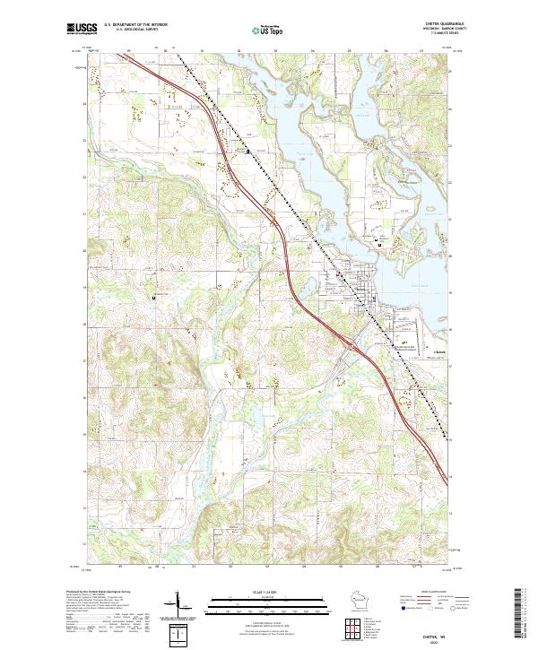 2022 Chetek2022 Print · USGSBarron County, Wisconsin, comes into focus in the early 2020s as a landscape of interconnected lakes and rural townships. Local researchers can trace family landmarks and shoreline developments near Lake Chetek, Pittmans Point, and the Saint Boniface Cem.
End of results
Showing maps 1-20 of 20
Top cities near Dovre
- Rice Lake historical maps
- Bloomer historical maps
- Eagle Point historical maps
- Barron historical maps
- Chetek historical maps
- Tainter historical maps
See more
Frequently asked questions
- What are the different types of historical maps available for Dovre?
- What is the oldest map of Dovre?
- Where can I purchase historical maps of Dovre for my home or office?
- Where can I download high-res historical maps of Dovre?
- Are there historical topographic maps available for Dovre?
- Is there historical aerial imagery available for Dovre?
- Where are historical maps of Dovre sourced from?