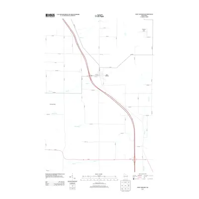
2013 Map of New Auburn
USGS Topo · Published 2013About this map
New Auburn serves as the central hub of this Wisconsin quadrangle, where a dense network of local roads like W Main St and W Dell St meet the primary transportation corridor. The landscape is defined by its waterways, with Sand Cr and Beaver Cr winding through the northern reaches, while Trout Cr and Duncan Cr dominate the drainage in the south. A notable landmark for pilots and locals is the Vetterkind Strip Airport in the northeast corner. Southwest of the main settlement, the terrain rises toward Old Maids Bluff, a distinct elevation change in an otherwise gently undulating agricultural and residential region. The map captures a moment of modern connectivity where state routes like Wi-64 intersect with the legacy grid of rural avenues and streets.
Find a feature on this map
49 named features on this map. Tap any name to fly to it.
Don’t see what you’re looking for? This feature index may not catch every label — zoom into the map to look around manually.
Map Details
Editions of this 2013 New Auburn Map
This is the sole edition of this map. No revisions or reprints were ever made.
Other maps of this area

1948 · Weyerhauser
USGS Topo · 1:48,000

1949 · Bloomer
USGS Topo · 1:62,500

1949 · New Auburn
USGS Topo · 1:62,500

1950 · Weyerhauser
USGS Topo · 1:48,000

1951 · Bloomer
USGS Topo · 1:62,500

1951 · New Auburn
USGS Topo · 1:62,500

1951 · Chetek
USGS Topo · 1:62,500

1953 · Rice Lake
USGS Topo · 1:250,000

1959 · Rice Lake
USGS Topo · 1:250,000
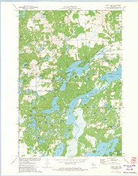
1972 · Chain Lake
USGS Topo · 1:24,000