2000s (21st Century) Maps of Tripp, Wisconsin
Explore 23 historic maps of Tripp from the 2000s (21st Century). These maps offer a rare glimpse into what life looked like during the 2000s — showing old roads, neighborhoods, homes, and landmarks that have changed or disappeared over time.
Whether you're researching your family's past, planning a metal detecting trip, or studying how Tripp's landscape evolved across the 2000s, these high-resolution maps are a powerful tool for exploring the history of this region.
- Focus on a specific era: All maps on this page are from the 2000s, giving you a focused view of this time period.
- See what’s changed: Compare century-old streets, trails, and buildings to today's modern landscape using overlays and satellite layers.
- Research with precision: Use these maps for genealogy, historical research, land use analysis, or educational projects.
- View, download, or print: Maps are fully viewable online in high resolution, and can be downloaded or printed for your own records.
Start exploring Tripp's history through authentic maps from the 2000s. This is your window into the past.
Tripp, WI maps
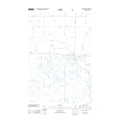
(23)- 2005 Map of Hart Lake, 2006 Print
 2005 Hart Lake2006 Print · USGSBayfield County's lake-dotted interior is shown in great detail during the early 2000s, within the heart of the national forest. Researchers can trace forest roads like the Battleax Grade and locate remote landmarks like the Iron River Lookout Iron and Wanoka Lake.
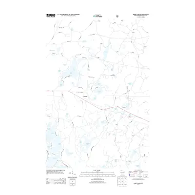
 - 2005 Map of Iron Lake NE, 2006 Print
 2005 Iron Lake NE2006 Print · USGSBayfield County at the turn of the millennium shows a landscape defined by the Chequamegon National Forest and its protected barrens. Researchers can trace local resource management at the National Fish Hatchery or follow old timber routes like the Battleax Grade.
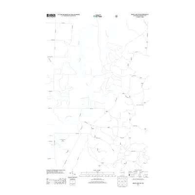
 - 2005 Map of Iron Lake, 2006 Print
 2005 Iron Lake2006 Print · USGSBayfield County at the turn of the millennium shows a landscape deeply shaped by its glacial lakes and the Chequamegon National Forest. Genealogists and local historians can trace family-named roads and sites like Oulu Sch, Grace Ch, and the settlement at Camp Eleven.
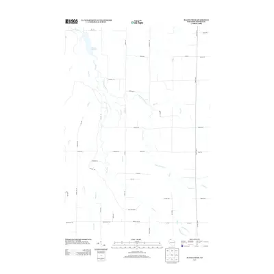
 - 2010 Map of Blaine Creek, 2010 Print
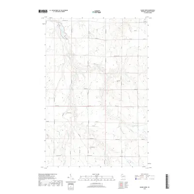
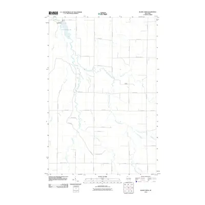 2010 Blaine Creek2010 Print · USGSCovers Tripp, including Port Wing, Oulu, and other nearby areas
 - 2011 Map of Iron Lake, 2011 Print
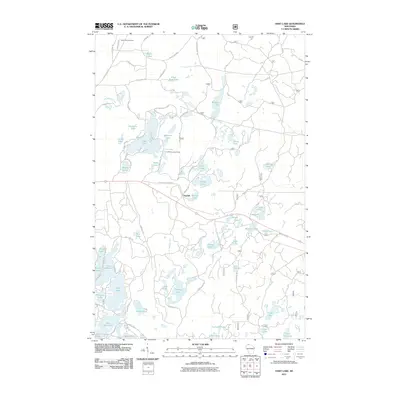
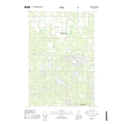
 2011 Iron Lake2011 Print · USGSCovers Tripp, including Iron River, Delta, and other nearby areas
 - 2011 Map of Hart Lake, 2011 Print
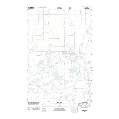
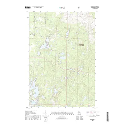
 2011 Hart Lake2011 Print · USGSCovers Tripp, including Iron River, Delta, and other nearby areas
 - 2011 Map of Iron Lake NE, 2011 Print
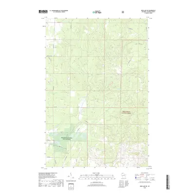
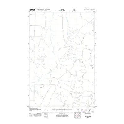 2011 Iron Lake NE2011 Print · USGSCovers Tripp, including Port Wing, Clover, and other nearby areas
 - 2013 Map of Iron Lake, 2013 Print
 2013 Iron Lake2013 Print · USGSCovers Tripp, including Iron River, Delta, and other nearby areas
 - 2013 Map of Hart Lake, 2013 Print
 2013 Hart Lake2013 Print · USGSCovers Tripp, including Iron River, Delta, and other nearby areas
 - 2013 Map of Iron Lake NE, 2013 Print
 2013 Iron Lake NE2013 Print · USGSCovers Tripp, including Port Wing, Clover, and other nearby areas
 - 2013 Map of Blaine Creek, 2013 Print
 2013 Blaine Creek2013 Print · USGSCovers Tripp, including Port Wing, Oulu, and other nearby areas
 - 2015 Map of Iron Lake NE, 2015 Print
 2015 Iron Lake NE2015 Print · USGSCovers Tripp, including Port Wing, Clover, and other nearby areas
 - 2015 Map of Blaine Creek, 2015 Print
 2015 Blaine Creek2015 Print · USGSCovers Tripp, including Port Wing, Oulu, and other nearby areas
 - 2015 Map of Iron Lake, 2015 Print
 2015 Iron Lake2015 Print · USGSCovers Tripp, including Iron River, Delta, and other nearby areas
 - 2015 Map of Hart Lake, 2015 Print
 2015 Hart Lake2015 Print · USGSCovers Tripp, including Iron River, Delta, and other nearby areas
 - 2018 Map of Iron Lake, 2018 Print
 2018 Iron Lake2018 Print · USGSCovers Tripp, including Iron River, Delta, and other nearby areas
 - 2018 Map of Hart Lake, 2018 Print
 2018 Hart Lake2018 Print · USGSCovers Tripp, including Iron River, Delta, and other nearby areas
 - 2018 Map of Blaine Creek, 2018 Print
 2018 Blaine Creek2018 Print · USGSCovers Tripp, including Port Wing, Oulu, and other nearby areas
 - 2018 Map of Iron Lake NE, 2018 Print
 2018 Iron Lake NE2018 Print · USGSCovers Tripp, including Port Wing, Clover, and other nearby areas
 - 2022 Map of Blaine Creek, 2022 Print
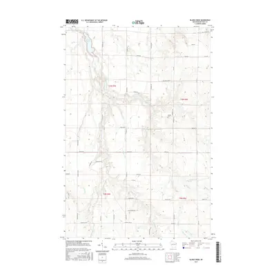
 2022 Blaine Creek2022 Print · USGSBayfield County in the early twenty-first century is captured here as a network of rural homesteads and winding waterways. Researchers can trace family names through local routes like Hokkanen Rd or locate the Hillside Cem near the East Fork Iron River.
 - 2022 Map of Hart Lake, 2022 Print
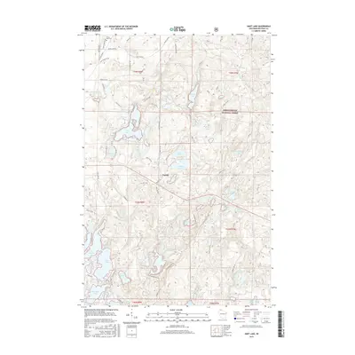
 2022 Hart Lake2022 Print · USGSBayfield County's lake country is captured here during the 2020s, showing a landscape defined by the Chequamegon National Forest. Researchers can trace old routes like Battleax Grade and locate local landmarks such as Valley View Cem and the settlement of Topside.
 - 2022 Map of Iron Lake NE, 2022 Print
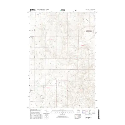
 2022 Iron Lake NE2022 Print · USGSNorthern Wisconsin's timbered highlands and cold-water streams are meticulously charted in this recent study of the Bayfield County backcountry. Researchers can trace forest management routes and conservation sites like the Iron River National Fish Hatchery, the Battleaxe Trl, and the Flag River.
 - 2022 Map of Iron Lake, 2022 Print
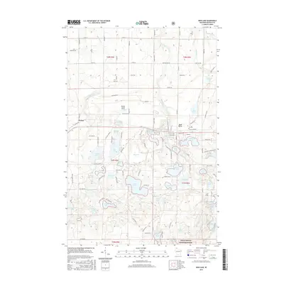
 2022 Iron Lake2022 Print · USGSNorthern Wisconsin's lake-studded timberlands are documented here in the early 2020s, centered on the community of Iron River. Researchers can locate family sites near Saint Michaels Cem, trace the Tri Co Corridor, or explore the shores of Crystal Lake.
End of results
Showing maps 1-23 of 23
Top cities near Tripp
- Iron River historical maps
- Gordon historical maps
- Brule historical maps
- Drummond historical maps
- Port Wing historical maps
- Cloverland historical maps
See more
Frequently asked questions
- What are the different types of historical maps available for Tripp?
- What is the oldest map of Tripp?
- Where can I purchase historical maps of Tripp for my home or office?
- Where can I download high-res historical maps of Tripp?
- Are there historical topographic maps available for Tripp?
- Is there historical aerial imagery available for Tripp?
- Where are historical maps of Tripp sourced from?