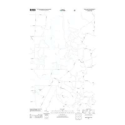
2013 Map of Iron Lake NE
USGS Topo · Published 2013About this map
E Fork Flag River and its various tributaries define the drainage patterns across this northwoods terrain in Bayfield County. The landscape is primarily shaped by the headwaters of regional streams, including the Cranberry River in the northeast corner, which cut through the forested upland toward Lake Superior. While the map is sparse on major settlements, the extensive network of forest roads and rural routes, such as Battle Axe Road and Forest Road 246, indicates a region defined by timber management and recreational access within the Chequamegon-Nicolet National Forest area. This 2013 survey provides a clear view of the modern forest infrastructure and hydrological features that characterize this portion of northern Wisconsin.
Find a feature on this map
2 named features on this map. Tap any name to fly to it.
Don’t see what you’re looking for? This feature index may not catch every label — zoom into the map to look around manually.
Map Details
Editions of this 2013 Iron Lake NE Map
This is the sole edition of this map. No revisions or reprints were ever made.
Other maps of this area

1943 · Port Wing
USGS Topo · 1:48,000

1943 · Iron Lake
USGS Topo · 1:48,000

1944 · Moquah
USGS Topo · 1:48,000

1944 · Cornucopia
USGS Topo · 1:48,000

1946 · Cornucopia
USGS Topo · 1:48,000

1946 · Port Wing
USGS Topo · 1:48,000

1947 · Moquah
USGS Topo · 1:48,000

1947 · Iron Lake
USGS Topo · 1:48,000

1953 · Ashland
USGS Topo · 1:250,000

1958 · Ashland
USGS Topo · 1:250,000