Old Maps of De Pere, Wisconsin for Hiking & Exploration
Hike through history with 18 historic maps of De Pere. Explore old trails, ghost towns, and forgotten backroads — perfect for outdoor adventurers and local explorers.
- Rediscover forgotten places: Map out old mining camps, roads, and footpaths that no longer exist on modern maps.
- Layer with modern tools: Combine with LiDAR or satellite views to plan hikes through historical terrain.
- Made for exploration: Popular among hikers, overlanders, and local history lovers.
Use these maps to find adventure and explore the hidden past of De Pere.
De Pere, WI maps
(18)- 1954 Map of De Pere, 1956 Print
 1954 De Pere1956 Print · USGSThe Fox River valley in the mid-1950s was a hub of industrial navigation and growing aviation between De Pere and Green Bay. Genealogists can trace family names through dozens of rural sites like St Patrick Cem, Gopher Hill, and the Michaelson Sch (Abandoned).2 unique versions available
 - 1954 Map of De Pere, 1956 Print
 1954 De Pere1956 Print · USGSIn the mid-1950s, the Fox River Valley bustled with industry, education, and expansion between Green Bay and De Pere. Genealogists and historians can trace the foundations of St Norbert College, the location of the State Reformatory, and early schools like Babcock Sch.2 unique versions available
 - 1955 Map of Green Bay, 1968 Print
 1955 Green Bay1968 Print · USGSCentral and Eastern Wisconsin are captured here in the mid-fifties, showing the industrial growth of the Fox Valley and Wisconsin River corridors. Genealogists and historians can trace rail lines like the Green Bay and Western through settlements like Weyauwega, Clintonville, and Pulaski.2 unique versions available
 - 1974 Map of Oneida South, 1978 Print
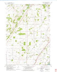 1974 Oneida South1978 Print · USGSThe Oneida Indian Reservation and the banks of the Fox River are captured here during the mid-seventies. Researchers can trace ancestral locations and local landmarks from Little Rapids to the Immaculate Conception Sch and Lost Dauphin State Park.
 - 1982 Map of De Pere
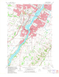 1982 De Pere1982 Print · USGSDe Pere and the Fox River corridor are captured here in the early eighties as the region balanced its industrial roots with suburban growth. Researchers can trace institutional landmarks like St Norbert College or the legacy of rail at the National Railroad Museum.
 - 1984 Map of Appleton, 1985 Print
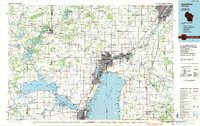 1984 Appleton1985 Print · USGSThe Fox River Valley in the mid-eighties shows a bustling corridor of industry and nature, from the shores of Lake Winnebago to the Oneida Indian Reservation. Trace local heritage through landmarks like Riverside Cem or explore the wetlands of Poygan Marsh State Wildlife Area.2 unique versions available
 - 1992 Map of De Pere, 1996 Print
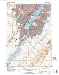 1992 De Pere1996 Print · USGSThe Fox River valley in the early nineties shows a landscape of institutional growth and deep-rooted community history. Researchers can find St Norbert College, the National Railroad Museum, and the historic path of Old Military Road near the De Pere Dam.
 - 1992 Map of Oneida South, 1996 Print
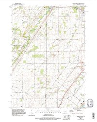 1992 Oneida South1996 Print · USGSThe Oneida Reservation and Brown County borderland are captured here in the early nineties as modern development met historic settlements. Genealogists and local historians can trace family-named routes like Van Boxtel Road or locate Saint Joseph Cemetery and the grounds of Lost Dauphin State Park.
 - 2010 Map of De Pere, 2010 Print
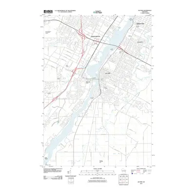 2010 De Pere2010 Print · USGSDe Pere and its neighboring riverfront communities show a complex landscape of industry and history in the early 2000s. Genealogists and local historians can trace numerous family sites across Woodlawn Cemetery, the Wisconsin State Reformatory, and the settlement at Little Rapids.
 - 2010 Map of Oneida South, 2010 Print
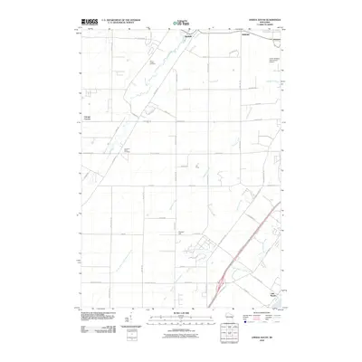 2010 Oneida South2010 Print · USGSThe Fox River valley and the Oneida reservation lands appear here during a period of modern expansion. Genealogists and local historians can trace family locations near Saint Joseph Cemetery, the crossroads at Chicago Corners, and the historic banks of Duck Creek.
 - 2013 Map of Oneida South, 2013 Print
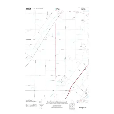 2013 Oneida South2013 Print · USGSThe outskirts of Green Bay come into focus in the early 2010s, where the Austin Straubel International Airport meets rural townships. Genealogists and researchers can trace local landmarks from Oneida and Little Rapids to the heights of Gopher Hill.
 - 2013 Map of De Pere, 2013 Print
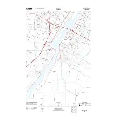 2013 De Pere2013 Print · USGSThe Fox River valley in the early 21st century reveals a mix of suburban growth and long-standing institutional landmarks. Trace the local geography of West De Pere, the Wisconsin State Reformatory, and the Austin Straubel International Airport.
 - 2016 Map of Oneida South, 2016 Print
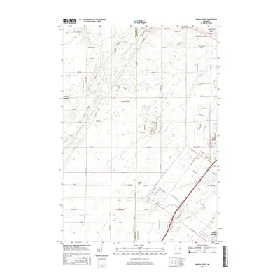 2016 Oneida South2016 Print · USGSThe suburbs and rural outskirts of Green Bay come into focus during the mid-2010s as they expand across the Oneida Reservation. Researchers can trace local heritage at Saint Joseph Cemetery, follow the winding Fox River near Little Rapids, or locate the historic Chicago Corners.
 - 2016 Map of De Pere, 2016 Print
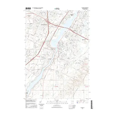 2016 De Pere2016 Print · USGSDe Pere and the southern reaches of Green Bay are shown here during a period of modern expansion along the Fox River. Researchers can locate several historic burial grounds like Mount Olivet Cem and the campus of Saint Norbert Coll.
 - 2018 Map of Oneida South, 2018 Print
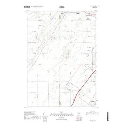 2018 Oneida South2018 Print · USGSThe Green Bay suburbs meet the Oneida Reservation in this modern survey of the Fox River Valley. Genealogists and local historians can trace family locations near Saint Joseph Cem, the crossroads at Chicago Corners, and the banks of Duck Creek.
 - 2018 Map of De Pere, 2018 Print
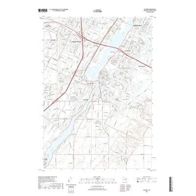 2018 De Pere2018 Print · USGSGreater Green Bay is captured here during its recent suburban and industrial expansion along the historic Fox River corridor. Researchers can trace family history at Allouez Catholic Cem or explore the residential growth of Ashwaubenon and De Pere.
 - 2022 Map of Oneida South, 2022 Print
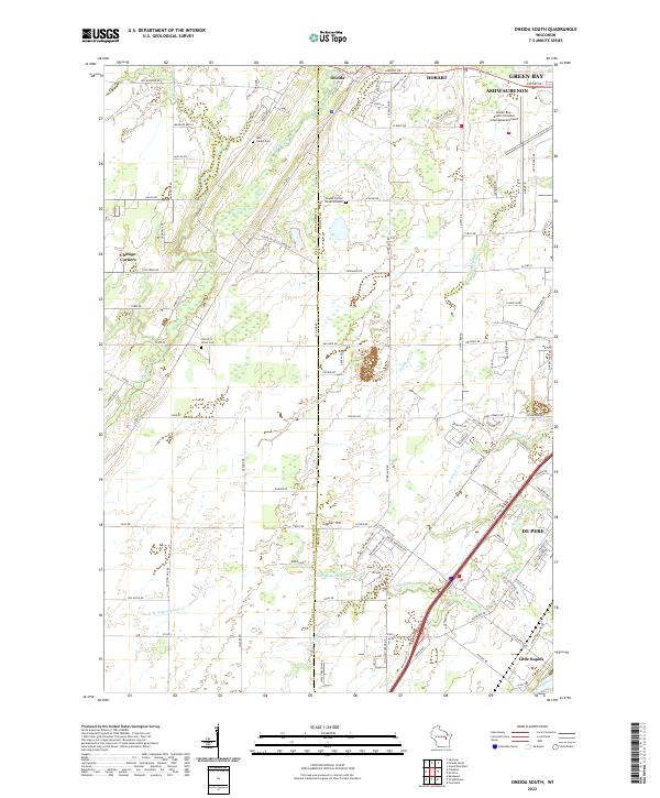 2022 Oneida South2022 Print · USGSGreater Green Bay and the Oneida Reservation are documented in this recent survey, showing the expansion of suburban and industrial infrastructure. Researchers can locate significant sites including the Oneida Sacred Burial Grounds, Saint Joseph Cemetery, and the historic crossing at Little Rapids on the Fox River.
 - 2022 Map of De Pere, 2022 Print
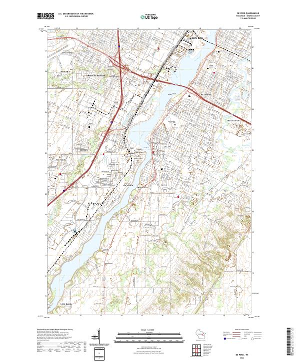 2022 De Pere2022 Print · USGSThe Fox River corridor south of Green Bay is shown in detail during the early 2020s, highlighting the area's deep-rooted academic and religious identity. Genealogists can trace family plots across Saint Norbert Abbey Cem, Woodlawn Cem, and Lawrence Cem.
End of results
Showing maps 1-18 of 18
Top cities near De Pere
- Green Bay historical maps
- Howard historical maps
- Kaukauna historical maps
- Allouez historical maps
- Bellevue historical maps
- Suamico historical maps
See more
Top neighborhoods of De Pere
Frequently asked questions
- What are the different types of historical maps available for De Pere?
- What is the oldest map of De Pere?
- Where can I purchase historical maps of De Pere for my home or office?
- Where can I download high-res historical maps of De Pere?
- Are there historical topographic maps available for De Pere?
- Is there historical aerial imagery available for De Pere?
- Where are historical maps of De Pere sourced from?