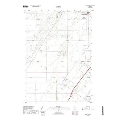
2018 Map of Oneida South
USGS Topo · Published 2018About this map
Duck Creek and its many tributaries, including Hemlock Cr and Ashwaubenon Cr, dominate this landscape southwest of the city center. The map reveals a transition between the dense suburban expansion of Ashwaubenon and De Pere and the more open terrain of the Oneida area. A significant portion of the northeastern quadrant is occupied by the Green Bay-Austin Straubel International Airport, showing the modern infrastructure that serves the region.
Find a feature on this map
96 named features on this map. Tap any name to fly to it.
Don’t see what you’re looking for? This feature index may not catch every label — zoom into the map to look around manually.
Map Details
Editions of this 2018 Oneida South Map
This is the sole edition of this map. No revisions or reprints were ever made.
Other maps of this area

1954 · De Pere
USGS Topo · 1:62,500

1954 · Green Bay West
USGS Topo · 1:24,000

1954 · De Pere
USGS Topo · 1:24,000

1954 · Green Bay
USGS Topo · 1:62,500

1955 · Appleton
USGS Topo · 1:62,500

1955 · Seymour
USGS Topo · 1:62,500

1955 · Green Bay
USGS Topo · 1:250,000

1974 · Seymour
USGS Topo · 1:24,000

1974 · Kaukauna
USGS Topo · 1:24,000

1974 · Greenleaf
USGS Topo · 1:24,000