Old Maps of Holland, Wisconsin for Genealogy
Trace your family roots with 32 historic maps of Holland. These high-res maps reveal old neighborhoods, homesites, landmarks, and streets — helping you uncover where your ancestors lived and how the area evolved over time.
- Explore historic neighborhoods: Identify where your relatives may have lived in the 1800s or 1900s.
- Compare maps over time: Trace the changes in streets, buildings, and landmarks for multi-generational research.
- Perfect for genealogy & ancestry research: Used by family historians and researchers to map out lineage and migration.
These maps are an incredible resource for exploring your personal connection to Holland's past.
Holland, WI maps
(32)- 1954 Map of De Pere, 1956 Print
 1954 De Pere1956 Print · USGSThe Fox River valley in the mid-1950s was a hub of industrial navigation and growing aviation between De Pere and Green Bay. Genealogists can trace family names through dozens of rural sites like St Patrick Cem, Gopher Hill, and the Michaelson Sch (Abandoned).2 unique versions available
 - 1954 Map of Chilton, 1956 Print
 1954 Chilton1956 Print · USGSMid-century Calumet County is captured here during a period of transition for its rural school districts and thriving rail corridors. Genealogists can locate family landmarks such as St Lukes Church, Brillion Cem, and several schoolhouses like the Howe Sch.3 unique versions available
 - 1955 Map of Green Bay, 1968 Print
 1955 Green Bay1968 Print · USGSCentral and Eastern Wisconsin are captured here in the mid-fifties, showing the industrial growth of the Fox Valley and Wisconsin River corridors. Genealogists and historians can trace rail lines like the Green Bay and Western through settlements like Weyauwega, Clintonville, and Pulaski.2 unique versions available
 - 1974 Map of Hilbert, 1977 Print
 1974 Hilbert1977 Print · USGSCalumet County was a thriving rail intersection in the 1970s, where three major lines converged at the village of Hilbert. Genealogists and local historians can trace the community's heritage through landmarks like St Peters Cem, Forest Junction, and the Forest Assembly Ground.
 - 1974 Map of Brillion, 1977 Print
 1974 Brillion1977 Print · USGSBrillion and its neighboring townships are captured in the mid-seventies during a period of steady industrial and agricultural activity. Researchers can trace family-named roads and rural burial grounds like Evergreen Cem, St Marys Cem, and the Chicago and North Western rail line.
 - 1974 Map of Greenleaf, 1978 Print
 1974 Greenleaf1978 Print · USGSCentral Brown County in the mid-seventies reveals a landscape defined by the East River and the rural crossroads of Greenleaf. Genealogists and historians can trace old family roads, St Marys Sch, and the grounds of the Holland State Wildlife Area.
 - 1974 Map of Wrightstown, 1978 Print
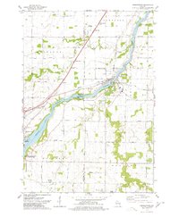 1974 Wrightstown1978 Print · USGSWrightstown and the Fox River valley are captured in the mid-1970s, showing a landscape defined by water power and rural crossroads. Genealogists can locate numerous local burial sites like St Johns Cem and South Lawrence Cem, or trace the old Chicago and Northwestern rail corridor.
 - 1984 Map of Appleton, 1985 Print
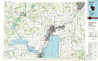 1984 Appleton1985 Print · USGSThe Fox River Valley in the mid-eighties shows a bustling corridor of industry and nature, from the shores of Lake Winnebago to the Oneida Indian Reservation. Trace local heritage through landmarks like Riverside Cem or explore the wetlands of Poygan Marsh State Wildlife Area.2 unique versions available
 - 1992 Map of Hilbert, 1996 Print
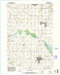 1992 Hilbert1996 Print · USGSCalumet and Brown counties are mapped here in the early 1990s, capturing a landscape of dairy-country road grids and quiet village life. Genealogists can trace family landmarks like Saint Peters Cemetery, the Forest Assembly Ground, and the small settlement of St John.
 - 1992 Map of Brillion, 1996 Print
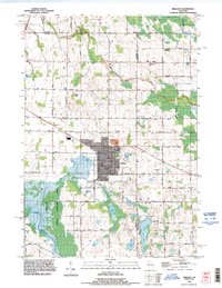 1992 Brillion1996 Print · USGSBrillion and the surrounding dairy country of Calumet County are captured here in the early nineties as the town expanded near the Brillion State Wildlife Area. Local researchers can locate family plots at St Marys Cemetery or trace the old roads like Riets Mills Road and Taus Road.
 - 1992 Map of Greenleaf, 1996 Print
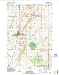 1992 Greenleaf1996 Print · USGSBrown County's rural townships are documented in the early 1990s as the agricultural landscape of Wrightstown and Holland evolved. Researchers can locate family sites such as St Johns Cem, the community of Askeaton, and the industrial footprint of the Quarry near Greenleaf.
 - 1992 Map of Wrightstown, 1996 Print
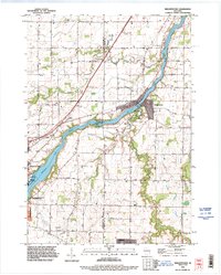 1992 Wrightstown1996 Print · USGSThe Fox River valley in the early nineties shows a balance of industrial power and rural community life. Genealogists can locate several historic burial grounds including St Paul Cemetery and St Johns Cemetery, or trace the path of Plum Creek through Holland.
 - 2010 Map of Brillion, 2010 Print
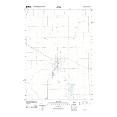 2010 Brillion2010 Print · USGSCalumet County was transitioning into the new millennium when this record of the Brillion area was made. Researchers can trace the layout of family-named roads and historic burial sites such as Bluff Cemetery, Kasson Cemetery, and Rantoul Cemetery.
 - 2010 Map of Wrightstown, 2010 Print
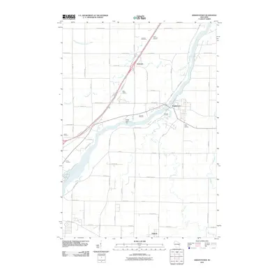 2010 Wrightstown2010 Print · USGSWrightstown and the Fox River valley are shown in this 2010 survey, capturing the agricultural and village life of Brown and Outagamie counties. Researchers can locate numerous local burial sites like Riverside Cemetery and Kelson Cemetery, as well as the Rapids Croche Dam.
 - 2010 Map of Greenleaf, 2010 Print
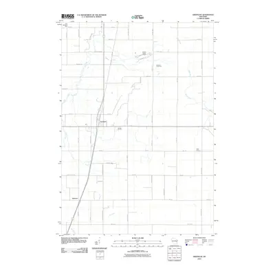 2010 Greenleaf2010 Print · USGSThe Greenleaf area of eastern Wisconsin at the start of the century shows a landscape of steady agricultural heritage and river-bound terrain. Genealogists can trace family roots through Fairview Cemetery and Askeaton, or locate landmarks like the Antique Classic Airport.
 - 2010 Map of Hilbert, 2010 Print
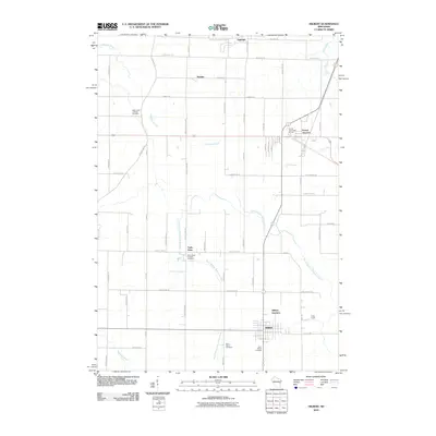 2010 Hilbert2010 Print · USGSCalumet County settlements and rural cemeteries are documented in this 2010 study of the Wisconsin countryside. Genealogists can locate family landmarks like Saint Johns Catholic Cemetery or the community of Forest Junction.
 - 2013 Map of Brillion, 2013 Print
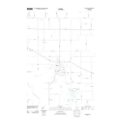 2013 Brillion2013 Print · USGSBrillion and the surrounding Calumet County dairy lands are captured here in the early twenty-first century as the town’s residential grid meets the expansive farm tracts. Genealogists and local historians can trace family-named locations such as K and K Dairy and Ran - Rose Farms, or locate the clustered waters of Long Lake and Becker Lake.
 - 2013 Map of Greenleaf, 2013 Print
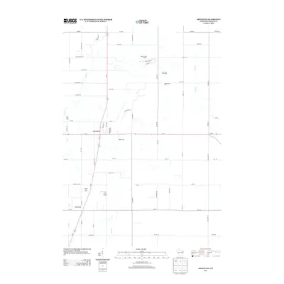 2013 Greenleaf2013 Print · USGSBrown County's rural landscape is captured in the early twenty-first century, centered on the settlement of Greenleaf. Genealogists and researchers can trace family-named properties like Wobeck Farm and local landmarks such as Askeaton and the Birch Creek Airport.
 - 2013 Map of Hilbert, 2013 Print
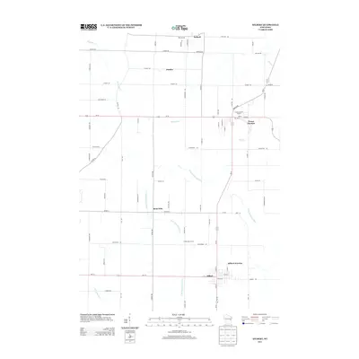 2013 Hilbert2013 Print · USGSThis Calumet County survey captures a modern Wisconsin agricultural landscape defined by established dairy operations and crossroads communities. Researchers can trace family roots along Haen Rd or explore the layout of Forest Junction, Saint John, and the Forest Assembly Ground.
 - 2013 Map of Wrightstown, 2013 Print
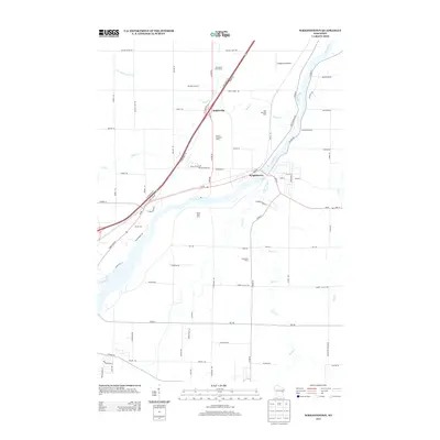 2013 Wrightstown2013 Print · USGSIn the Fox River Valley during the early 2010s, agricultural heritage remains a defining feature of the landscape near the village of Wrightstown. Researchers can trace the footprints of numerous family-run operations like Van Rossum Dairy and Seven Oaks Dairy, or locate unique local landmarks like the Antique Aerodrome.
 - 2016 Map of Hilbert, 2016 Print
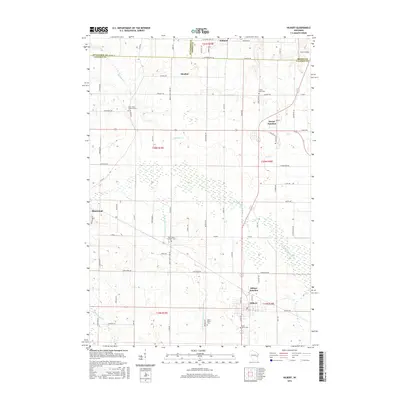 2016 Hilbert2016 Print · USGSCalumet County's agricultural and rail-oriented landscape is captured here in the mid-2010s. Genealogists and local researchers can trace family landmarks across Hilbert, Forest Junction, and Sherwood, or locate rural burial sites like Saint Johns Lutheran Cem.
 - 2016 Map of Brillion, 2016 Print
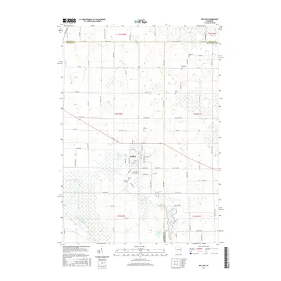 2016 Brillion2016 Print · USGSBrillion and the surrounding dairy country are shown here in the mid-2010s at the meeting point of three Wisconsin counties. Local historians can trace family plots at Saint Marys Cem or Bluff Cem and follow the paths of the North Branch Manitowoc River and Plum Cr.
 - 2016 Map of Greenleaf, 2016 Print
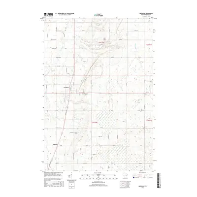 2016 Greenleaf2016 Print · USGSBrown County in the mid-2010s reveals a structured landscape of family farmsteads and rural crossroads. You can trace local lineage through Fairview Cem or locate historical aviation sites like Birch Creek Airport and C R Acres Airport along the East River.
 - 2016 Map of Wrightstown, 2016 Print
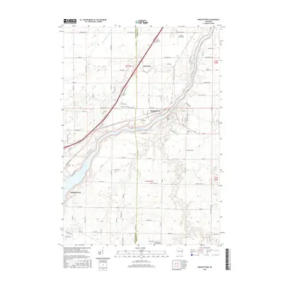 2016 Wrightstown2016 Print · USGSThe Fox River valley in the mid-2010s shows a landscape of established river towns and rural township grids. Researchers can locate numerous local burial sites including Saint Johns Cem and Trinity Cem, or trace the winding course of Plum Creek.
 - 2018 Map of Wrightstown, 2018 Print
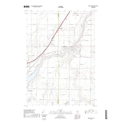 2018 Wrightstown2018 Print · USGSThe Fox River valley between Brown and Outagamie counties comes into focus in this modern survey of eastern Wisconsin. Local researchers can pinpoint numerous burial grounds like Saint Patrick Cemetery and landmarks such as the Antique Aerodrome.
Showing maps 1-25 of 32
Top cities near Holland
- Green Bay historical maps
- De Pere historical maps
- Kaukauna historical maps
- Allouez historical maps
- Bellevue historical maps
- Little Chute historical maps
See more
Top neighborhoods of Holland
Frequently asked questions
- What are the different types of historical maps available for Holland?
- What is the oldest map of Holland?
- Where can I purchase historical maps of Holland for my home or office?
- Where can I download high-res historical maps of Holland?
- Are there historical topographic maps available for Holland?
- Is there historical aerial imagery available for Holland?
- Where are historical maps of Holland sourced from?