Old Maps of Webb Lake, Wisconsin for Hiking & Exploration
Hike through history with 37 historic maps of Webb Lake. Explore old trails, ghost towns, and forgotten backroads — perfect for outdoor adventurers and local explorers.
- Rediscover forgotten places: Map out old mining camps, roads, and footpaths that no longer exist on modern maps.
- Layer with modern tools: Combine with LiDAR or satellite views to plan hikes through historical terrain.
- Made for exploration: Popular among hikers, overlanders, and local history lovers.
Use these maps to find adventure and explore the hidden past of Webb Lake.
Webb Lake, WI maps
(37)- 1949 Map of Hertel
 1949 Hertel1949 Print · USGSThe lakeside communities and rural school districts of northern Wisconsin are frozen in time here in the late forties. Researchers can trace family roots through numerous local sites like Sacred Heart Ch, Hertel, and the Bashaw Brook School.
 - 1949 Map of Webb Lake
 1949 Webb Lake1949 Print · USGSNorthwest Wisconsin’s lake country is captured here in the late 1940s as rural life centered on the St Croix River. Researchers can trace old crossroads and remote outposts like Dairyland, Cozy Corners, and the historic Webb Lake Sch.
 - 1953 Map of Duluth, 1964 Print
 1953 Duluth1964 Print · USGSNortheastern Minnesota and northwestern Wisconsin are shown here during a period of industrial maturity and expanding conservation. Genealogists and historians can trace rail-connected towns like McGrath and Wahkon, or locate heritage sites within the Fond du Lac Indian Reservation.2 unique versions available
 - 1953 Map of Stillwater, 1980 Print
 1953 Stillwater1980 Print · USGSThe Twin Cities and the St. Croix Valley are captured in this mid-century survey as the interstate era began to transform the Upper Midwest. Genealogists and historians can trace the rail-and-river geography of Stillwater, locate landmarks in Anoka, or explore the sprawling St Croix State Park.
 - 1955 Map of Hertel, 1957 Print
 1955 Hertel1957 Print · USGSNorthwest Wisconsin lakeland is captured here in the mid-fifties, centered on the community of Hertel. Researchers can pinpoint vanished rural institutions like Bashaw Brook Sch, North Dewey Sch, and the McKenzie Lake Lookout Tower.2 unique versions available
 - 1955 Map of Webb Lake, 1957 Print
 1955 Webb Lake1957 Print · USGSNorthwestern Wisconsin’s lake country is captured here in the mid-fifties, showing the confluence of the St. Croix and Namekagon rivers. Researchers can trace rural life through sites like Cozy Corner, the Webb Lake Sch, and the Dairyland Lookout Tower.2 unique versions available
 - 1955 Map of Stillwater, 1965 Print
 1955 Stillwater1965 Print · USGSThe Upper St. Croix Valley and the growing Twin Cities area are shown here during the mid-fifties, before the interstate era transformed the regional commute. You can trace the lines of the Northern Pacific RR through towns like Rush City or locate the Saint Croix Indian Reservation.
 - 1958 Map of Stillwater
 1958 Stillwater1958 Print · USGSThe Upper Mississippi and St. Croix River valleys appear in the mid-fifties as the Twin Cities expanded north. Genealogists can locate family landmarks like Oak Park Cem, Saint Michael Church, and the Soo Line RR rail corridors.2 unique versions available
 - 1958 Map of Duluth
 1958 Duluth1958 Print · USGSNortheastern Minnesota and the Wisconsin borderlands are shown in detail during the late 1950s, centered on the bustling rail yards and ports of Duluth. You can trace the historic routes of the Soo Line and Duluth Missabe & Iron Range through small towns like McGrath, Bruno, and Wrenshall.
 - 1965 Map of Stillwater
 1965 Stillwater1965 Print · USGSThe Twin Cities and the St. Croix Valley are mapped here during a period of significant post-war growth and industrial transit. Genealogists and historians can trace rail lines like the Northern Pacific RR through towns such as Rush City, Amery, and Balsam Lake.
 - 1975 Map of Stillwater
 1975 Stillwater1975 Print · USGSThe Twin Cities and the St. Croix Valley are captured in the mid-seventies, showing the urban growth of Minneapolis and St Paul. Researchers can trace old rail corridors of the Northern Pacific RR and locate tribal lands at the Mille Lacs Indian Reservation.2 unique versions available
 - 1980 Map of Sandstone
 1980 Sandstone1980 Print · USGSPine County and the Minnesota-Wisconsin borderlands are shown here in the early eighties as a region of dense state forests and river corridors. Genealogists and historians can trace rail-town development along the Burlington Northern including Sandstone, Askov, and Hinckley.
 - 1982 Map of Birch Island Lake, 1983 Print
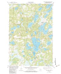 1982 Birch Island Lake1983 Print · USGSNorthwest Wisconsin in the early eighties shows a landscape of glacial lakes transitioning into a modern recreational hub. Genealogists and local historians can trace family markers at the Jackson Cem or explore the development around Birch Island Lake and Voyager Village Country Club.
 - 1982 Map of Mc Kenzie Lake, 1983 Print
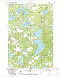 1982 Mc Kenzie Lake1983 Print · USGSThe lake country of northwest Wisconsin comes alive in the early eighties, showcasing a landscape of dense woods and glacial basins. Genealogists and local historians can locate the Sacred Hearts Cem, the McKenzie Lake Lookout Tower, and the St Croix Indian Reservation.
 - 1983 Map of Webb Lake
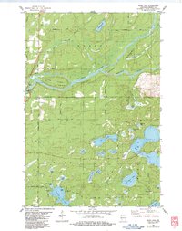 1983 Webb Lake1983 Print · USGSBurnett County’s glaciated lake country comes into focus in the early 1980s, centered on the confluence of the St. Croix and Namekagon rivers. Genealogists and researchers can trace local family landmarks like Hillcrest Cem, the Swiss Cem, and the riverside community of Riverside.
 - 1983 Map of Frog Lake
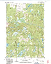 1983 Frog Lake1983 Print · USGSThe Burnett and Washburn county borderlands are shown here in the early eighties as a dense maze of glacial lakes and riverways. You can trace early township landmarks like Forest Home Cem, the Fivemile Lookout Tower, and crossings at McDowell Bridge.
 - 1985 Map of Grantsburg
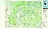 1985 Grantsburg1985 Print · USGSThe river borderlands of Minnesota and Wisconsin come alive in the mid-1980s, showcasing the intricate water networks and forest preserves of Burnett and Pine counties. Trace the rail lines of the Soo Line or find rural landmarks like Trade Lake Ch and Hildas Corner.2 unique versions available
 - 2010 Map of Birch Island Lake, 2010 Print
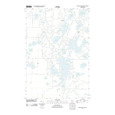 2010 Birch Island Lake2010 Print · USGSBurnett County’s lake country is captured here in the early 2000s, showing a landscape defined by glacial waters and vacation-era development. Researchers can locate Jackson Cemetery or trace the drainage of Loon Creek and the Voyager Village Airstrip.
 - 2010 Map of McKenzie Lake, 2010 Print
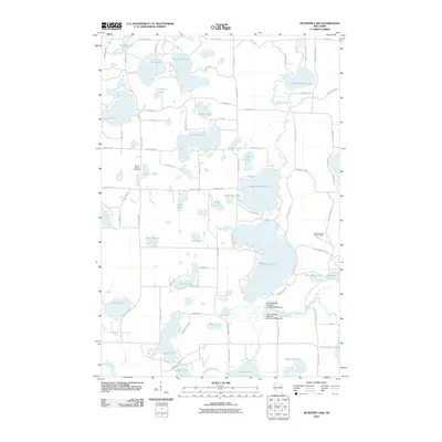 2010 McKenzie Lake2010 Print · USGSWisconsin's lake country is detailed here during the early twenty-first century, showing a landscape defined by glacial waters and cranberry production. Researchers can locate Sacred Hearts Cemetery, the McKenzie Lake Lookout Tower, and the dams of the South Midwest Cranberry Company WP99 Dam.
 - 2010 Map of Webb Lake, 2010 Print
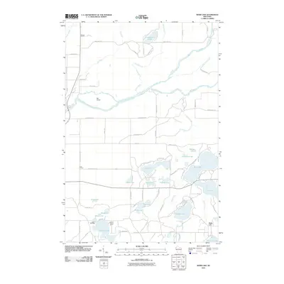 2010 Webb Lake2010 Print · USGSBurnett County’s river junctions and dense lake clusters are captured here at the start of the decade. Genealogists and researchers can locate Hillcrest Cemetery, Swiss Cemetery, and the waterfront Luther Park Camp.
 - 2010 Map of Frog Lake, 2010 Print
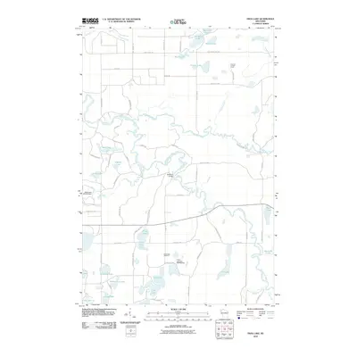 2010 Frog Lake2010 Print · USGSThe northern Wisconsin lakelands and river bends are captured here in the early 21st century. Genealogists and local historians can locate the Webb Lake Cemetery and trace landmarks like Fivemile Lookout Tower or the McDowell Bridge.
 - 2013 Map of Webb Lake, 2013 Print
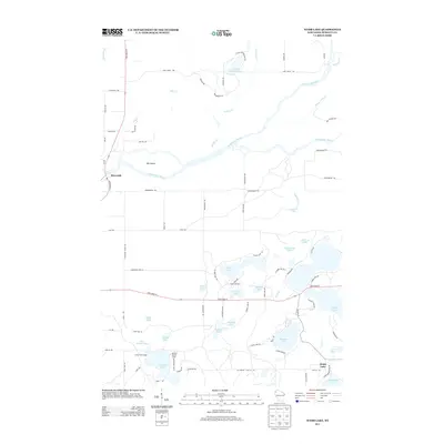 2013 Webb Lake2013 Print · USGSBurnett County’s lake country is captured here during the early twenty-first century, showing the waterways that define this region. Genealogists and locals can trace the roads around Webb Lake, locate Riverside on the river, or find seasonal landmarks like Luther Park Camp.
 - 2013 Map of Frog Lake, 2013 Print
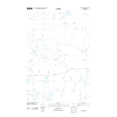 2013 Frog Lake2013 Print · USGSThe Burnett County northwoods are captured here in the early twenty-first century as a complex landscape of rivers and glacial lakes. Local historians can trace routes like Saint Croix Trl and Red School House Rd past landmarks like Fivemile Lookout Tower.
 - 2013 Map of Birch Island Lake, 2013 Print
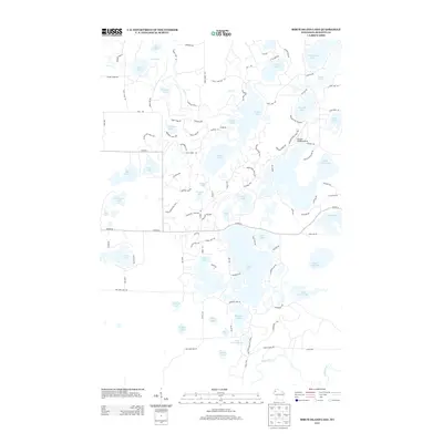 2013 Birch Island Lake2013 Print · USGSWisconsin's lakeland region in Burnett County is defined by its sprawling network of glacial basins and recreational retreats. Modern researchers can trace access roads and landing strips like the Voyager Village Airstrip and study the shorelines of Birch Island Lake and Sand Lake.
 - 2013 Map of McKenzie Lake, 2013 Print
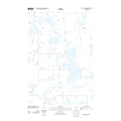 2013 McKenzie Lake2013 Print · USGSBurnett County’s lake country is captured here during the early twenty-first century, showing a landscape defined by glacial waters and rural retreats. Researchers can trace shoreline developments and landmarks like the Alpha Hotel Airport, McKenzie Lake, and Nicaboyne Lake.
Showing maps 1-25 of 37
Top cities near Webb Lake
- Spooner historical maps
- Trego historical maps
- Gordon historical maps
- Wascott historical maps
- Beaver Brook historical maps
- Dairyland historical maps
See more
Frequently asked questions
- What are the different types of historical maps available for Webb Lake?
- What is the oldest map of Webb Lake?
- Where can I purchase historical maps of Webb Lake for my home or office?
- Where can I download high-res historical maps of Webb Lake?
- Are there historical topographic maps available for Webb Lake?
- Is there historical aerial imagery available for Webb Lake?
- Where are historical maps of Webb Lake sourced from?