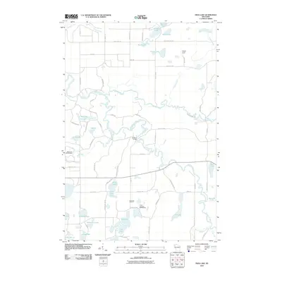
2010 Map of Frog Lake
USGS Topo · Published 2010About this map
Totagatic River and Namekagon River meander through this northern Wisconsin landscape, their courses defining the drainage patterns of Burnett County. The map reveals a dense network of water bodies, from the prominent Frog Lake and Prinel Lake to smaller basins like Miniature Lake and No Mans Lake. Water management is evident through engineering features such as the Webb Lake 2WP466 Dam and the Lower Lost Lake 2WP936 Dam.
Find a feature on this map
69 named features on this map. Tap any name to fly to it.
Don’t see what you’re looking for? This feature index may not catch every label — zoom into the map to look around manually.
Map Details
Editions of this 2010 Frog Lake Map
This is the sole edition of this map. No revisions or reprints were ever made.
Other maps of this area

1947 · Minong
USGS Topo · 1:48,000

1948 · Spooner
USGS Topo · 1:48,000

1949 · Hertel
USGS Topo · 1:48,000

1949 · Minong
USGS Topo · 1:48,000

1949 · Webb Lake
USGS Topo · 1:48,000

1949 · Spooner
USGS Topo · 1:48,000

1953 · Ashland
USGS Topo · 1:250,000

1953 · Duluth
USGS Topo · 1:250,000

1953 · Rice Lake
USGS Topo · 1:250,000

1953 · Stillwater
USGS Topo · 1:250,000