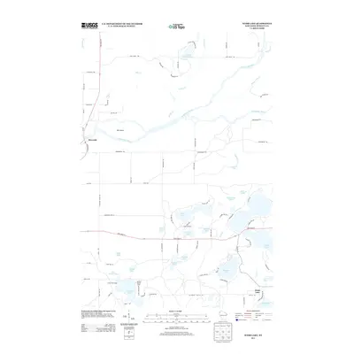
2013 Map of Webb Lake
USGS Topo · Published 2013About this map
The confluence of the Saint Croix River and the Namekagon River defines the northwest corner of this Burnett County landscape, where the water wraps around a substantial landform known as Big Island. This area, documented in 2013, reflects a transition from the river-dominated north to a lake-dense southern region. The settlement of Riverside sits along the riverbank near State Road 35, while the community of Webb Lake serves as a hub for the surrounding glacial lakes.
Find a feature on this map
84 named features on this map. Tap any name to fly to it.
Don’t see what you’re looking for? This feature index may not catch every label — zoom into the map to look around manually.
Map Details
Editions of this 2013 Webb Lake Map
This is the sole edition of this map. No revisions or reprints were ever made.
Other maps of this area

1949 · Danbury
USGS Topo · 1:48,000

1949 · Hertel
USGS Topo · 1:48,000

1949 · Webb Lake
USGS Topo · 1:48,000

1950 · Webster
USGS Topo · 1:48,000

1953 · Duluth
USGS Topo · 1:250,000

1953 · Stillwater
USGS Topo · 1:250,000

1955 · Hertel
USGS Topo · 1:62,500

1955 · Webb Lake
USGS Topo · 1:62,500

1955 · Webster
USGS Topo · 1:62,500

1955 · Stillwater
USGS Topo · 1:250,000