2000s (21st Century) Maps of Chippewa County, Wisconsin
Explore 170 historic maps of Chippewa County from the 2000s (21st Century). These maps offer a rare glimpse into what life looked like during the 2000s — showing old roads, neighborhoods, homes, and landmarks that have changed or disappeared over time.
Whether you're researching your family's past, planning a metal detecting trip, or studying how Chippewa County's landscape evolved across the 2000s, these high-resolution maps are a powerful tool for exploring the history of this region.
- Focus on a specific era: All maps on this page are from the 2000s, giving you a focused view of this time period.
- See what’s changed: Compare century-old streets, trails, and buildings to today's modern landscape using overlays and satellite layers.
- Research with precision: Use these maps for genealogy, historical research, land use analysis, or educational projects.
- View, download, or print: Maps are fully viewable online in high resolution, and can be downloaded or printed for your own records.
Start exploring Chippewa County's history through authentic maps from the 2000s. This is your window into the past.
Chippewa County, WI maps
(170)- 2010 Map of Stanley, 2010 Print
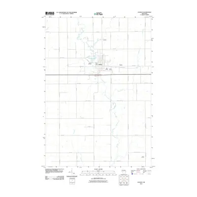 2010 Stanley2010 Print · USGSThe city of Stanley is documented here at the end of the first decade of the 2000s, centered on the Wolf River. Researchers can trace local heritage through five distinct burial grounds including Worden Cemetery or locate the site of the Stanley Mill Dam.
 - 2010 Map of Simes Creek, 2010 Print
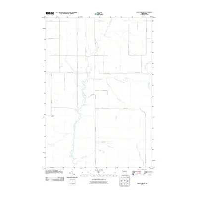 2010 Simes Creek2010 Print · USGSChippewa County remains a landscape of rivers and woodland roads during this early 21st-century survey. You can trace the waters of Hamilton Falls and locate the Wilson Lookout Tower amidst a grid of rural routes like Ritter Rd.
 - 2010 Map of Cornell, 2010 Print
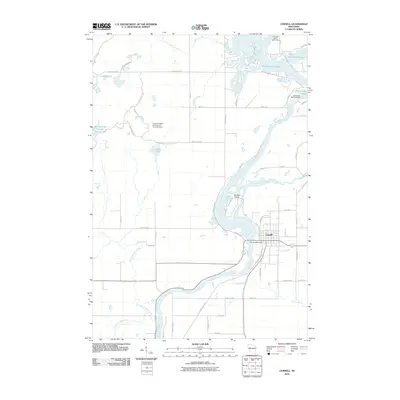 2010 Cornell2010 Print · USGSWisconsin's river-driven landscape is on display in this Chippewa County survey at the start of the 2010s. Researchers can trace the development of Cornell and identify local landmarks like the Cornell 2WP7 Dam and the shoreline of Brunet Island.
 - 2010 Map of Eau Claire East, 2010 Print
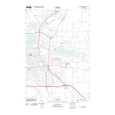 2010 Eau Claire East2010 Print · USGSThe eastern reaches of Eau Claire and Altoona are documented here in the early twenty-first century as they grew along the Chippewa and Eau Claire rivers. Genealogists and local researchers can locate established community landmarks like Forest Hill Cemetery, Dells Siding, and the Altoona 2WP340 Dam.
 - 2010 Map of Fall Creek, 2010 Print
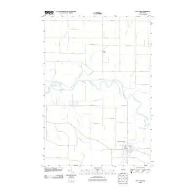 2010 Fall Creek2010 Print · USGSEau Claire County at the start of the 2010s shows a landscape of river-fed valleys and rural homesteads centered on the village of Fall Creek. Researchers can locate family heritage sites like Trinity Cemetery and industrial landmarks such as the Vogler Flour Mill Dam.
 - 2010 Map of Como Creek, 2010 Print
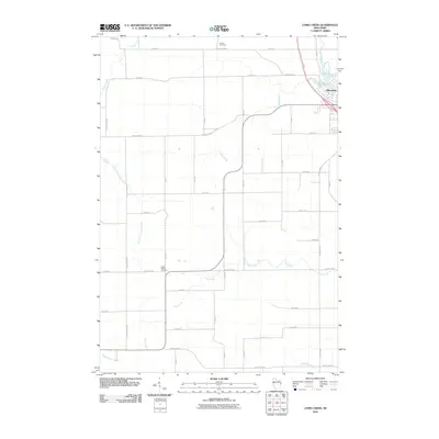 2010 Como Creek2010 Print · USGSUpper Chippewa County at the start of the 2010s shows a landscape of steady agricultural roots and winding creek valleys. Researchers can trace rural family sites near Auburn Cemetery, the waters of Lake Como, and the outskirts of Bloomer.
 - 2010 Map of Ladysmith SE, 2010 Print
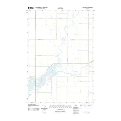 2010 Ladysmith SE2010 Print · USGSThe rural border of Rusk and Chippewa counties is captured here in the early twenty-first century, centered on the wetlands of the Jump River. Researchers can trace old family land plots along Homestead Rd or explore the drainage of Main Creek.
 - 2010 Map of New Auburn, 2010 Print
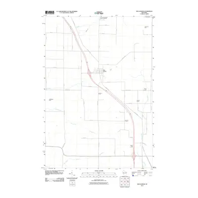 2010 New Auburn2010 Print · USGSThe village of New Auburn and its surrounding farmstead grid are captured here in the early twenty-first century. Genealogists and local historians can locate several rural burial sites, such as Marquardt Cemetery and Pleasant Valley Cemetery, alongside landmarks like Old Maids Bluff.
 - 2010 Map of Moose Ear Lake, 2010 Print
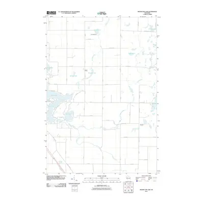 2010 Moose Ear Lake2010 Print · USGSBarron County is shown in detail during the early twenty-first century, featuring the intricate chain of lakes east of Chetek. Genealogists and local historians can pinpoint the Johnson Cemetery, the Eyk E2980 Dam, and the winding path of Moose Ear Creek.
 - 2010 Map of Boyd, 2010 Print
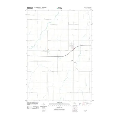 2010 Boyd2010 Print · USGSThe village of Boyd and the surrounding township of Edson are documented here during the first decade of the new millennium. Family history researchers can trace the locations of Saint Peter Cemetery, Saint Joseph Cemetery, and several crossings of the Yellow River.
 - 2010 Map of Albertville, 2010 Print
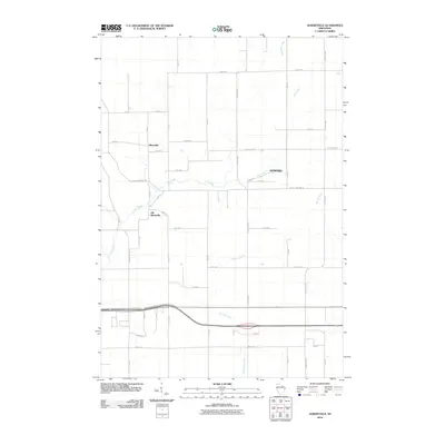 2010 Albertville2010 Print · USGSThe Town of Wheaton area comes into focus in this 2010 study, capturing the transition between traditional rural centers and modern infrastructure. Genealogists and local historians can trace the shift from Old Albertville to Albertville while following the riparian paths of Elk Creek and Sherman Creek.
 - 2010 Map of Colburn, 2010 Print
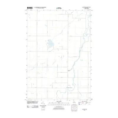 2010 Colburn2010 Print · USGSChippewa County agriculture and the winding Yellow River define this rural landscape in the early twenty-first century. Genealogists and local historians can locate the Walker-Jackson Cemetery and trace the paths of Pike Creek and Big Drywood Creek.
 - 2010 Map of Lake Eau Claire East, 2010 Print
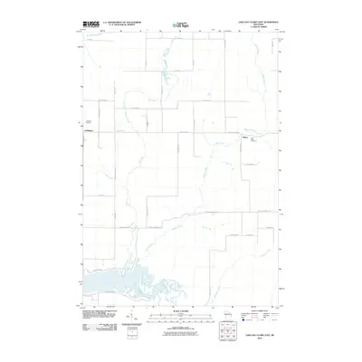 2010 Lake Eau Claire East2010 Print · USGSChippewa County is documented here in the early 2000s, showing a rural landscape defined by the Eau-Claire River. Genealogists and local historians can locate Ludington Cemetery and Saint Peter Cemetery near the communities of Ludington and Wilson.
 - 2010 Map of Lake Wissota, 2010 Print
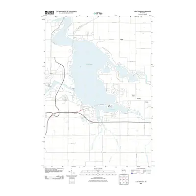 2010 Lake Wissota2010 Print · USGSChippewa County is centered on the massive reservoir of Lake Wissota during this era of modern development and recreation. Researchers can locate the Bateman Cemetery, trace the Old Abe State Trail, and explore the grounds of Lake Wissota State Park.
 - 2010 Map of Eau Claire West, 2010 Print
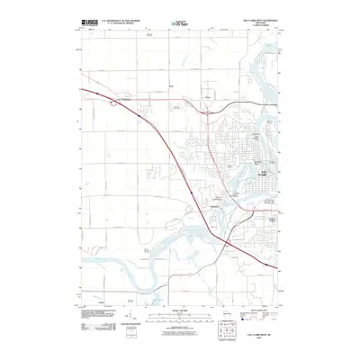 2010 Eau Claire West2010 Print · USGSEau Claire and the banks of the Chippewa River are captured here in the early twenty-first century as the city expanded westward. Researchers can trace local landmarks like McCombs Cemetery, the Silver Mine Hill Ski Jump, and the University of Wisconsin - Eau Claire Campus.
 - 2010 Map of Crescent, 2010 Print
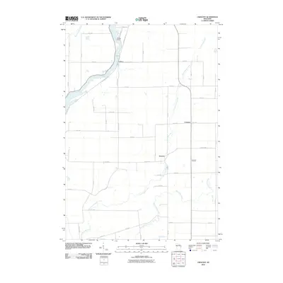 2010 Crescent2010 Print · USGSChippewa County is shown here in the early twenty-first century, centered on the river valleys and rural crossroads of Eagle Point. Genealogists and local historians can trace family land near the Bohemian Cemetery or follow the river from Cobban to Willow Island.
 - 2010 Map of Sand Creek, 2010 Print
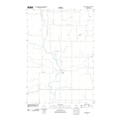 2010 Sand Creek2010 Print · USGSDunn County at the start of the 2010s shows a landscape of river-valley settlements and quiet rural crossroads. Genealogists and local historians can trace family locations through several landmark burial sites like Zion Cemetery and Myron Cemetery.
 - 2010 Map of Marsh-Miller Lake, 2010 Print
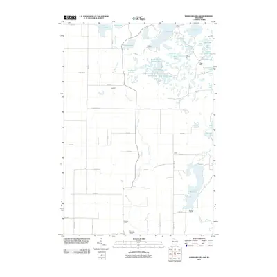 2010 Marsh-Miller Lake2010 Print · USGSWisconsin's lake country is captured here during the first decade of the millennium, featuring a dense network of glacial waters and recreational retreats. Researchers can trace local heritage at Tillinghast Cemetery and Rufledt Cemetery or explore the shores of Marsh-Miller Lake.
 - 2010 Map of Jim Falls, 2010 Print
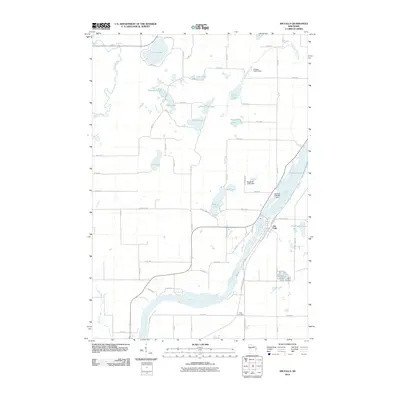 2010 Jim Falls2010 Print · USGSThe Chippewa River dominates the landscape near Jim Falls in the early twenty-first century, showing a complex system of river management. Genealogists and hikers can trace the Old Abe State Trl or locate family roots at Copp Cemetery and around Cornell Lake.
 - 2010 Map of Lake Eau Claire West, 2010 Print
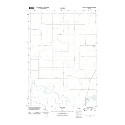 2010 Lake Eau Claire West2010 Print · USGSEau Claire County's rural landscape is documented here during the early twenty-first century, centered on the settlement of Ludington. Researchers can trace family history through the Ludington Cemetery and Bethlehem Cemetery or follow the path of the Eau Claire River.
 - 2010 Map of Holcombe, 2010 Print
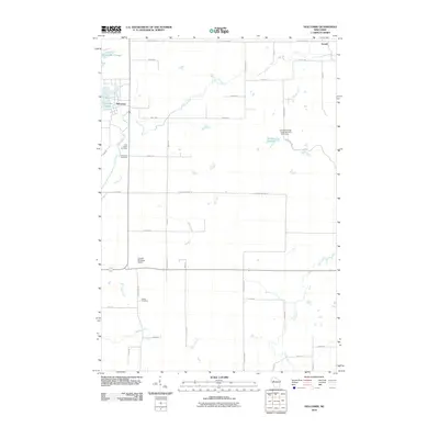 2010 Holcombe2010 Print · USGSUpper Chippewa County in the early twenty-first century is defined by its expansive waterways and rural townships. Genealogists and researchers can locate Saint Joseph Cemetery, trace the banks of Holcombe Flowage, and find the small settlement of Arnold.
 - 2010 Map of Bloomer, 2010 Print
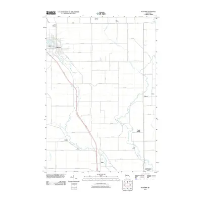 2010 Bloomer2010 Print · USGSChippewa County at the turn of the decade reflects a well-ordered landscape of dairy-land roads and quiet creek valleys. Genealogists and historians can locate numerous rural burial sites like Tilden Cemetery or trace the early industrial footprint of the Bloomer Mill Dam.
 - 2010 Map of Elk Creek Lake, 2010 Print
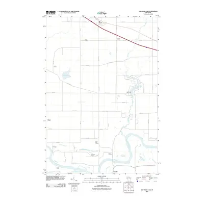 2010 Elk Creek Lake2010 Print · USGSWisconsin's western river valleys are seen here in the early 2000s as the landscape transitions from the heights of Elk Mound down to the Chippewa River. Researchers can locate numerous family and community landmarks, including the Spring Brook Cemetery and the Elk Creek WP247 Dam.
 - 2010 Map of Chippewa Falls, 2010 Print
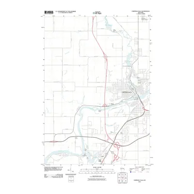 2010 Chippewa Falls2010 Print · USGSChippewa Falls and the surrounding Wisconsin river valley are captured here just after the first decade of the new millennium. Genealogists and historians can trace family plots across five local cemeteries or locate the historic sites of Old Badger Mills and Irvine.
 - 2010 Map of Colfax North, 2010 Print
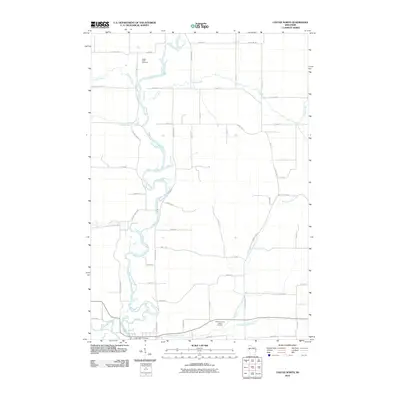 2010 Colfax North2010 Print · USGSDunn County farmland north of Colfax is defined by the winding course of the Red Cedar River and its many tributaries at the start of the decade. Researchers can locate family landmarks like Popple Creek Cemetery or trace the rural road network near Running Valley Creek.
Showing maps 1-25 of 170
Top cities of Chippewa County
- Chippewa Falls historical maps
- Lake Hallie historical maps
- Stanley historical maps
- Bloomer historical maps
- Eagle Point historical maps
- Anson historical maps
See more
Frequently asked questions
- What are the different types of historical maps available for Chippewa County?
- What is the oldest map of Chippewa County?
- Where can I purchase historical maps of Chippewa County for my home or office?
- Where can I download high-res historical maps of Chippewa County?
- Are there historical topographic maps available for Chippewa County?
- Is there historical aerial imagery available for Chippewa County?
- Where are historical maps of Chippewa County sourced from?