Old Maps of Tilden, Wisconsin for Metal Detecting
Plan your next treasure hunt with 23 historic maps of Tilden. Find old homesites, ghost towns, trails, and gathering spots that may be lost to time — perfect for identifying promising metal detecting locations.
- Locate forgotten sites: Uncover places like long-lost settlements, abandoned rail lines, or gathering spots.
- Plan better hunts: Use map overlays combined with LiDAR or satellite views to narrow in on historically rich areas.
- Made for detectorists: Thousands of hobbyists use these maps to discover relics, coins, and hidden history.
Use these historic maps to boost your research and find new opportunities beneath the surface of Tilden.
Tilden, WI maps
(23)- 1934 Map of Elk Mound, 1960 Print
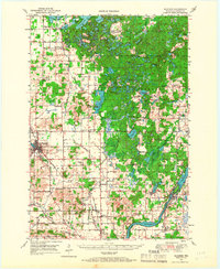
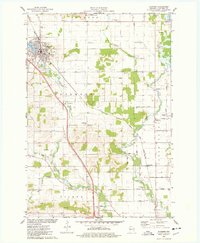
 1934 Elk Mound1960 Print · USGSDunn and Eau Claire counties come alive in this mid-thirties survey, showing the intricate network of rural schools and the bustling rail corridor through Elk Mound. Genealogists can trace family roots at Porters Mills, Big Elk Creek Ch, or numerous local school sites like Waneka Sch.2 unique versions available
 - 1934 Map of Chippewa Falls, 1967 Print
 1934 Chippewa Falls1967 Print · USGSThe Chippewa and Eau Claire River valleys are captured here in the 1930s as vital rail and water hubs. Genealogists can locate family-named landmarks like Old Badger Mills, Anson Sta, and dozens of rural schoolhouses such as Tilden Mill Sch.2 unique versions available
 - 1936 Map of Chippewa Falls
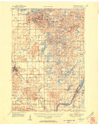
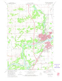
 1936 Chippewa Falls1936 Print · USGSChippewa Falls and Eau Claire are captured here in the mid-1930s, showing a landscape defined by the convergence of major rivers and the massive Lake Wissota. Trace the rail lines of the C and NW Line or locate ancestral sites like Old Badger Mills, Hallie Ch, and numerous rural schools.3 unique versions available
 - 1936 Map of Elk Mound
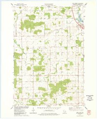
 1936 Elk Mound1936 Print · USGSDunn and Eau Claire Counties in the mid-thirties show a landscape of thriving rural school districts and river-bound commerce. Genealogists can trace family landmarks like The Yankee Woods or locate vanished sites like Porters Mills and the Old Meridean Ferry.2 unique versions available
 - 1949 Map of Bloomer, 1966 Print
 1949 Bloomer1966 Print · USGSThe dairy farms and lake country of northwestern Wisconsin are captured here in the late 1940s. Genealogists can trace rural family roots through numerous local schools and cemeteries, from Mile Corner Sch and Modern Sch to Tillinghast Cem and Rutledge Cem.2 unique versions available
 - 1949 Map of New Auburn, 1967 Print
 1949 New Auburn1967 Print · USGSWisconsin's rural dairy and timber heartland is meticulously documented here just after the war, showing the tight-knit settlement of western Chippewa County. Genealogists can trace family roots through numerous local landmarks like Fox Settlement, Lower Lutheran Ch, and New Auburn Cem.
 - 1951 Map of Bloomer
 1951 Bloomer1951 Print · USGSPost-war Chippewa County is seen here during a period of rural consolidation across its glaciated lake country. Local researchers can trace family roots through numerous country schools and cemeteries, including Tillinghast Cem, Emanuel Ch, and Larson Sch.2 unique versions available
 - 1951 Map of New Auburn
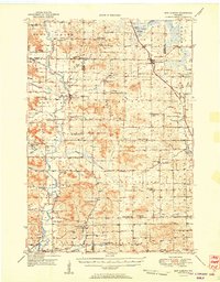 1951 New Auburn1951 Print · USGSThe intersection of Barron, Dunn, and Chippewa counties comes into focus in the early 1950s, showing a landscape thick with local school districts and rural parishes. Genealogists can trace family footprints through dozens of named sites like Fox Settlement Sch, Dovre Ch, and the New Auburn Cem.
 - 1953 Map of Eau Claire, 1965 Print
 1953 Eau Claire1965 Print · USGSWest-central Wisconsin in the mid-fifties shows a landscape of river-valley industry and vast wildlife refuges during the transition from rails to modern highways. Genealogists and historians can trace the rail corridors of the Chicago and North Western or locate family-named landmarks like Decorah Mound and Chippewa Island.4 unique versions available
 - 1953 Map of Rice Lake, 1967 Print
 1953 Rice Lake1967 Print · USGSNorthwest Wisconsin during the mid-fifties reveals a landscape defined by timber, rail, and water. Genealogists and historians can trace the development of river towns like Ladysmith and Rice Lake along the Soo Line and Chicago and North Western railroads.2 unique versions available
 - 1958 Map of Eau Claire
 1958 Eau Claire1958 Print · USGSWestern Wisconsin in the late fifties shows a landscape of growing regional hubs and massive wildlife refuges. Trace the rail lines of the Chicago and North Western between Eau Claire and Marshfield, or explore the terrain around Iron Mound and Lake Wissota.
 - 1959 Map of Rice Lake
 1959 Rice Lake1959 Print · USGSNorthwest Wisconsin in the late fifties was a land of expanding road networks and deep-seated timber history. Genealogists and historians can trace rail lines like the Soo Line RR and Chicago St Paul Minneapolis and Omaha Ry as they link settlements from Spooner to Medford.
 - 1964 Map of Eau Claire
 1964 Eau Claire1964 Print · USGSWest-central Wisconsin in the mid-1960s was a hub of river-driven industry and expanding rail networks. Researchers can trace historic homesteads near Menomonie, follow the Soo Line RR through Marshfield, or explore the grounds of the Camp McCoy Military Reservation.
 - 1972 Map of Albertville, 1975 Print
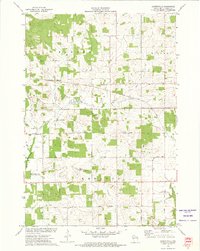 1972 Albertville1975 Print · USGSChippewa County agriculture and industry meet in the early seventies, showing a landscape defined by the Soo Line and rural townships. Genealogists and local historians can trace family-named routes like Nelson Road and locate the original village site at Old Albertville.
 - 1972 Map of Chippewa Falls, 1975 Print
 1972 Chippewa Falls1975 Print · USGSChippewa Falls is captured here in the early seventies as a thriving rail and industrial center along the Chippewa River. Genealogists and local historians can trace old family plots in Forest Hill Cemetery or locate landmarks like Old Badger Mills and the McDonell Central High School.2 unique versions available
 - 1975 Map of Bloomer, 1978 Print
 1975 Bloomer1978 Print · USGSBloomer and the surrounding townships of Tilden and Woodmohr are captured here in the mid-seventies, showing a landscape defined by the C & NW rail line. Genealogists can trace family names through sites like Tilden Cem, Eagleton Cem, and Scandinavian Ch.
 - 1975 Map of Como Creek, 1978 Print
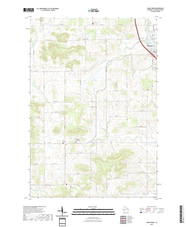
 1975 Como Creek1978 Print · USGSChippewa County agriculture and township boundaries are captured here in the mid-1970s. Researchers can trace family roots at Cooks Valley Cem, St Johns Ch, and the settlement of Albert along the banks of Como Lake.
 - 1980 Map of Bloomer
 1980 Bloomer1980 Print · USGSNorthwestern Wisconsin at the start of the eighties shows a landscape deeply connected to its rivers and rail lines. Genealogists and historians can trace the growth of Bloomer, Ladysmith, and Chetek or locate local landmarks like Brunet Island State Park and the Soo Line rail corridors.
 - 1985 Map of Eau Claire
 1985 Eau Claire1985 Print · USGSWestern Wisconsin's river valleys and growing mid-century cities are captured here in the mid-eighties. Genealogists and historians can trace the paths of the Chicago and North Western railroad and locate rural landmarks like Dells Millpond and Nine Mile Island.2 unique versions available
 - 2022 Map of Como Creek, 2022 Print
 2022 Como Creek2022 Print · USGSChippewa County as it appeared in 2022 reveals a landscape where the city of Bloomer meets a intricate network of rural creeks and family cemeteries. Genealogists and local researchers can trace historic sites like Cooks Valley Cem, Auburn Cem, and the flow of Eighteenmile Cr.
 - 2022 Map of Albertville, 2022 Print
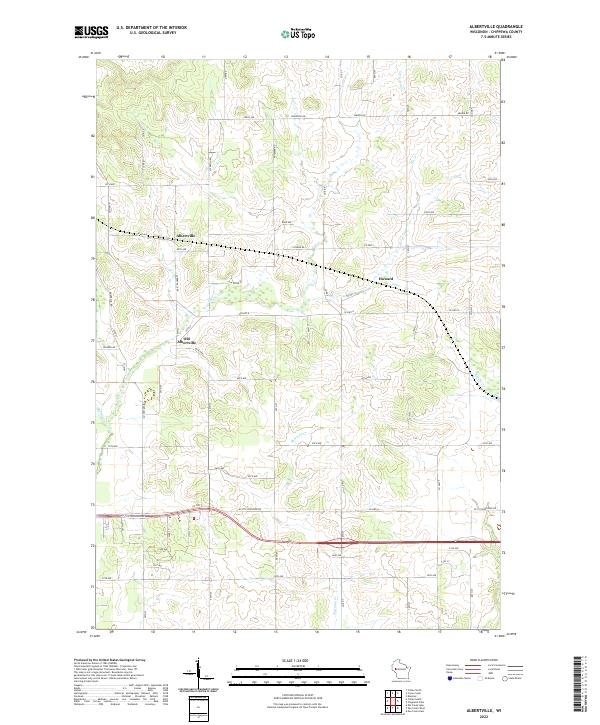 2022 Albertville2022 Print · USGSChippewa County in the early twenty-first century reveals a landscape of enduring rural settlements and agricultural townships. Researchers can trace the shifting geography of the area between Albertville, Old Albertville, and the small community of Howard.
 - 2022 Map of Chippewa Falls, 2022 Print
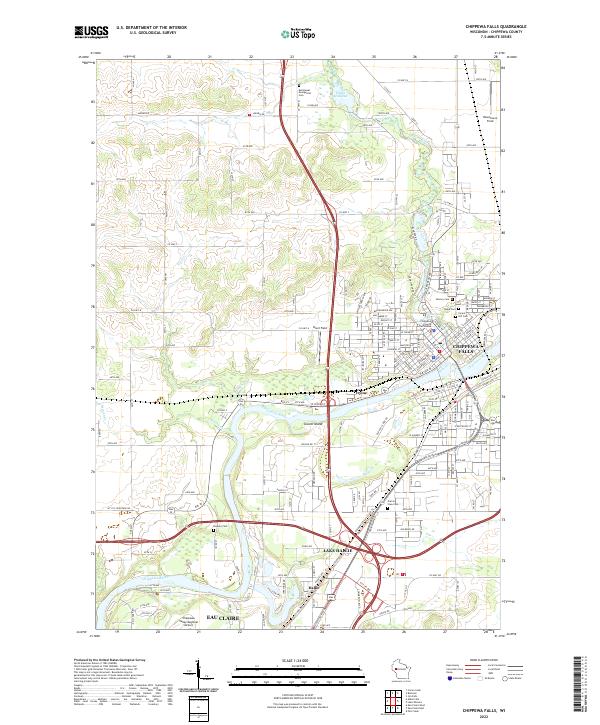 2022 Chippewa Falls2022 Print · USGSThe confluence of the Chippewa River and Duncan Creek anchors this recent look at the Chippewa Valley. Researchers can trace local history through the Chippewa County Courthouse and numerous burial grounds like Prairie View Cem and Forest Hill Cem.
 - 2022 Map of Bloomer, 2022 Print
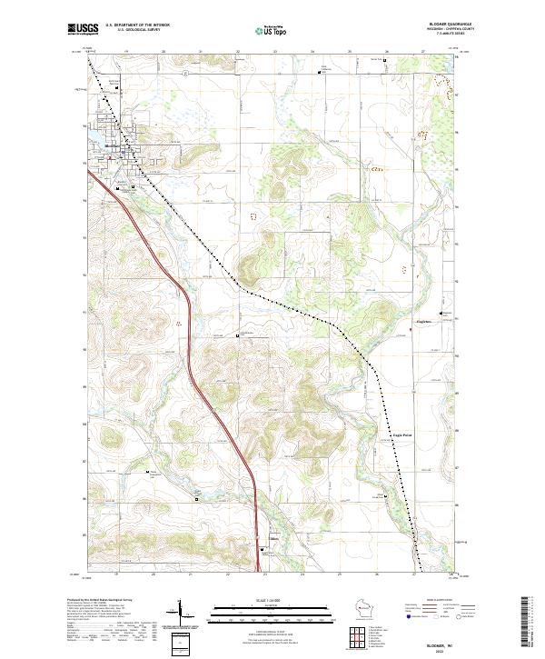 2022 Bloomer2022 Print · USGSThe community of Bloomer and its surrounding townships are shown here in the early twenty-first century, anchored by the waters of Duncan Creek. Researchers can locate several rural burial grounds and crossroads settlements, including the Scandinavian Cem, Eagleton, and Tilden.
End of results
Showing maps 1-23 of 23
Top cities near Tilden
- Eau Claire historical maps
- Chippewa Falls historical maps
- Altoona historical maps
- Lake Hallie historical maps
- Town of Washington historical maps
- Town of Lafayette historical maps
See more
Frequently asked questions
- What are the different types of historical maps available for Tilden?
- What is the oldest map of Tilden?
- Where can I purchase historical maps of Tilden for my home or office?
- Where can I download high-res historical maps of Tilden?
- Are there historical topographic maps available for Tilden?
- Is there historical aerial imagery available for Tilden?
- Where are historical maps of Tilden sourced from?