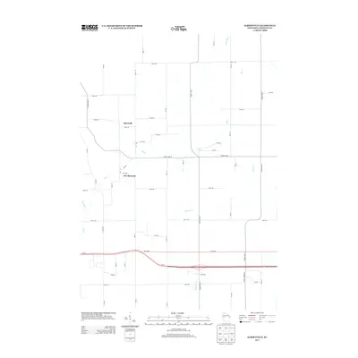
2013 Map of Albertville
USGS Topo · Published 2013About this map
Albertville and Old Albertville serve as the primary hubs in this western Wisconsin landscape, situated along the winding course of Elk Cr. This 2013 survey illustrates a rural region defined by a precise grid of county roads and avenues, where agricultural land is intersected by a network of waterways including Sherman Cr and Little Hay Cr. The geography is bisected by the modern corridor of Wi-29, showing the evolution of local travel from traditional country routes to the high-speed transit of the early 21st century. The distinction between the contemporary settlement and the site of Old Albertville offers a clear view of how development has shifted over time in response to transportation and commerce, while smaller tributaries like Beaver Cr and Big Elk Cr continue to mark the natural drainage patterns of the Chippewa County terrain.
Find a feature on this map
45 named features on this map. Tap any name to fly to it.
Don’t see what you’re looking for? This feature index may not catch every label — zoom into the map to look around manually.
Map Details
Editions of this 2013 Albertville Map
This is the sole edition of this map. No revisions or reprints were ever made.
Other maps of this area

1934 · Elk Mound
USGS Topo · 1:62,500

1934 · Chippewa Falls
USGS Topo · 1:62,500

1936 · Chippewa Falls
USGS Topo · 1:62,500

1936 · Elk Mound
USGS Topo · 1:62,500

1949 · Bloomer
USGS Topo · 1:62,500

1949 · New Auburn
USGS Topo · 1:62,500

1951 · Bloomer
USGS Topo · 1:62,500

1951 · New Auburn
USGS Topo · 1:62,500

1953 · Eau Claire
USGS Topo · 1:250,000

1953 · Rice Lake
USGS Topo · 1:250,000